
Chadron State Park, Nebraska - June 20th to 23rd, 2026
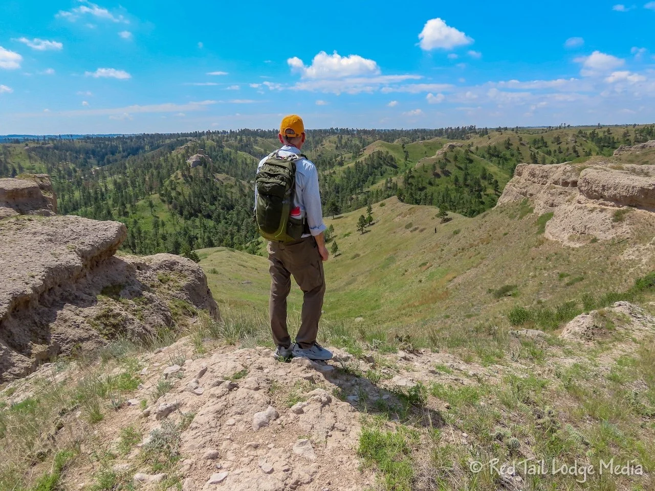
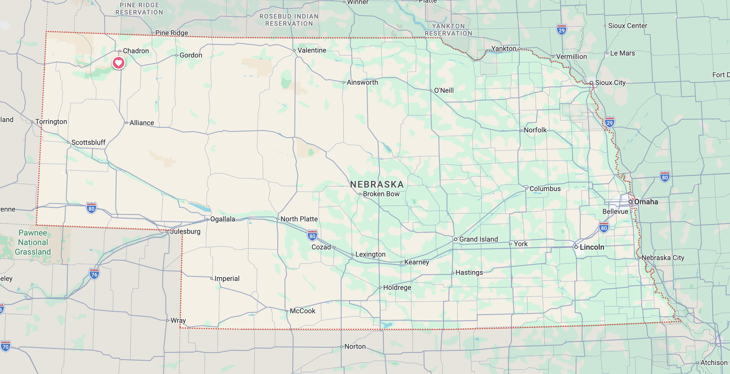
Chadron State Park in Nebraska was our first destination as we made our way to Chicago to start Route 66. We also worked in some interesting sites along the way, such as Chimney Rock National Historical Site and Carhenge, as well as the nearby Agate Fossil Beds National Monument.
It felt good to get back on the road with Red Tail (our Winnebago EKKO) for Season Eight: Route 66. Well, we already had a two week trip back in February, but we kept Red Tail winterized for that trip, so it didn’t seem the same. Season Seven: Europe was a fantastic trip, but traveling in an RV is a lot easier. No living out of a suitcase. No eating out every meal. And no hand-washing clothes every evening.
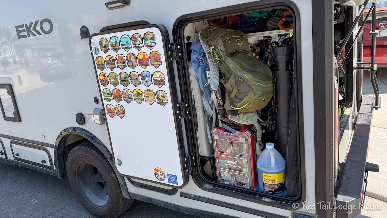
However, it did take us two full days to prepare Red Tail before hitting the road and that didn’t include de-winterizing or recalibrating the house batteries, which we had done the week before. We keep a lot of the gear stored in Red Tail all the time, but it still took about one day to pack everything else back in, like our clothing, food, and recreational toys. The second day was mostly spent testing out all the systems, recharging or replacing all the various batteries (like motion lights, temperature sensors, and smoke detectors) and Ann checking off her detailed lists to make sure we didn’t forget anything. She keeps our packing list in a spreadsheet. Our Prepare for Season checklist is in the Check Check Checklist phone app (unpaid link).
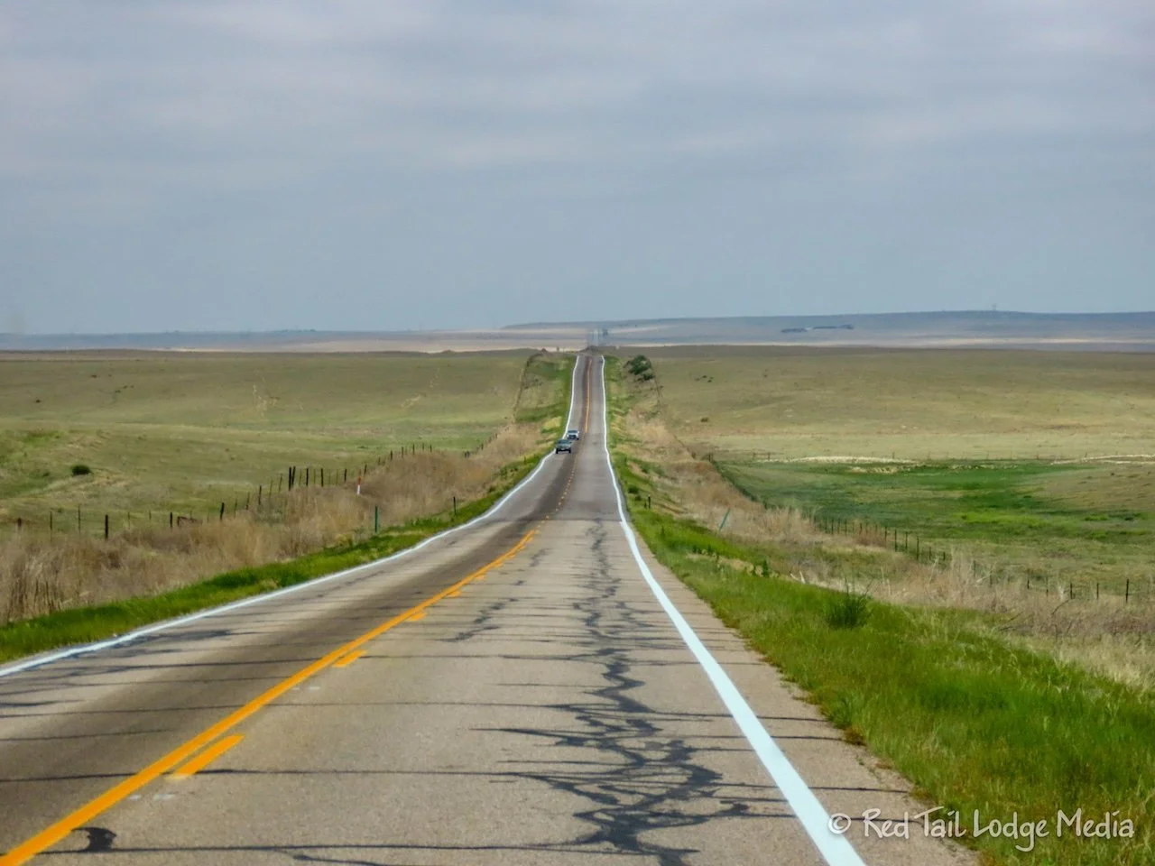
Our first day of traveling was from home in Broomfield to Chadron State Park in Nebraska. It was about a five hour drive, but we made several stops to get out and stretch our legs along the way.
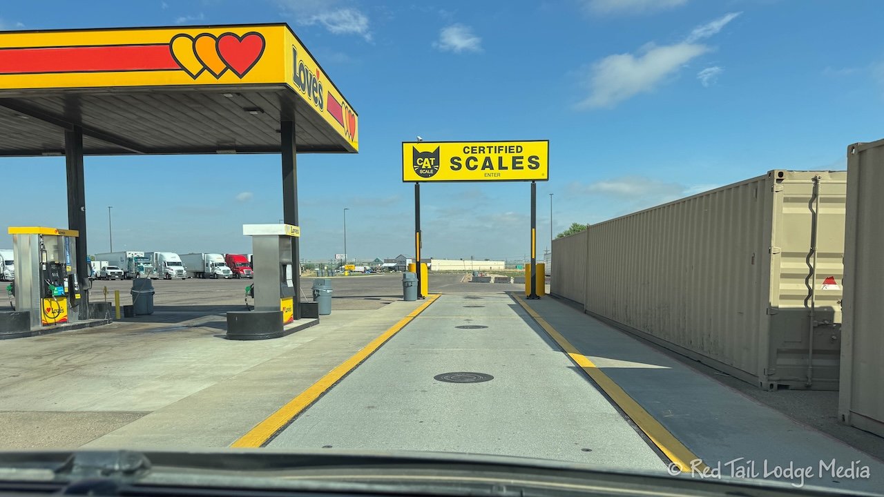
The first stop was at a Love’s truck stop in Hudson, Colorado. We wanted to weigh Red Tail at a CAT Scale, like we do at the start of every season, to make sure we are under our GVWR (Gross Vehicle Weight Rating). We filled the gas tank first, then got on the scale. The reading was 10,940 lb and our GVWR is 11,000 lb, so we had 60 lb to spare. All our tanks were full except for our gray tank, which was empty, and our fresh tank, which was only at 35 gallons out of the possible 50 gallons. We know we are normally near our GVWR, so we purposely did not fill our fresh tank all the way until we knew what our weight was. Water is heavy. It weighs about 8.3 lb per gallon. So we could add another 7 gallons of water, bringing our fresh water up to 42 gallons. We usually fill our fresh water only to 80% (40 gallons), since we generally don’t need more than that between filling it up every four to five days and, by not being completely full, it keeps the tank from spilling when we park on a slope.
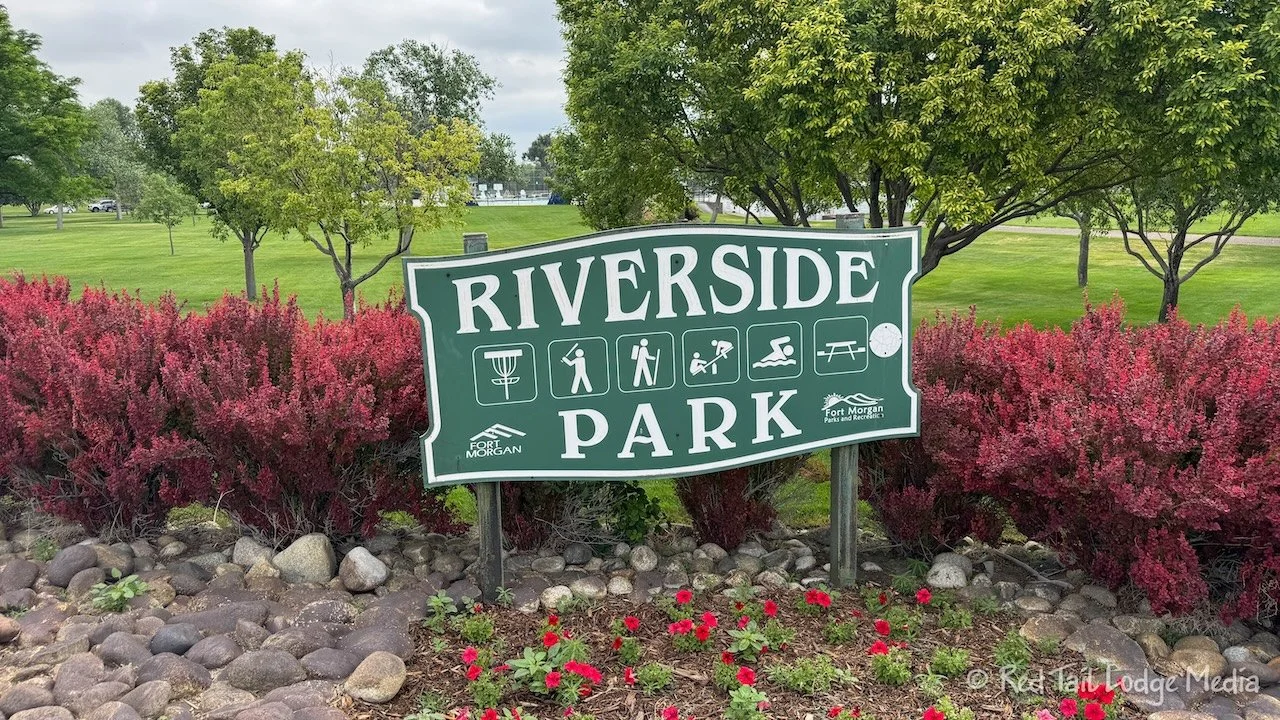
Our second stop was in Fort Morgan Colorado. There is a nice park called Riverside Park right along the South Platte River. It was a Saturday and there were a lot of people in the park. Several youth baseball games were being played and it looked like there was a disc golf tournament going on. There was a nice swimming pool in the park with no one in it, but it was only 10 am, so it may not have been open yet.
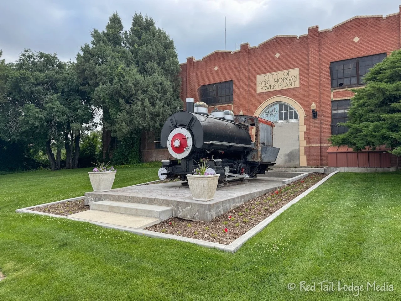
We got out and took a stroll through the park. Near one entrance to the park is an old locomotive, GWSCX Locomotive 41, which sits outside the old city power plant.
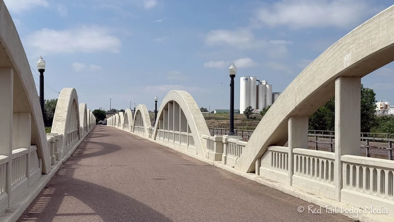
At the other park entrance is the Rainbow Arch Bridge, stretching across the South Platte River. The bridge was built in 1923, but has been closed to vehicular traffic since 1987. It is now only open for pedestrians and cyclists. The rainbow arch style of bridges was known for its beauty and strength. This particular bridge in Fort Morgan is one of the largest and grandest of that type and the only one in Colorado. It withstood several major floods of the South Platte River.
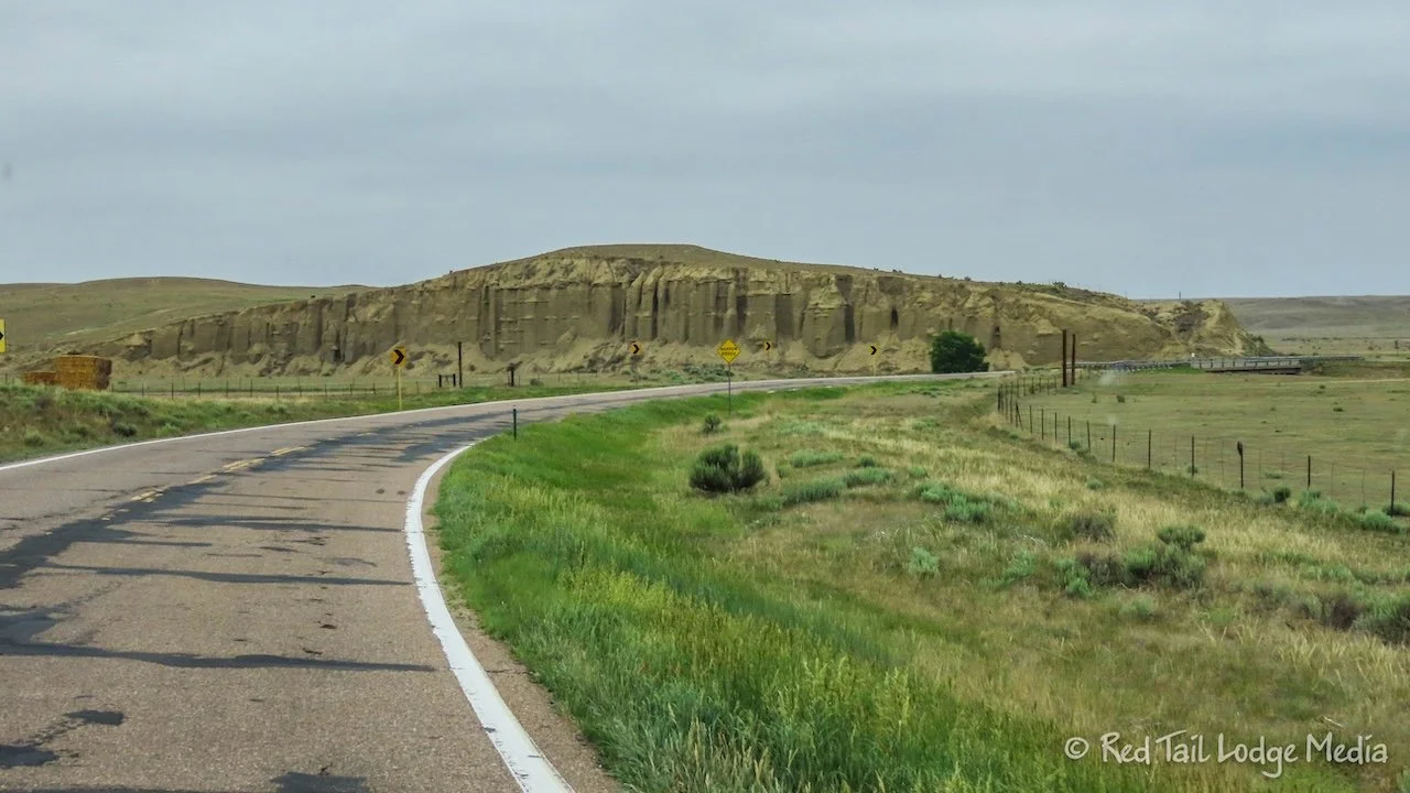
From Fort Morgan, we headed north, through the Pawnee National Grasslands. We were hoping to get a glimpse of the two Pawnee Buttes, but we were too far to the east to see them. But we’ve been there before, back during Season Two (Hikes 10 to 14 in Colorado - January 2020).
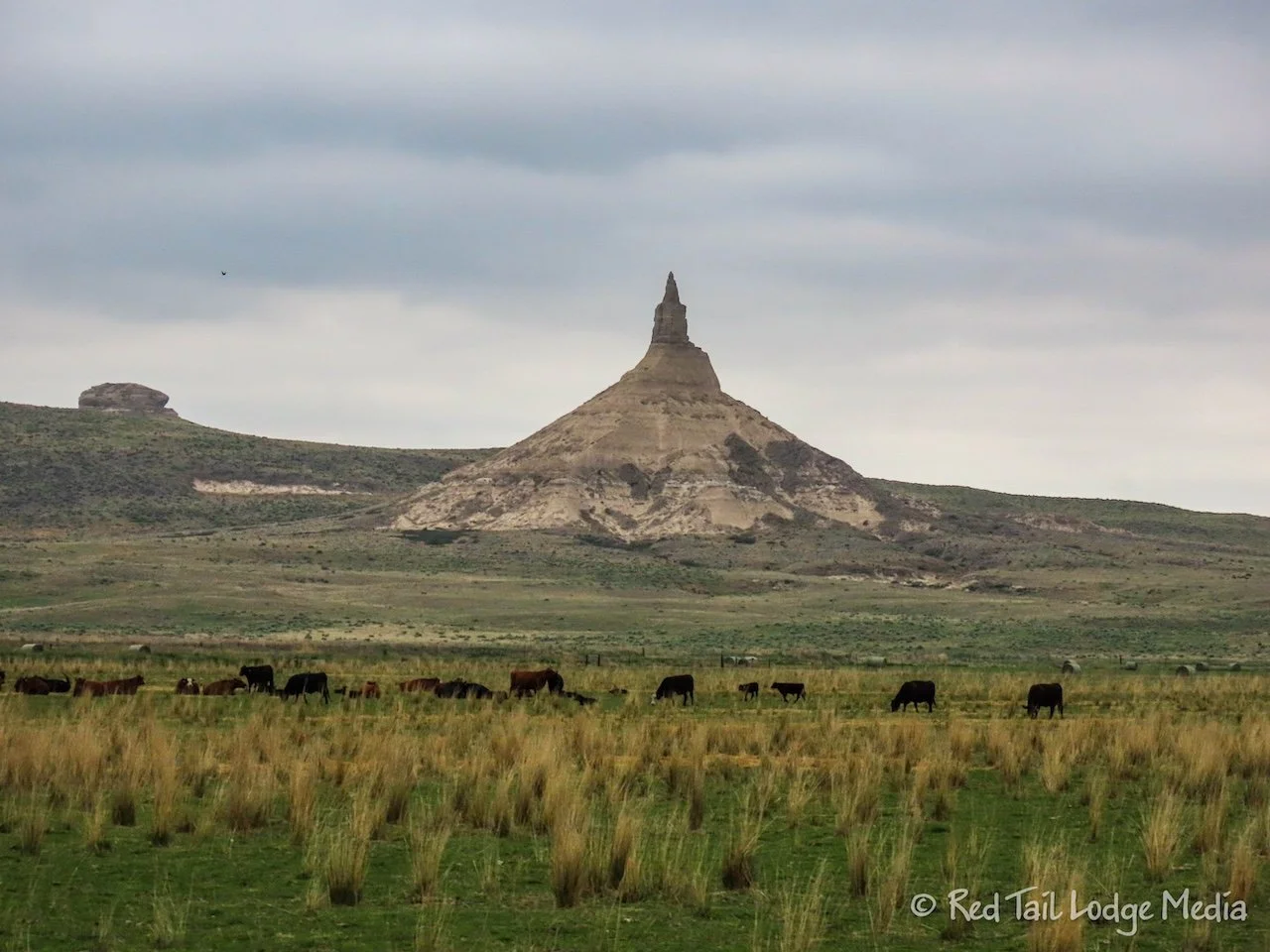
Stop number three was at Chimney Rock National Historic Site in Nebraska, just east of Scotts Bluff. Chimney Rock was a well known landmark along the Oregon Trail, the Mormon Trail, the California Trail, and the Pony Express Trail from the 1800’s. Even though it is a National Historic Site, the site is now managed by the Nebraska State Historical Society.
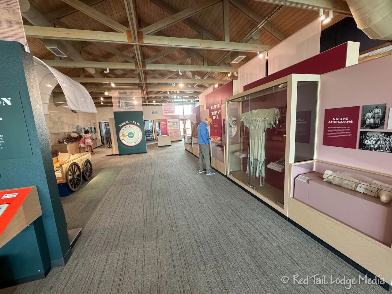
There is a visitor center which houses a museum and book store. The museum, which was $5 per adult to enter when we were there, contains displays about the four trails that passed by Chimney Rock. They explained the history of the trails, what life was like on the trail, and the life of the tribes along the trails.
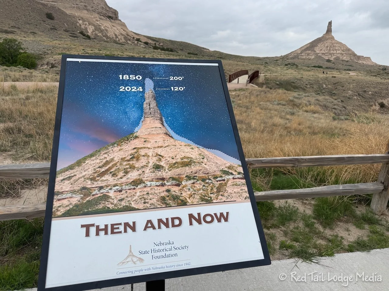
Behind the visitor center is a small network of walking trails, which take you closer to the Chimney Rock formation. There is another trailhead closer to the formation, managed by a non-profit organization. However, none of the trails actually reach the rock formation, as Chimney Rock itself sits on private land.
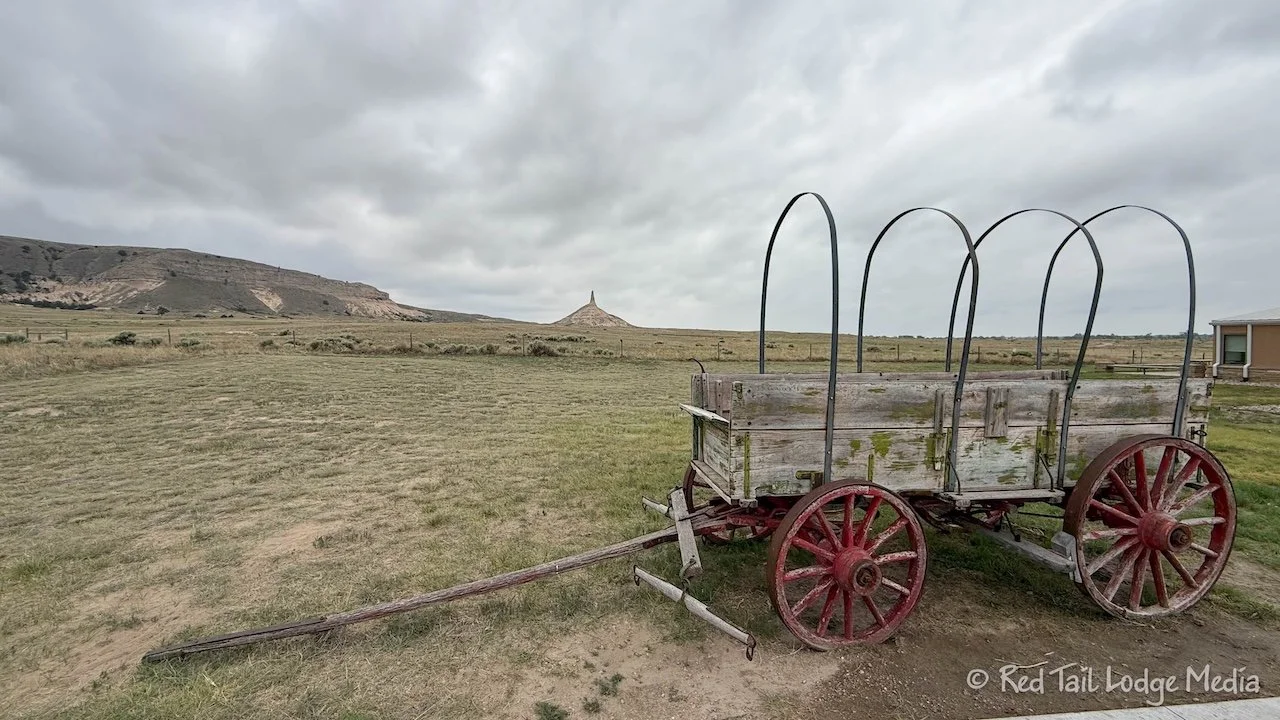
After eating lunch in Red Tail and visiting the museum, we walked the outer loop of the trails. The 1.7 miles took us 38 minutes to complete, including stopping to take pictures along the way.
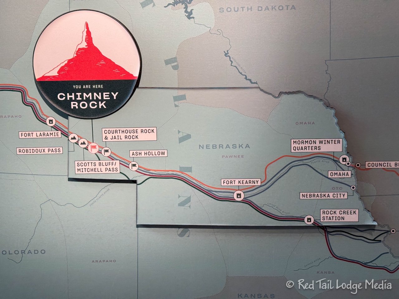
Chimney Rock was a nice break from driving. It was an interesting short stop, but not quite as interesting as Scotts Bluff National Monument. We’ve been to Scotts Bluff before, on our way back from Alaska during Season Four (Scotts Bluff, Nebraska - October 14th to 15th, 2022). If you don’t have much time, Chimney Rock is a good choice. If you have more time, we would recommend Scotts Bluff over Chimney Rock. If you have plenty of time, visit both!
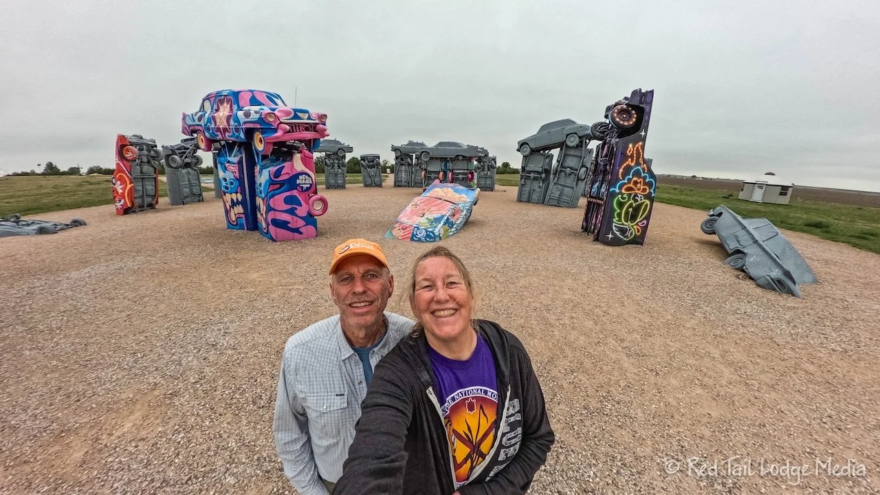
Our final stop was Carhenge in Alliance, Nebraska. This was a quick and quirky stop. It is an art installation which is free to the public, managed by the city. It is similar to Cadillac Ranch (which we will be visiting later this season) near Amarillo Texas along Route 66, with cars standing on end, half buried in the ground. However, unlike Cadillac Ranch, Carhenge does not allow graffiti on the cars, except for one set aside for that purpose. There is a little souvenir shop where we picked up a couple of drinks to show our appreciation of the art.
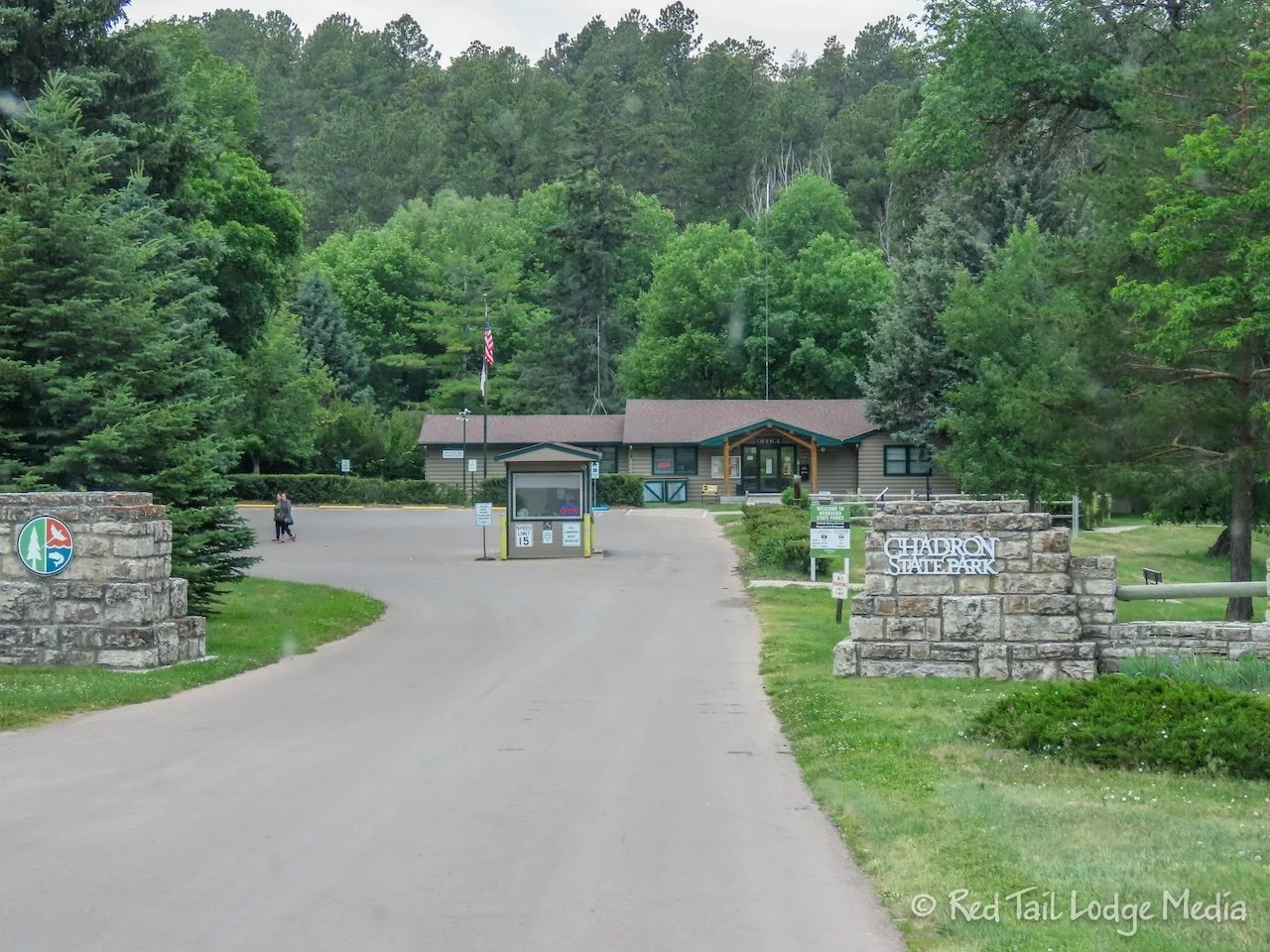
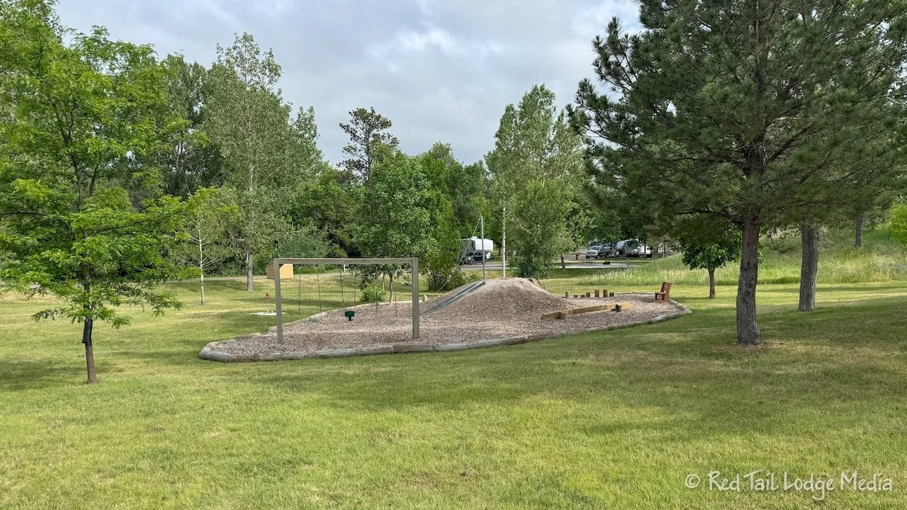
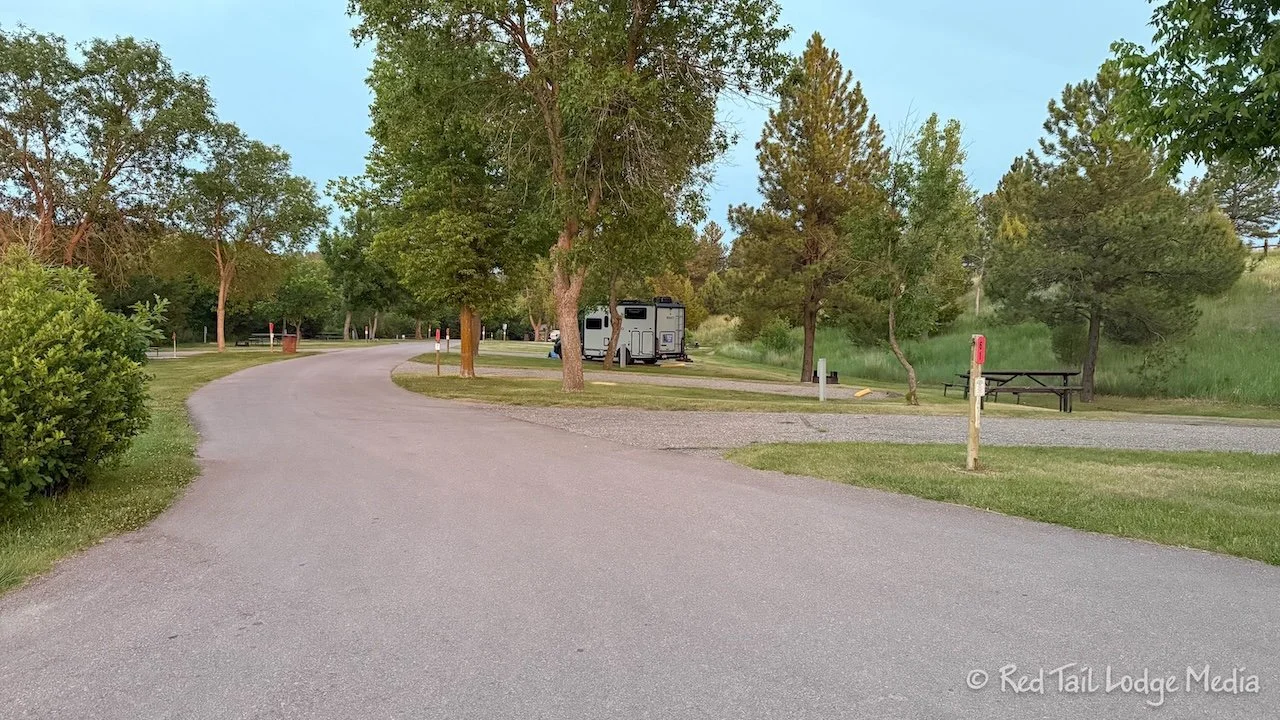
We arrived at Chadron State Park around 4 pm. It is a lovely state park. The camp sites are nicely spaced. There are hiking trails, a swimming pool, a fishing pond where you can rent pedal boats, archery and shooting ranges, playgrounds and a trading post with food and drinks, souvenirs, and arts & crafts supplies.
We quickly set up camp and took a walk around the campground loop so Ann could close her move ring before the rains arrived. However, it didn’t really start raining until about 7 pm. So we had plenty of time to sit outside and eat dinner beforehand. It rained hard, but it didn’t rain for very long, probably less than an hour.
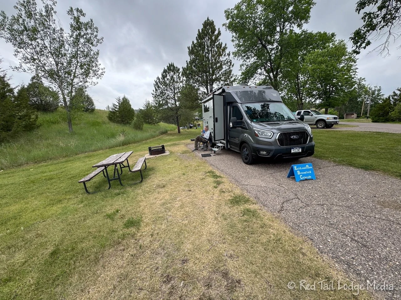
Even though it had been months since we last slept in Red Tail, we both slept really well that night. It was still a familiar bed and it felt like home. And Red Tail is our home, for months at a time.
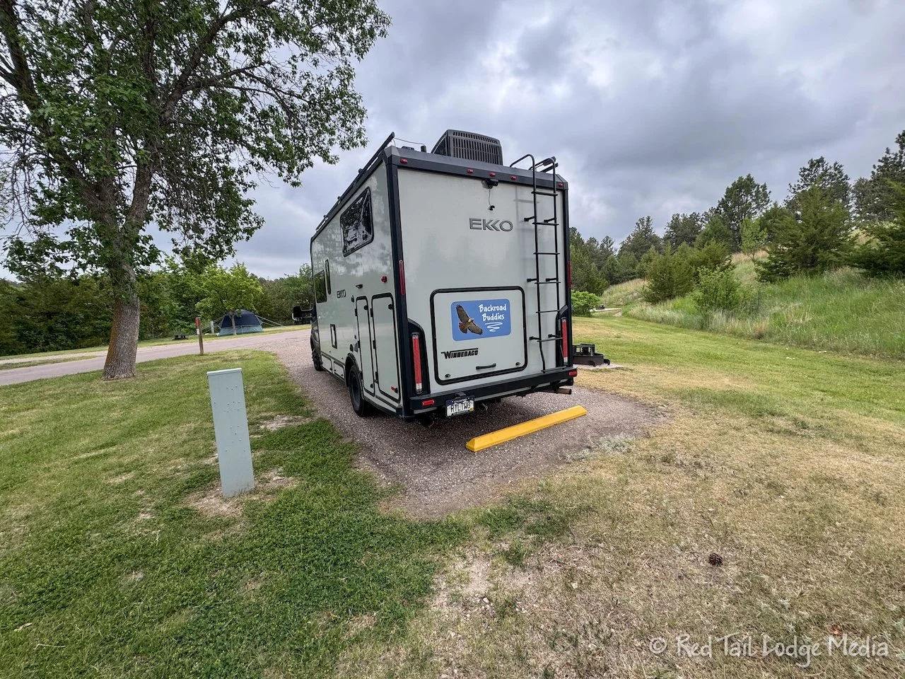
Morning was a familiar routine as well. Ann ate her usual breakfast of yogurt, granola, cashews, pumpkin seeds, and blueberries along with a cup of juice while Keith just drank his coffee.
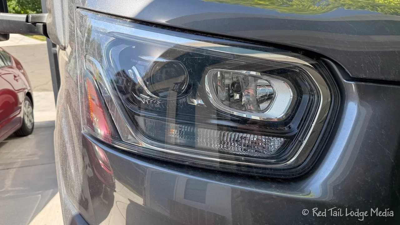
Keith replaced one of Red Tail’s headlight bulbs. As we were checking out all the systems the day before we left, we noticed one of the bulbs was not coming on. There are two headlight bulbs on each side. Just one of the four bulbs was not coming on. Before we left home, Keith ran over to the auto parts store and bought two bulbs. So he replaced both the bulb that wasn’t working and the corresponding bulb on the other side, but kept it as a spare. However, after he replaced the bulbs, neither one would turn on. Bummer!
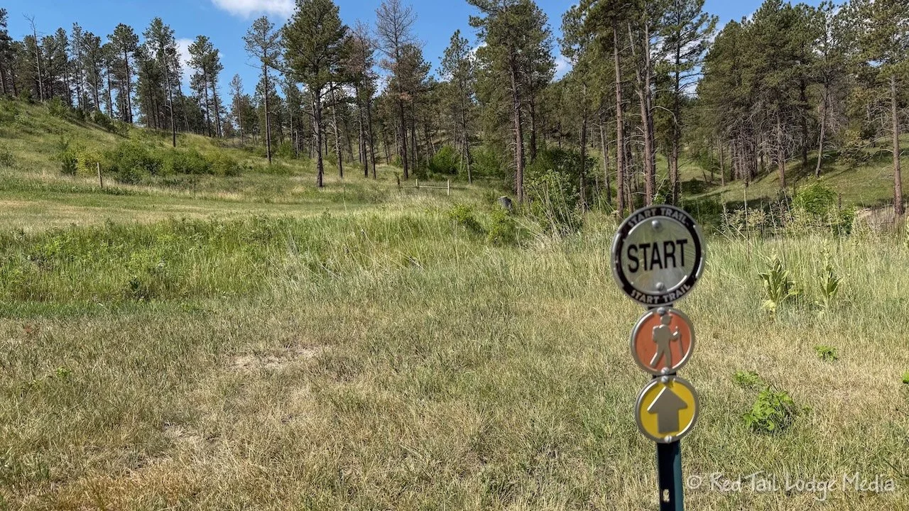
Around 10 am, we went for a hike. It was a beautiful morning. The sun was out, but rain was predicted for later the day, so we wanted to get a hike in before then.
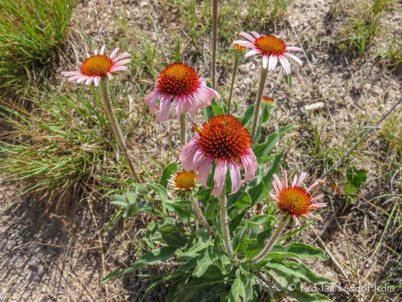
The trail we picked out is called Blackhills Overlook Trail. The trailhead was right in the campground. It started out in a wooded ravine, with bird song surrounding us. Then it climbed up to a rocky ridge line, with wildflowers lining the trail.
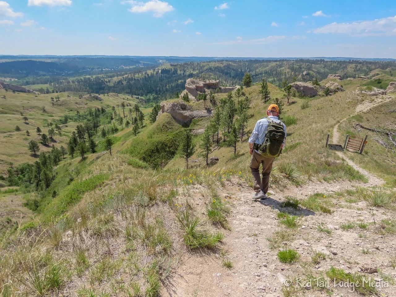
The route split, forming a loop in the middle. We went in the counter-clockwise direction, as the All Trails track showed. When we reached the point where the two halves of the loop joined back together, Ann misread the map and we turned onto the half heading back, instead of the one leading over to the overlook. It followed a narrow ridge line before dropping down. At the point where the trail left the ridge line, Ann checked the map again and discovered her mistake. So we back tracked to the trail junction and took the trail to the overlook this time.
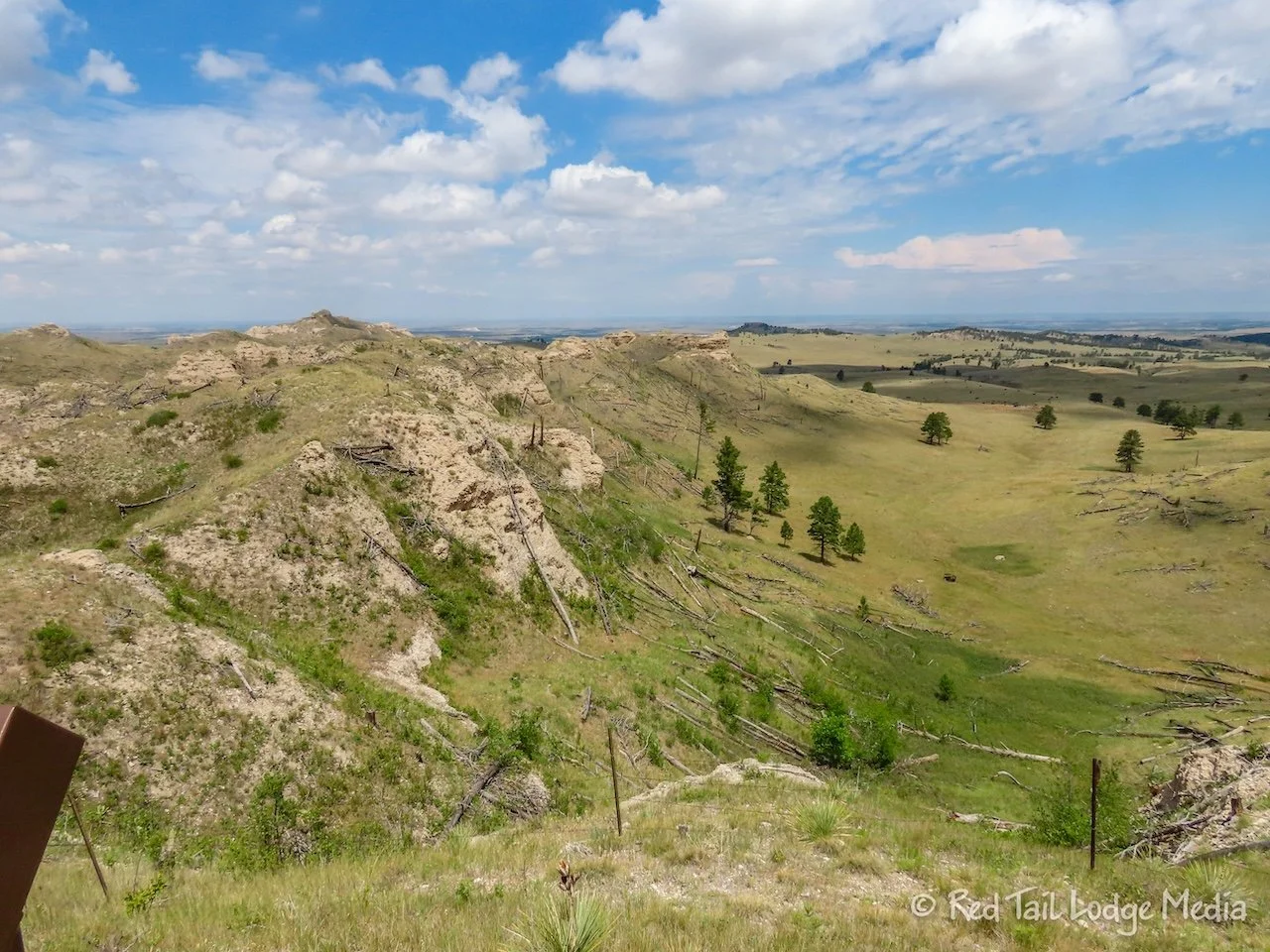
The overlook is near a parking lot, so you could just drive or ride your bike up to the overlook. However, we thought the views along the trail were better than the overlook. Then we turned around and worked our way back.
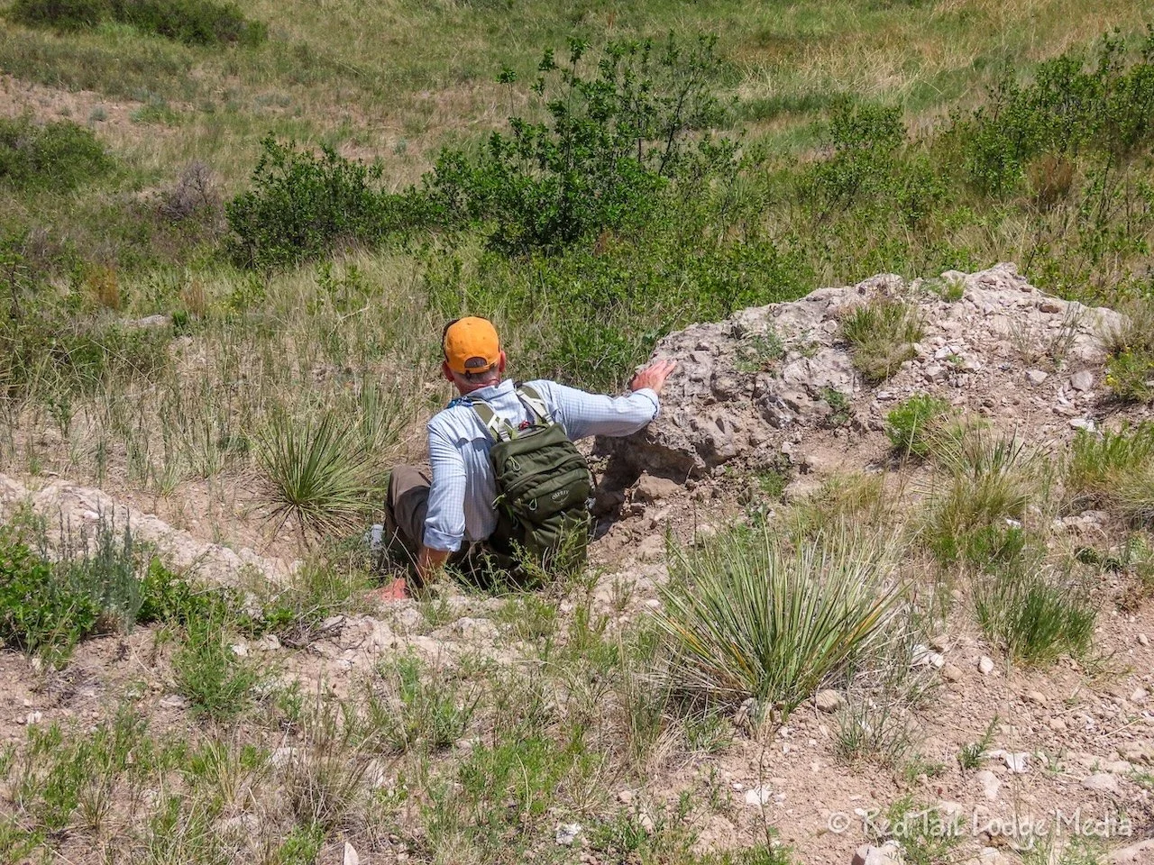
The section of trail as it dropped down from the narrow ridge line was the hardest and sketchiest of the whole route. There were places where the trail was steep with loose footing, but they were short-lived without much exposure, so it wasn’t too bad. But Keith was regretting his decision not to bring a trekking pole.
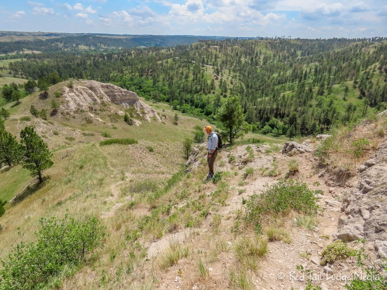
The route was supposed to be only 3.5 miles long, but due to Ann’s poor mapping skills (and bad eyesight perhaps?), we covered 4.1 miles from our campsite, with an elevation gain of 541 feet which took us two hours and twenty minutes. We counted it as hike number 6 of our 52 Hike Challenge for 2026. As 2026 is already more than half over, we need to start hiking more to catch up!
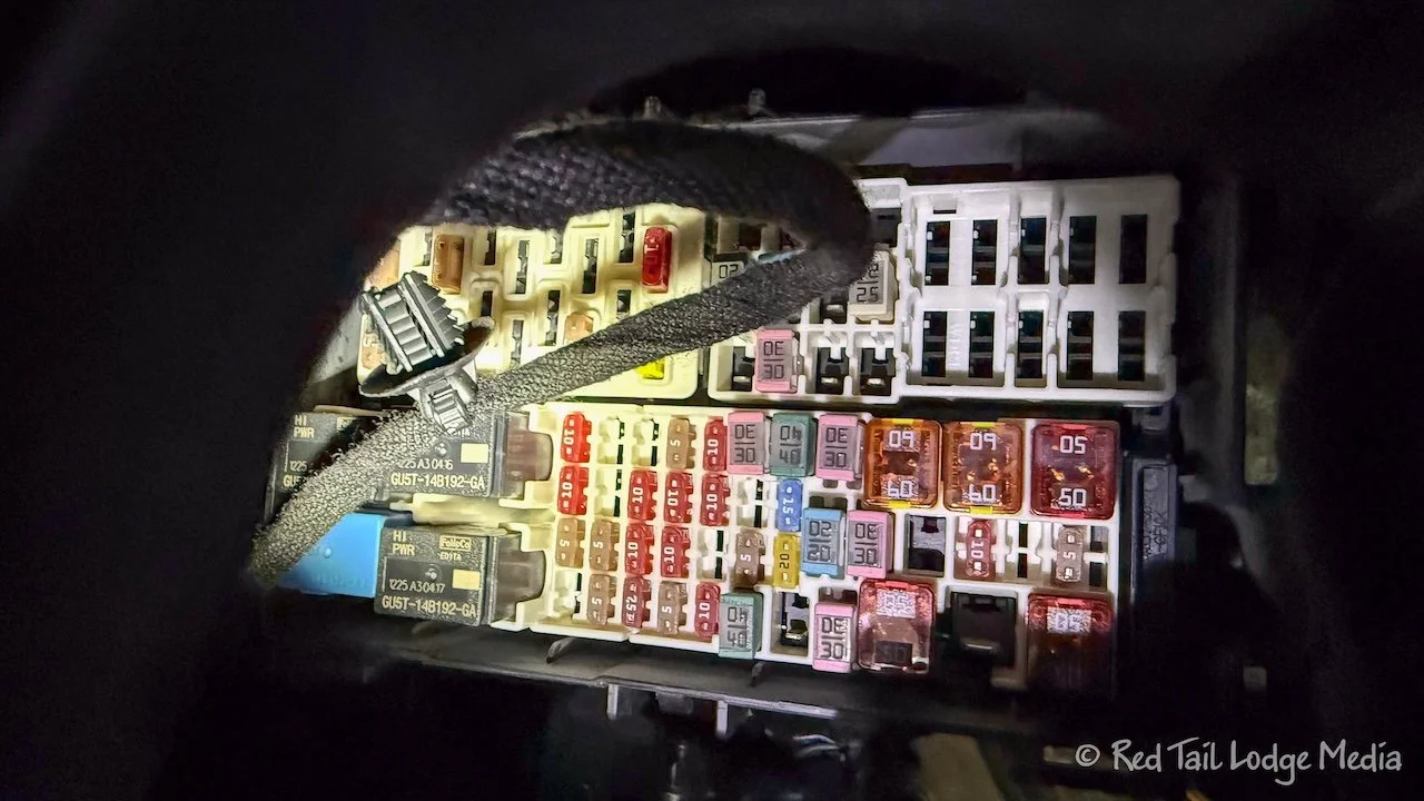
After lunch, Keith tried to debug the headlights again. He tried putting the old good bulb back in. It didn’t work. Then he was thinking maybe a fuse blew. The fuses for the headlights are located in a hard to reach place under the steering wheel and it was a type of fuse that we didn’t have in our spare fuse collection. So Keith tried swapping the fuse with another of the same type. Still the bulbs would not turn on. We looked at the wiring leading to the bulbs, looking for rodent damage. We couldn’t follow the wires very far, but most of the time they were enclosed in a protective sheathing.
We’ve had some other rodent damage, such as the oxygen sensor for the catalytic converter and our battery tender that we use during storage to keep the chassis batteries charged. If it was rodent damage, we were losing confidence that we could find it ourselves, so we were considering taking Red Tail in to a Ford dealer. There was one in Chadron, so we planned on going there on Monday, the following day.
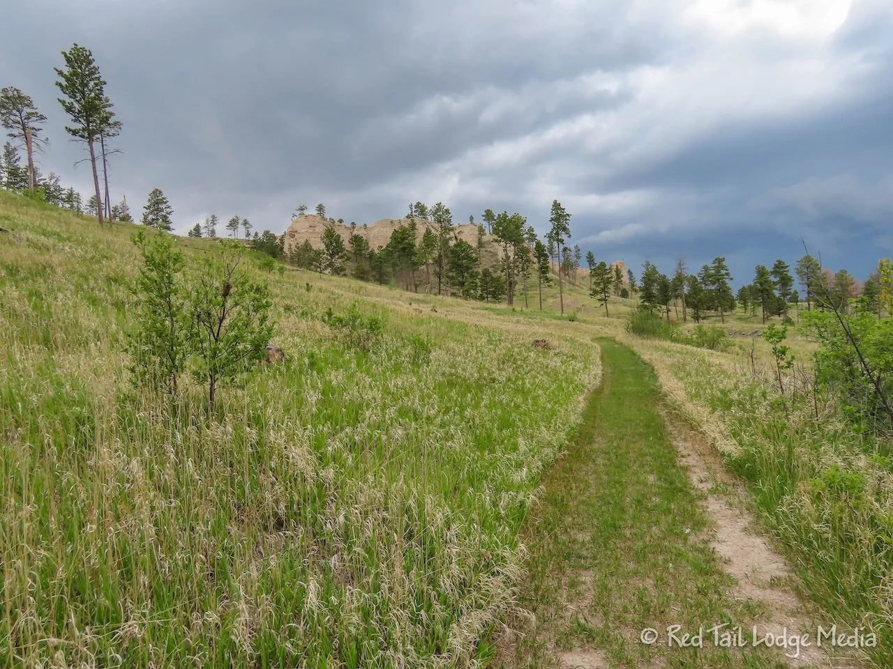
Around 2:30 in the afternoon, we decided to walk over to the archery range to check it out. From the campground, it was about a two mile walk, even taking the Cabin Trail over instead of walking the road. This time it was Keith’s turn to misread the map. He thought the archery symbol on the map was the indoor shooting range. As the Cabin Trail reached the road again, it passes by an outdoor archery range, but Keith still believed the indoor range was along the road.
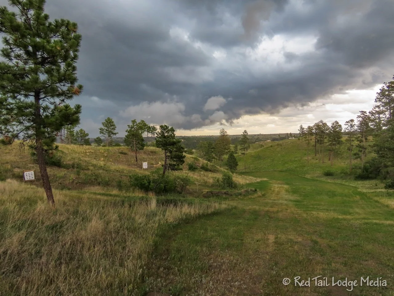
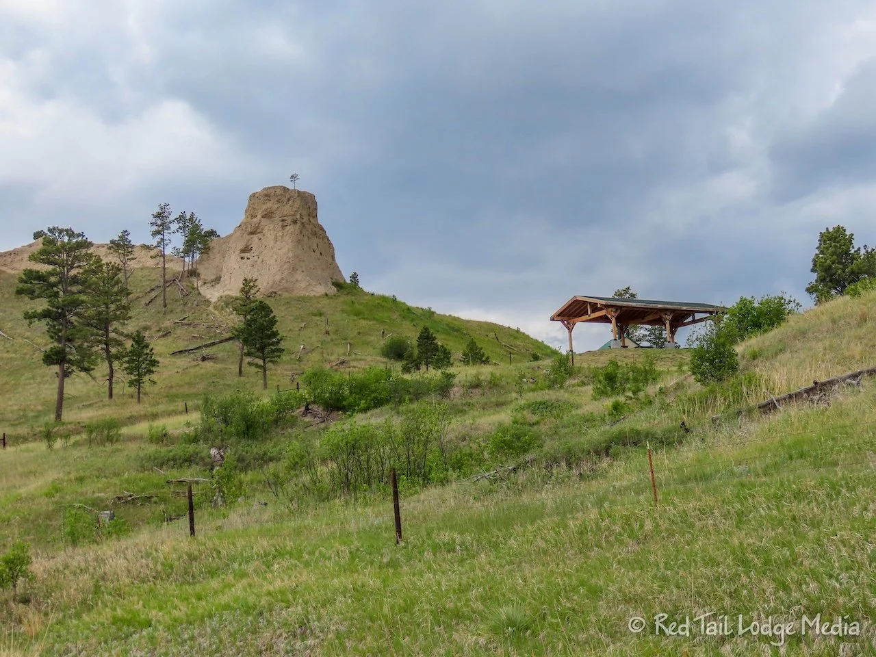
By this time, thunderstorms started rolling in. We turned left on the road and hastily made our way to a picnic shelter, where we took refuge from the storm. It didn’t rain hard, but we were more concerned about the lightning. As we sat there, we looked at the paper map again. It looked like we had turned the wrong way and the archery symbol was back the other way. So when the storm let up some, we headed back on the road.
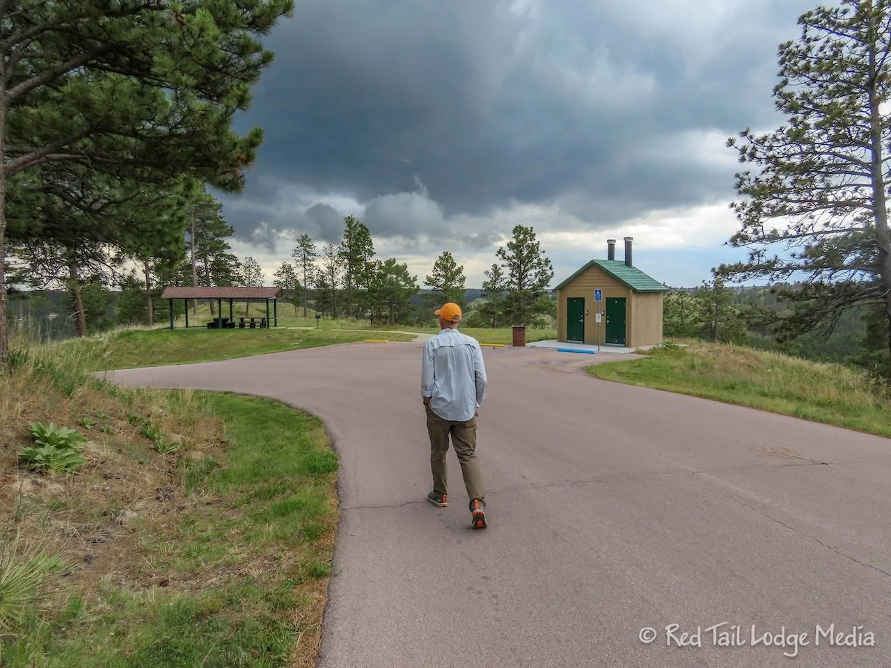
However, we reached a road junction that was past the archery symbol, so it was clearly marking where the outdoor range was. Looking at the map more closely, we found the shooting range symbol back near the Trading Post. So we turned around and walked the same section of road for the third time.
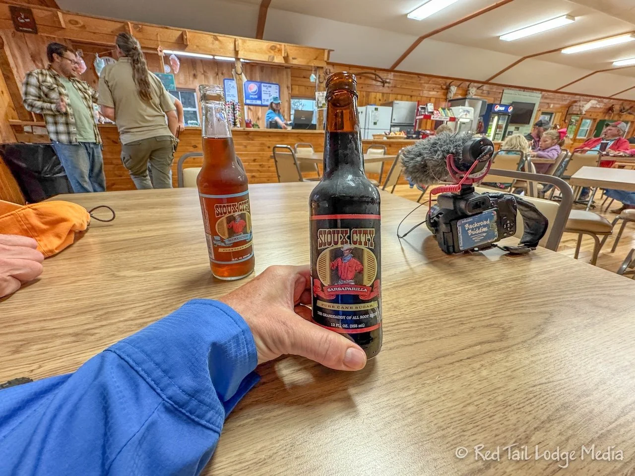
We continued on the road to the Trading Post, where we stopped to buy a couple of drinks. Ann picked out the Sioux City Sarsaparilla while Keith had the Sioux City Cream Soda. The drinks hit the spot, as we were out walking longer than we had planned.
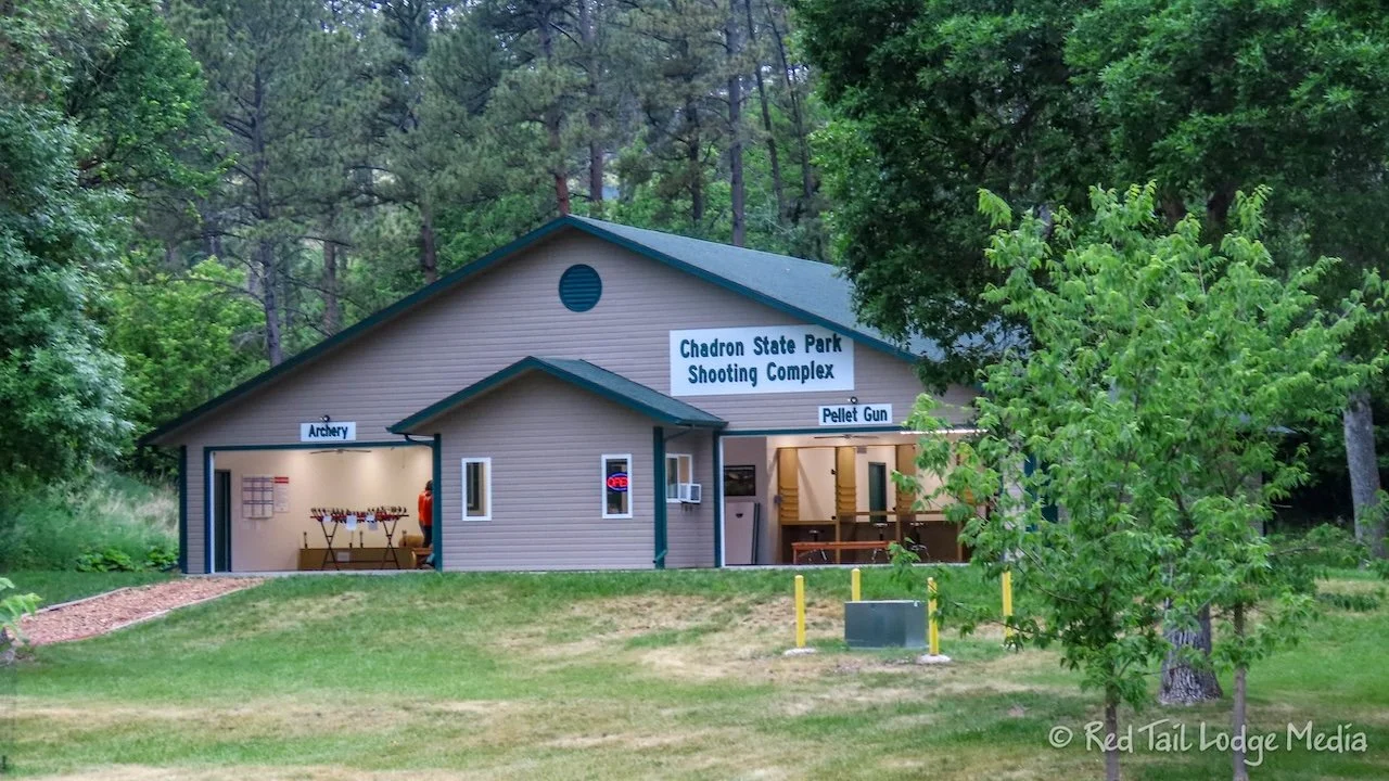
We finally made it to the shooting range, so Keith could ask his questions. It cost money to use the indoor archery range, even if you bring your own equipment, although at a reduced price. But Keith would rather use the outdoor range anyway. The outdoor range was free to use. The indoor range also had pellet guns and there was a place to throw tomahawks outside.
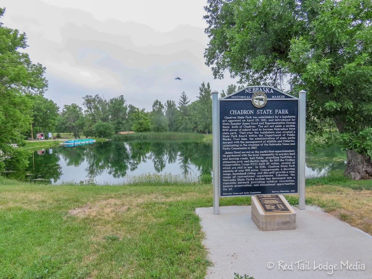
From there we walked past the fishing pond and back to the campground. By the time we reached our camp site, we had been gone for two hours and covered four miles. It was almost as long as our hike that morning.
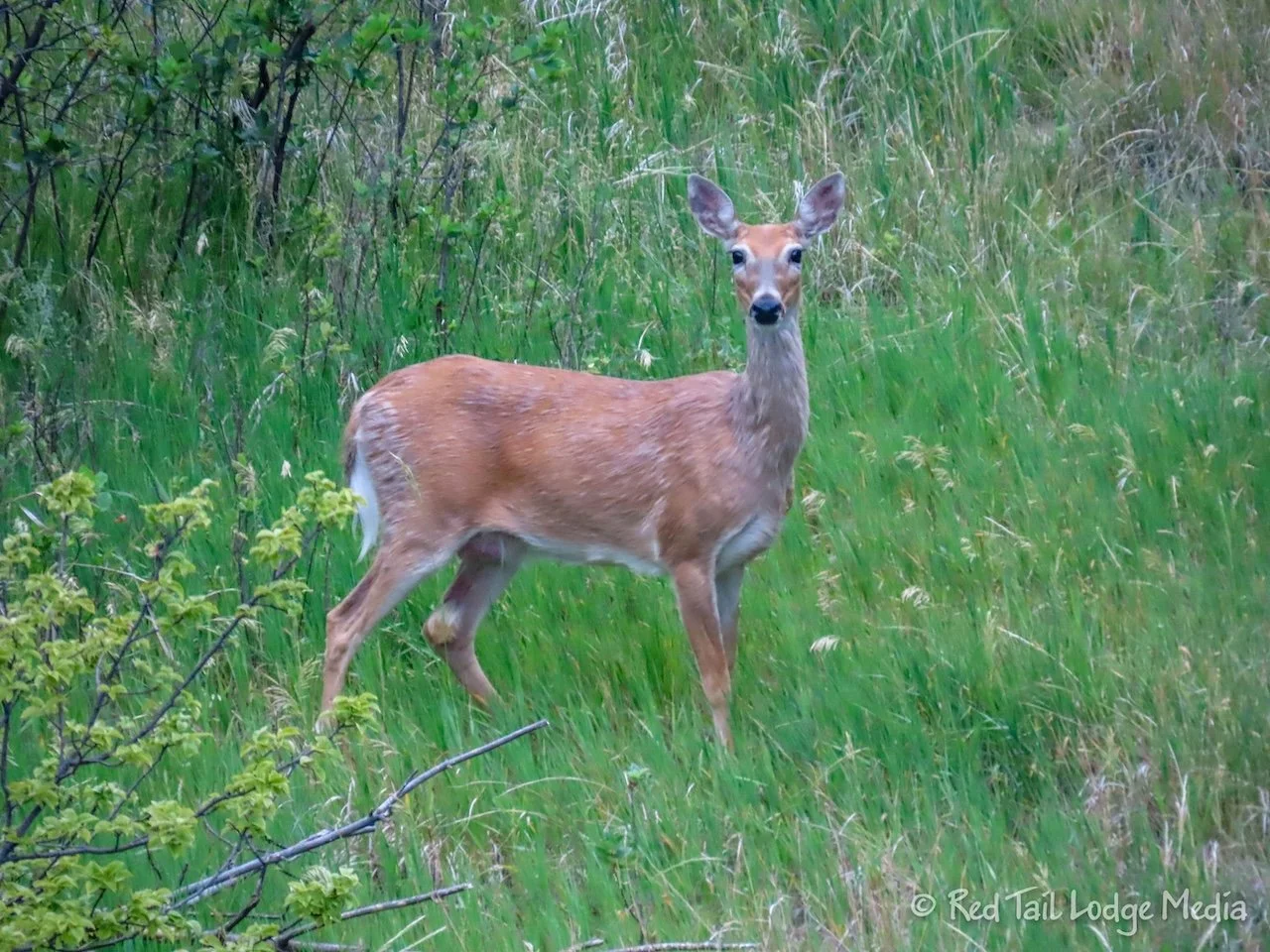
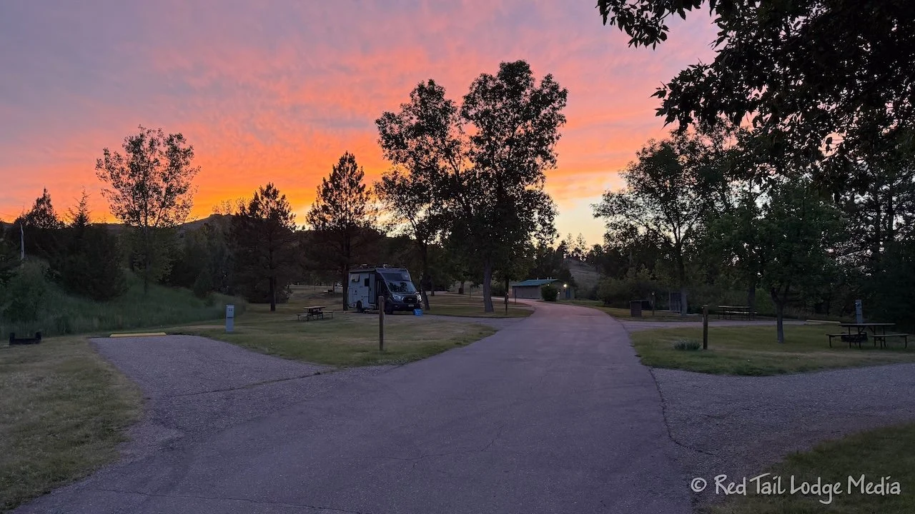
The skies had clouded over, but the rain for the most part had ended. So we were able to have a relaxing dinner outside in the evening.
Over night, Keith pondered about the headlights issue. It occurred to him that perhaps the inner two light bulbs were the ones that come on when the vehicle turns corners. So, in the morning, he tested out his theory. He turned on the headlights and turned the steering wheel to the left and right. Sure enough, each light would come on as the wheels were turned in that direction. There wasn’t an issue with the headlights at all. They were working as designed. It must have been that the first time we tested the headlights, the wheels were turned slightly, so that only one side was turned on, making us think that the corresponding bulb on the other side wasn’t working. Yay! Thankfully, we figured it out before driving into Chadron and embarrassing ourselves at the Ford dealer. The mistake only cost us one light bulb along with some time and frustration.
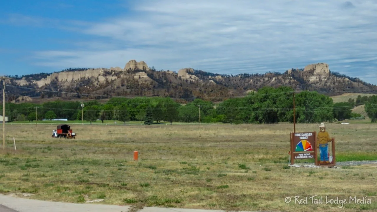
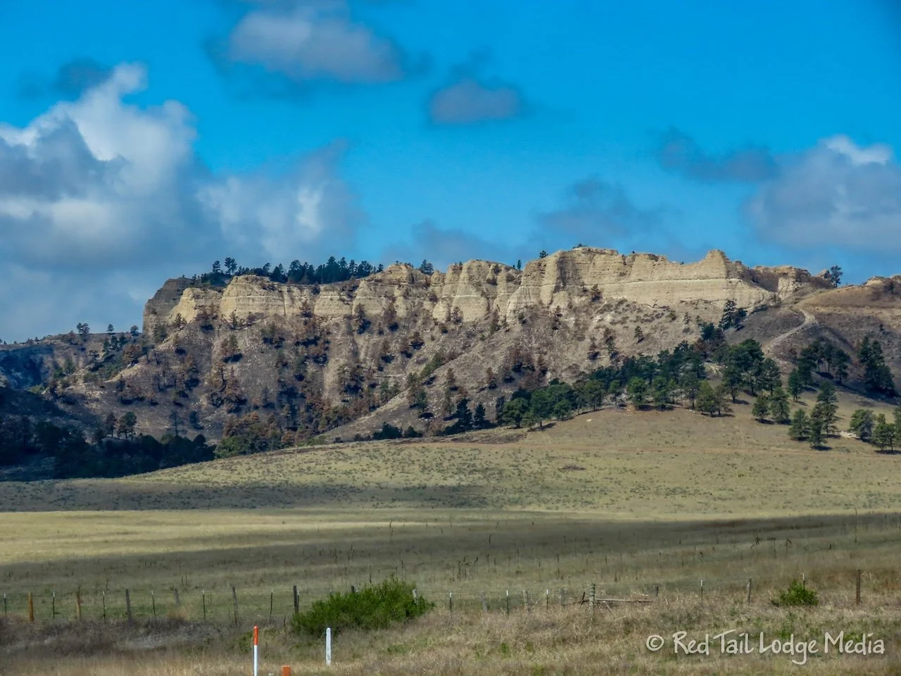
Monday, we drove over to Agate Fossil Beds National Monument to check it out. From Chadron State Park, it was about an hour and a half drive. After getting gas in the small town of Chadron, we drove by Fort Robinson State Park. The South Fork wildfire had consumed much of the state park, but spared most of the structures.
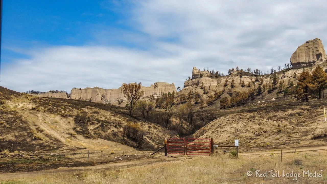
The South Fork wildfire started on June 9th. By June 15th, the fire had grown to just under 40,000 acres as it was about 50% contained and didn’t grow much more after that. By the time we drove by, the fire was about 90% contained.
We were hoping to hike some of the trails in Fort Robinson State Park, but that was now out of the question. It looked like the museum was open when we went by, so we’ll see if we have time to stop on our way back (we didn’t).
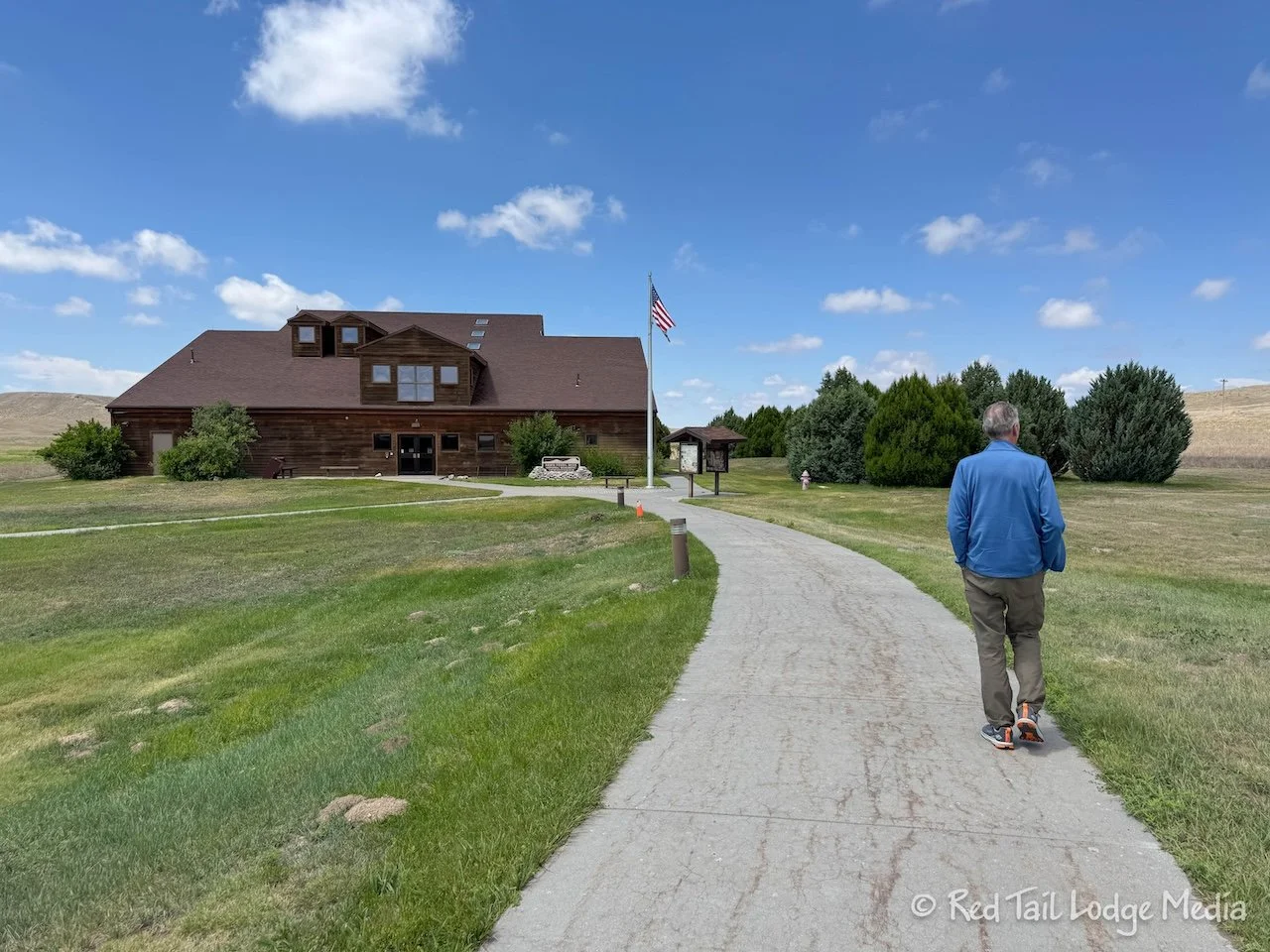
Agate Fossil Beds National Monument is where a rancher, James Cook, unearthed some fossils in the early 1900’s. What James initially thought were horse bone fossils turned out to be fossils of mammals from the Miocene epoch, about 23 to 5 million years ago.
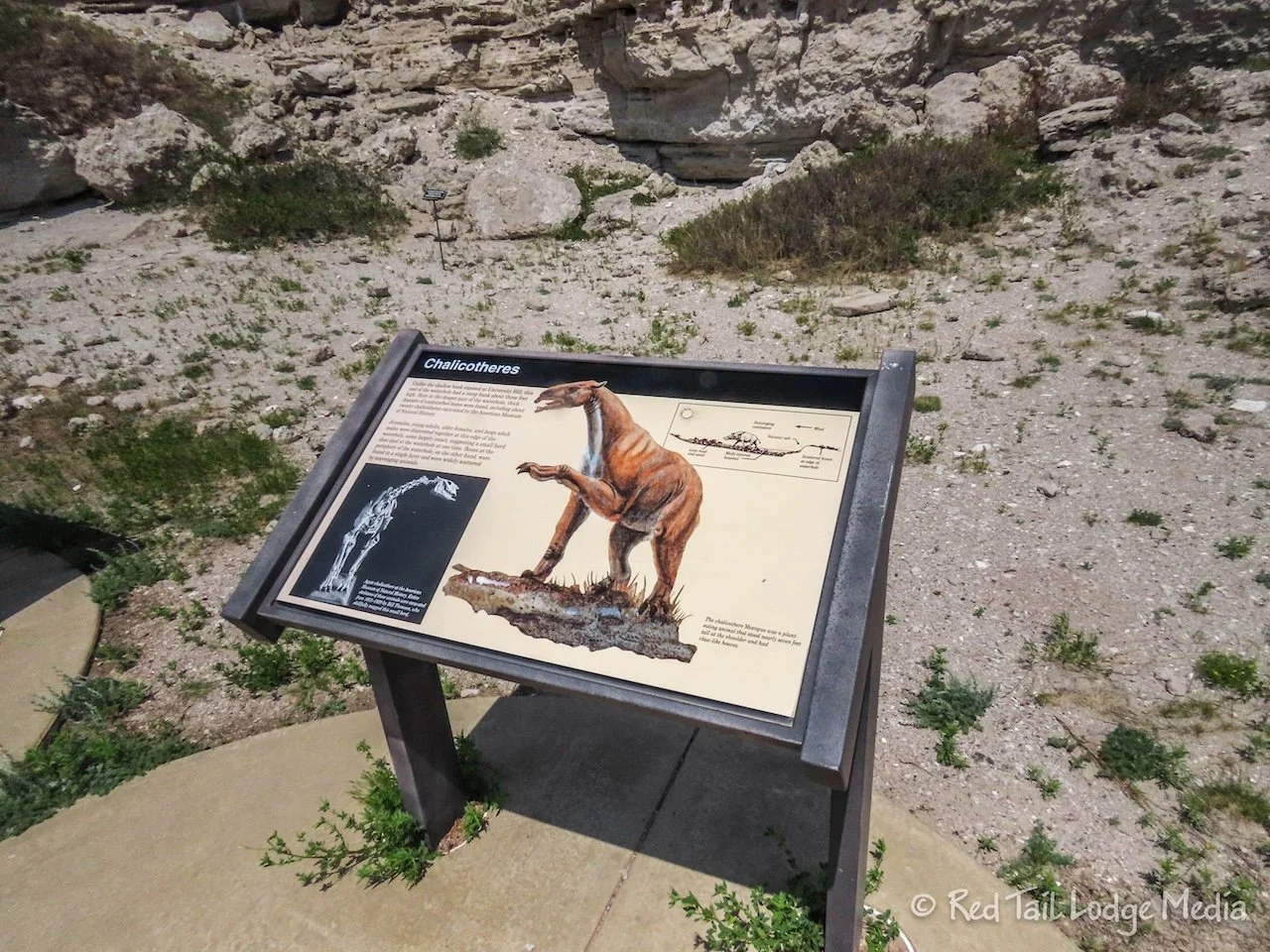
A large number of fossilized bones were found together in a couple of hills, now called Carnegie Hill and University Hill. They believe the bone bed was the result of a large die-off of animals in a watering hole during a long drought. Many complete skeletons were found of several different species, including the Daphoenodon (Beardog), Stenomylus (two-foot tall gazelle-camels), the Menocerus (three-toed rhinoceroses), Dinohyus (large mammals related to cows or pigs), Paleocastor (ancient beaver), and Moropus (a distant relative of the horse).
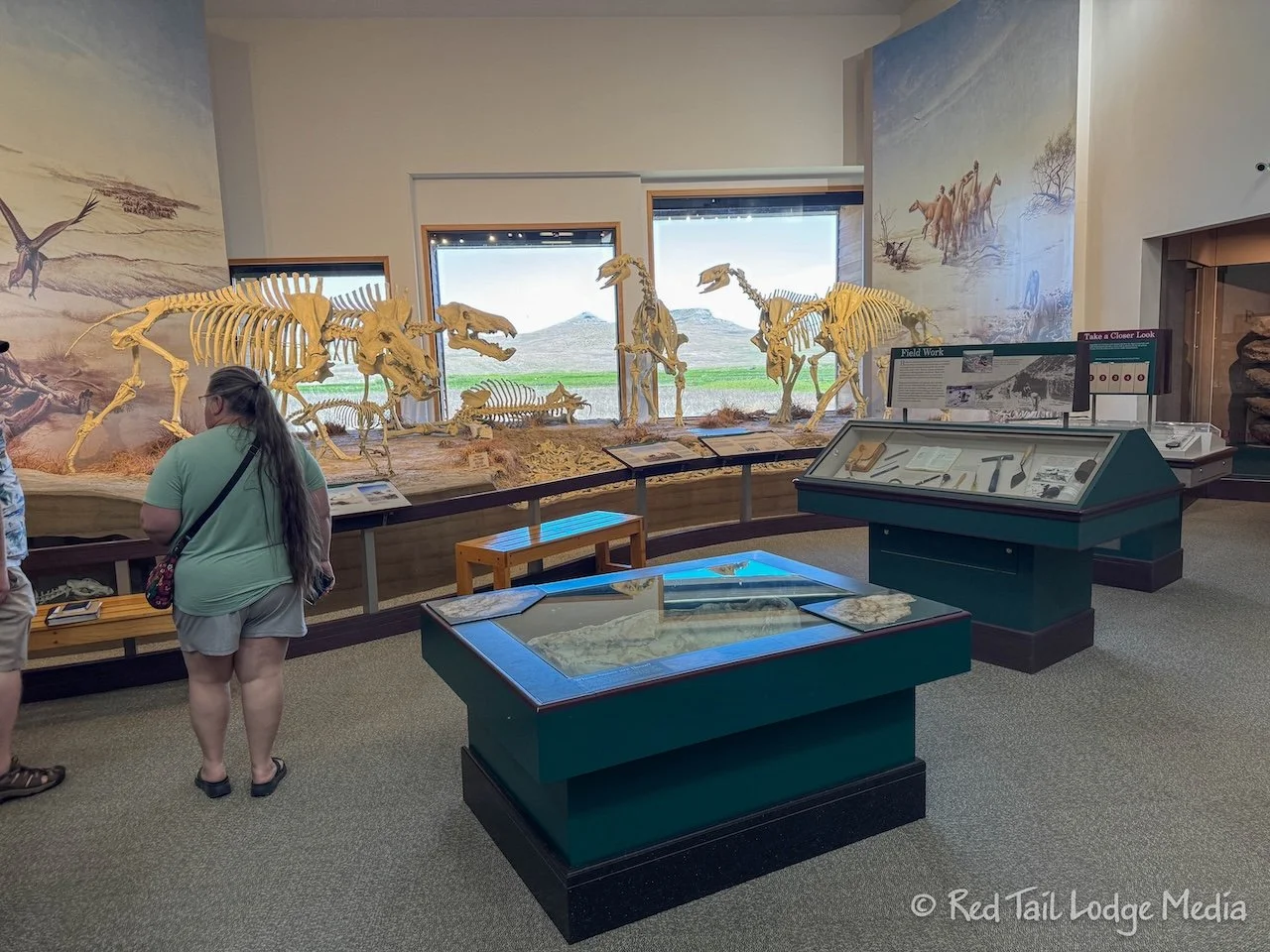
The visitor center has a short film along with nice displays about the fossils and Miocene Mammals. However, the center also contains the James Cook Gallery, a collection of Lakota artifacts. The Cook family was close friends of the Lakota, including Red Cloud, the chief of the Oglala Lakota.
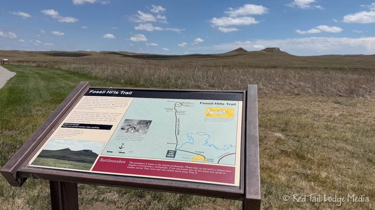
After watching the film and browsing the displays, we went on a couple of short hikes. There are only two trails in Agate Fossil Beds, the Fossil Hills Trail and the Daemonelix Trail. The Fossil Hills Trail is a paved three mile trail that starts from the visitor center. The trail leads up to Carnegie Hill and University Hill, with informational signs along the route, but there are no fossils on display. We completed the trail, with an elevation gain of 184 feet, in an hour and 15 minutes.
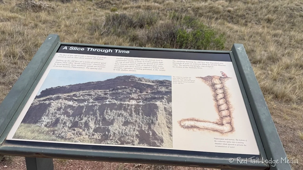
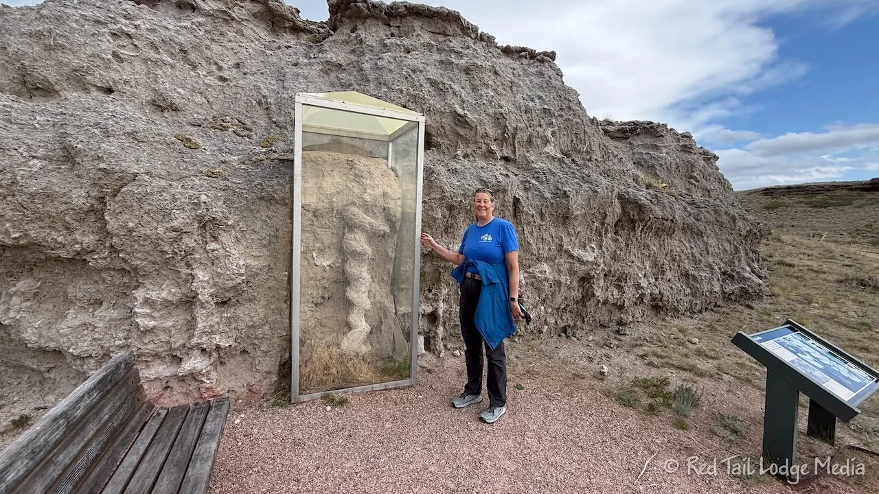
The Daemonelix Trail is a couple of miles down the road that we came in on. The trail is only a mile long, but has a couple of displays of Daemonelix fossils, or Devil’s Corkscrew. The corkscrew fossils were originally believed to be the tap roots of ancient plants, but they now believe they are the burrows of the Paleocastor, as they have found skeletons inside some of the burrows.
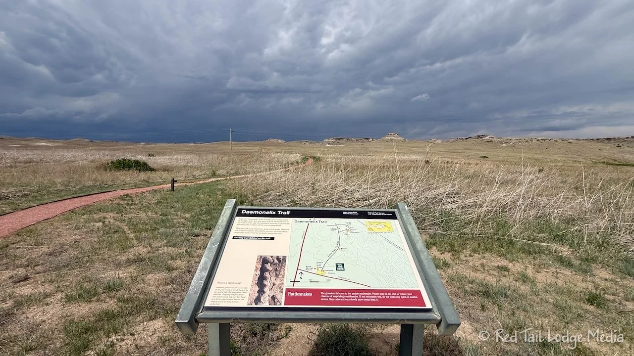
A severe thunderstorm was approaching as we reached the Daemonelix Trailhead. We checked the radar to see if we could get the one mile hike in before the storm hit. We decided we could, so we didn’t dawdle along the trail. It took us 22 minutes, including the time we stopped to look at the fossils, to cover the 1.1 miles with an elevation gain of 138 feet. As we were making our way back to the trailhead, we started to hear the rumbling of thunder.
We combined both trails to count as hike 7 for our 52 Hike Challenge for 2026. Our totals were 4.1 miles with an elevation gain of 422 feet which we completed in one hour and 37 minutes.
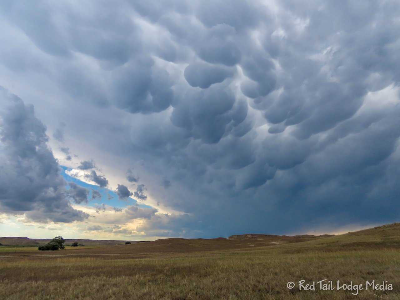
The storm was to the north of us, which meant we would be driving through it if we went back to Chadron the way we came. So we decided to take a southern route back to hopefully avoid the worst of the storm. However, it wasn’t until we were about 15 or 20 minutes on our way before we realized we would be turning onto an unpaved road for almost seven miles. What clued us into the road being unpaved was the name of it, “Cut Across Road”. We’ve been traveling long enough to know that the name might signal trouble. We continued on our chosen route anyway.
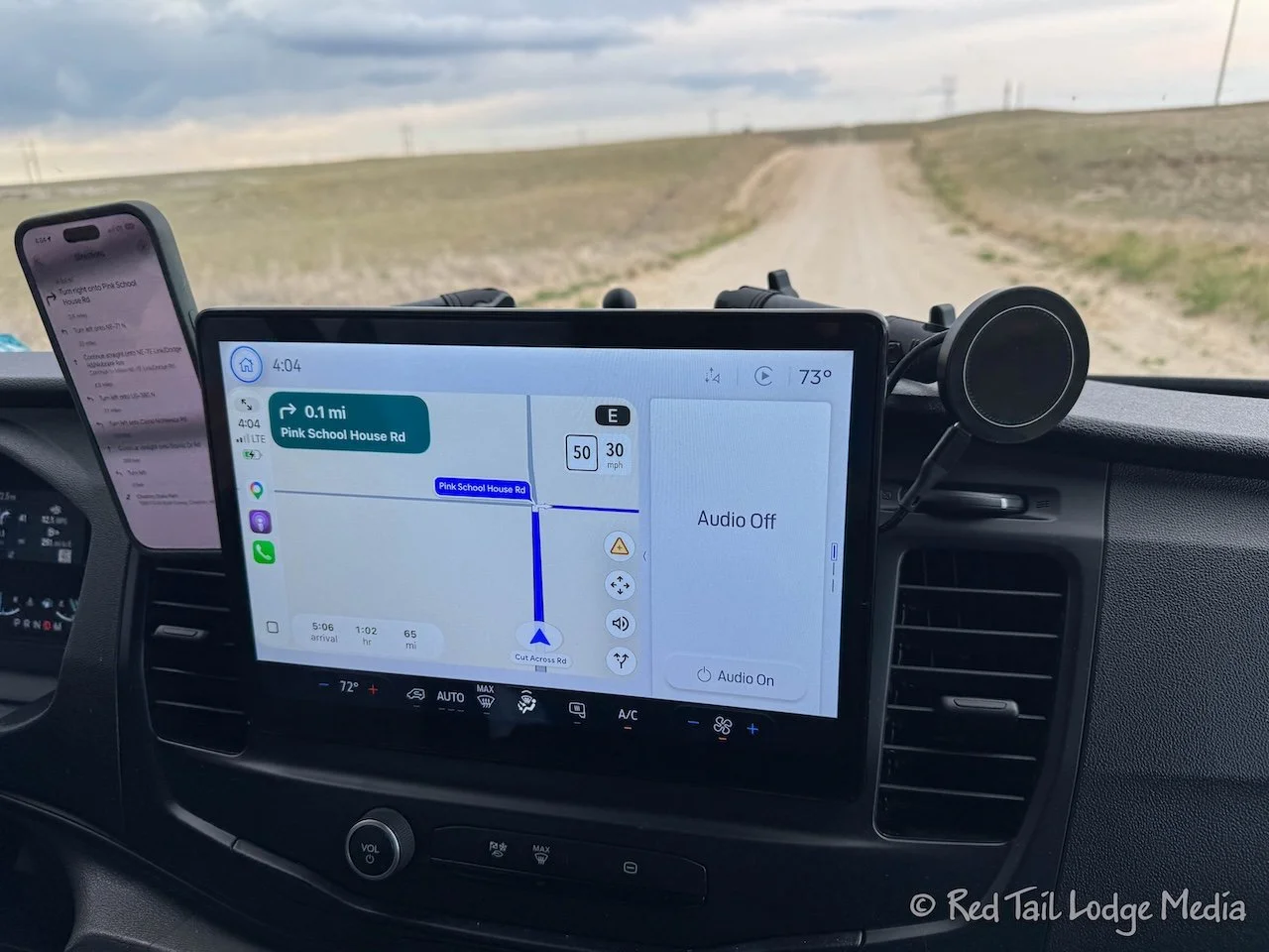
The Cut Across Road had a little bit of a washboard, but not too bad. We were able to maintain 35 mph somewhat comfortably. After about six miles, we turned onto Pink School House Road, another unpaved road. After about half a mile, we then returned to pavement on route 71. Yes, a number instead of a colorful name for a road usually indicates pavement.
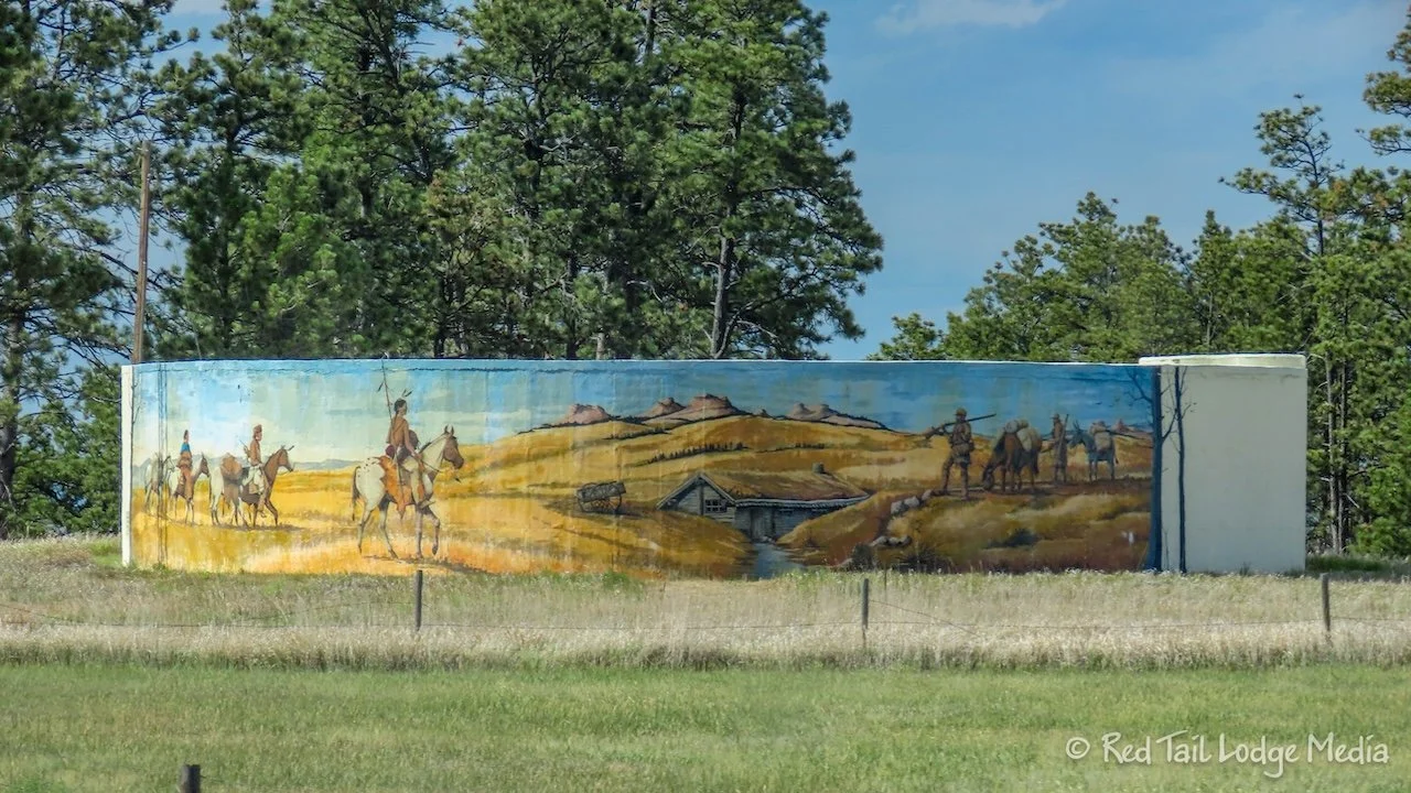
The southern route we took was not that much longer than the northern route we took that morning. And we managed to get around the storm. Yay!
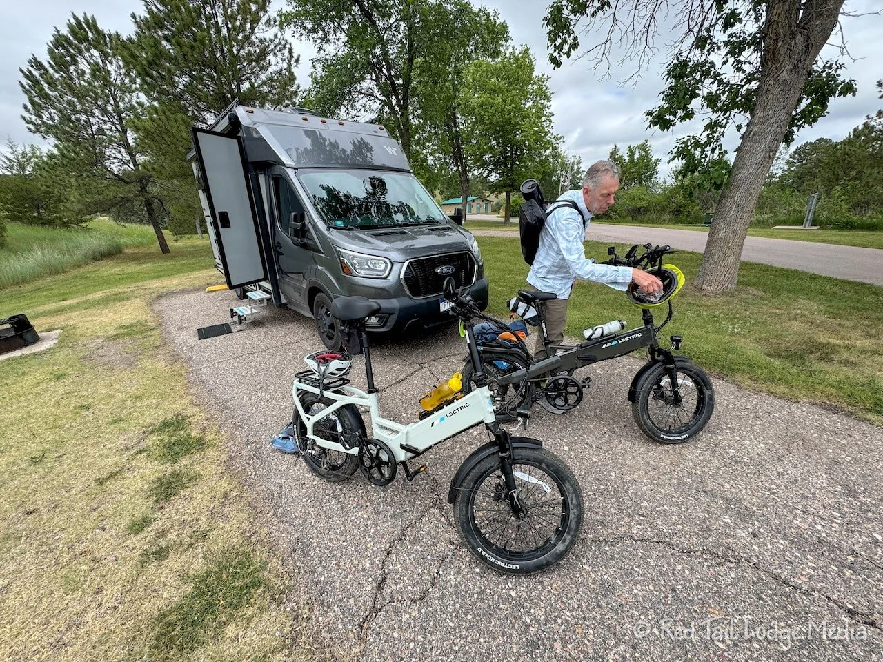
Tuesday, we got the bikes out. We rode them around the state park. Keith took his archery equipment with him so he could stop by the outdoor archery range.
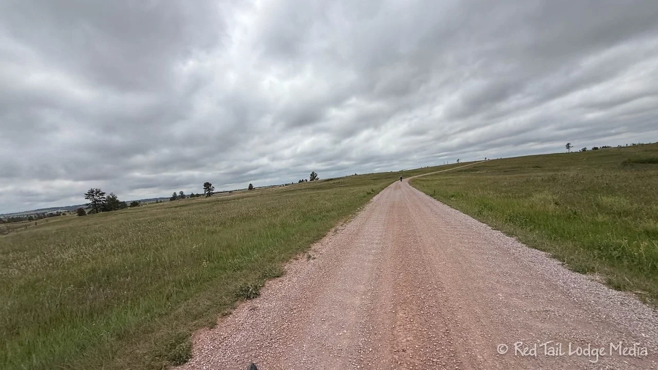
The main road through the park makes a large loop, with a spur that goes up to the Blackhills Overlook. The main road is paved, but the spur is gravel. We were able to find a path either down the middle of the road or off to one side that avoided most of the washboarding of the unpaved road. The washboarding was not that bad and any vehicle should have no problems driving up to the overlook.
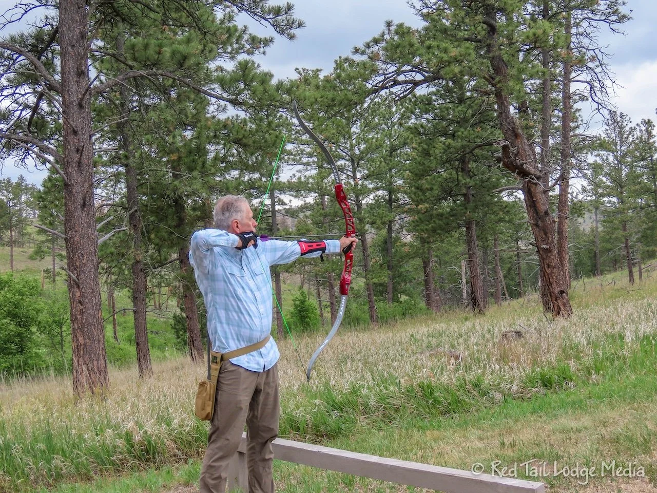
At the archery range, Ann watched Keith shoot a few rounds before leaving him there and heading back to the campground. Keith started at the practice range, where you could moved the target anywhere from 10 feet to 60 yards away. He tried all the positions and determined that 60 yards is outside his range.
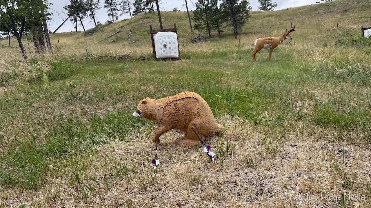
Then he moved around to the other targets. Unlike the practice range, the other targets were uphill from where you stood to shoot. That was a different experience for Keith because he has only shot at targets on level ground before. At each target, you had a choice of shooting at a hay bale target or an animal target, such as a deer or turkey. There was even a skunk target. We’re not sure why you would ever want to shoot at a skunk. That just seems like asking for trouble. Of course, shooting a fake skunk is not an issue. Keith tried most of the animal targets and found it a nice change from just plain targets. The animal targets were some type of spongy rubber or foam that allowed the arrows to stick, but pull back out easily.
By the time Ann returned to the campground, she had covered 7.3 miles with an elevation gain of 717 feet which she completed in about an hour and 20 minutes elapsed time. It was a nice, relaxing way to end our time at Chadron.
We don’t travel fast, preferring to explore the areas we pass through. So far, we were enjoying ourselves, working in quite a few sights. One destination down, two more to go before we reach Chicago.
Check out our related video: Chadron State Park, Nebraska
(Ann)