
Route 66: Chicago to Springfield, Illinois - July 6th to 9th, 2026
Route 66 is a historic route from Chicago, Illinois to Santa Monica, California. Our first segment of Route 66 was from Chicago, Illinois to Springfield, Illinois. It was our first taste of traveling on the Mother Road. We then spent four nights camping in Sangchris Lake State Park, so we could take our time to check out the Springfield area.
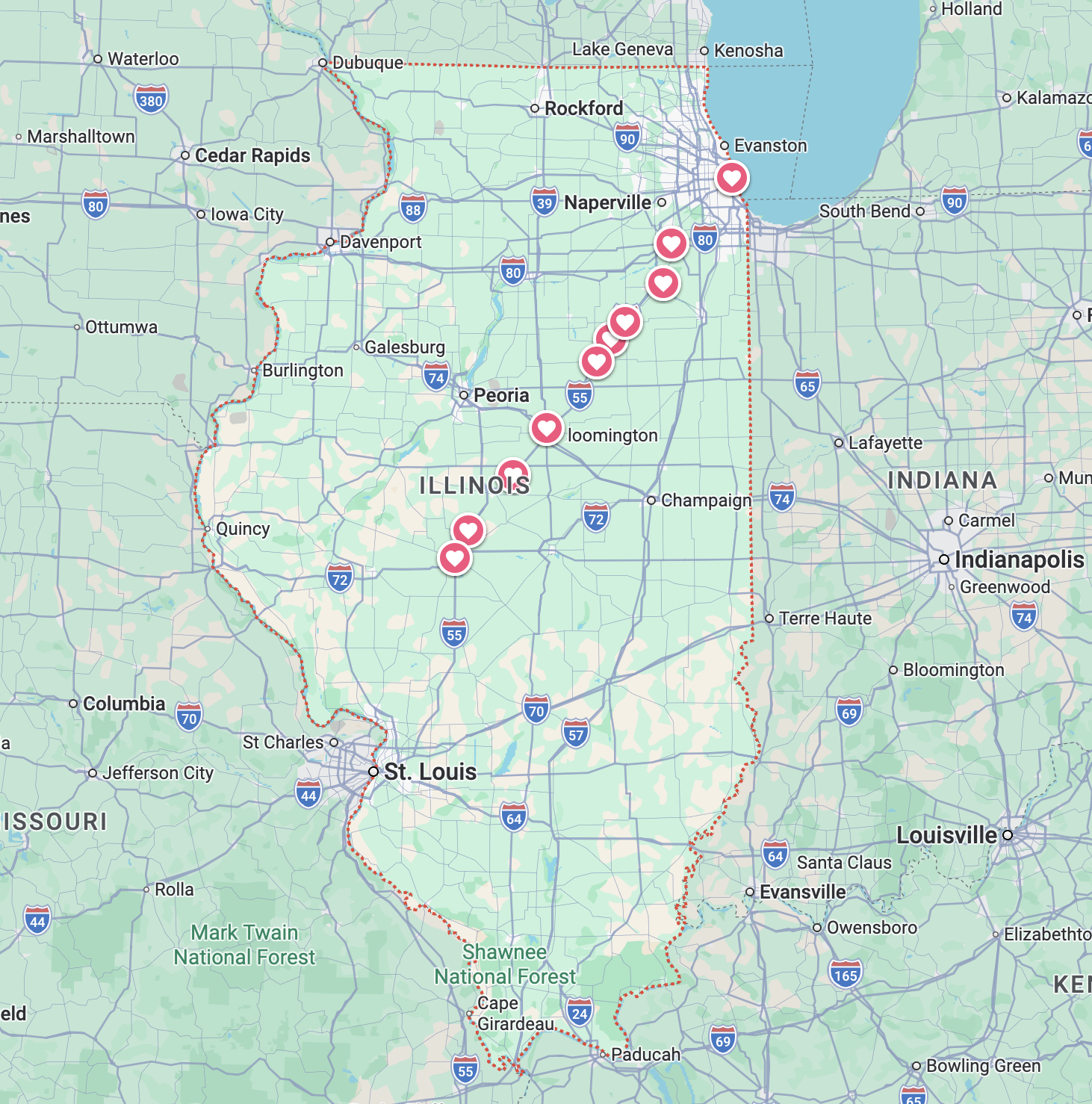
Monday, the first day on Route 66 was a little rough. We totally underestimated the amount of time it would take to drive the route. Plus we were trying to learn to use a new navigation app, the Route 66 Navigation phone app.
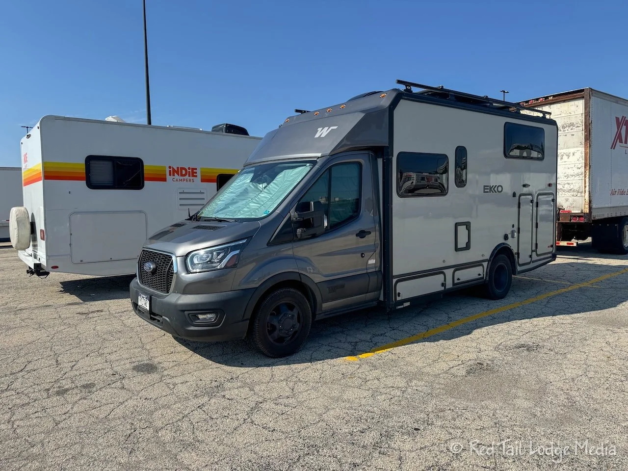
The day started out pretty smoothly. We got up around 7 am, ate breakfast, and checked out of the hotel at McCormick Place in Chicago around 8:45 am. It took us about half an hour to walk to Red Tail (our Winnebago EKKO), which was parked in the Truck Marshalling lot. We were glad to see our RV had survived the past four days without us. We took down the window shades, closed the window that we had left cracked open, and turned off the ceiling fan. It actually was a pretty comfortable temperature inside, 78 degrees, while the outside temp was 72. We walked around the rig checking for anything out of the ordinary. The tires looked good. All the windows were closed. No visible signs of any damage anywhere. So we hopped in and hit the road just a little after 9:30 am.
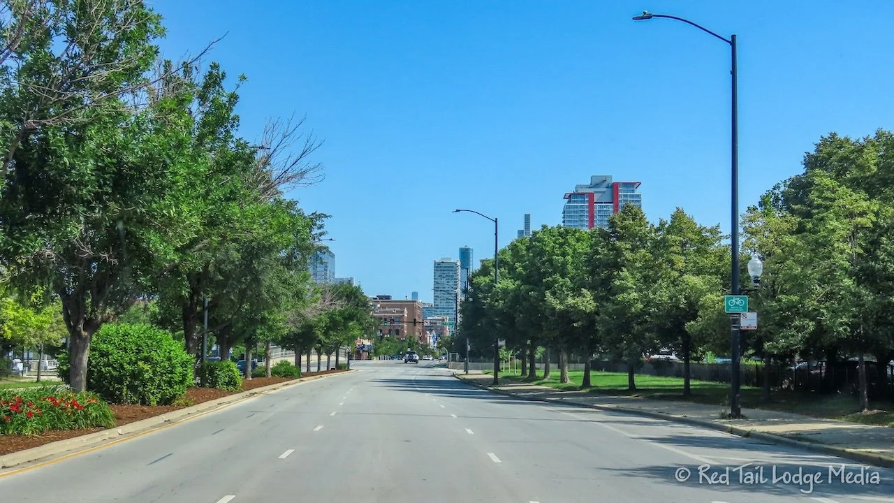
Both Google Maps and the Route 66 app wanted to take us on route 41 to get up to the start of Route 66 at the corner of Adams and Michigan. Looking at the map, it looked like it would be easier to take 31st Street over to Michigan, which would then take us straight to Adams Street. We were concerned about heavy traffic, so we felt the less turns the better.
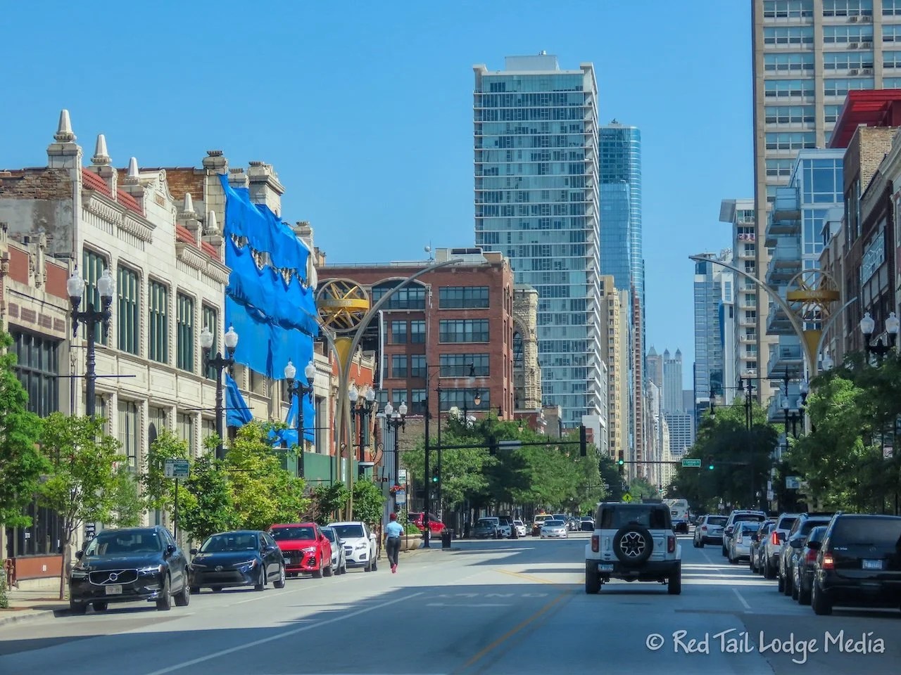
So that’s the way we went. Well, that’s the way we attempted to go. At the turn onto Michigan, there was a little entrance ramp that you had to take at Indiana, the block before, that we missed. At the actual crossing of Michigan, right turns were not allowed. So we continued straight, turning right on State Street, then taking 29th Street back over to Michigan. Looking at the map later, we realized the weird arrangement at 31st and Michigan was due to Michigan being a one way street south of 31st and Indiana being one way in the opposite direction south of 31st. No harm done.
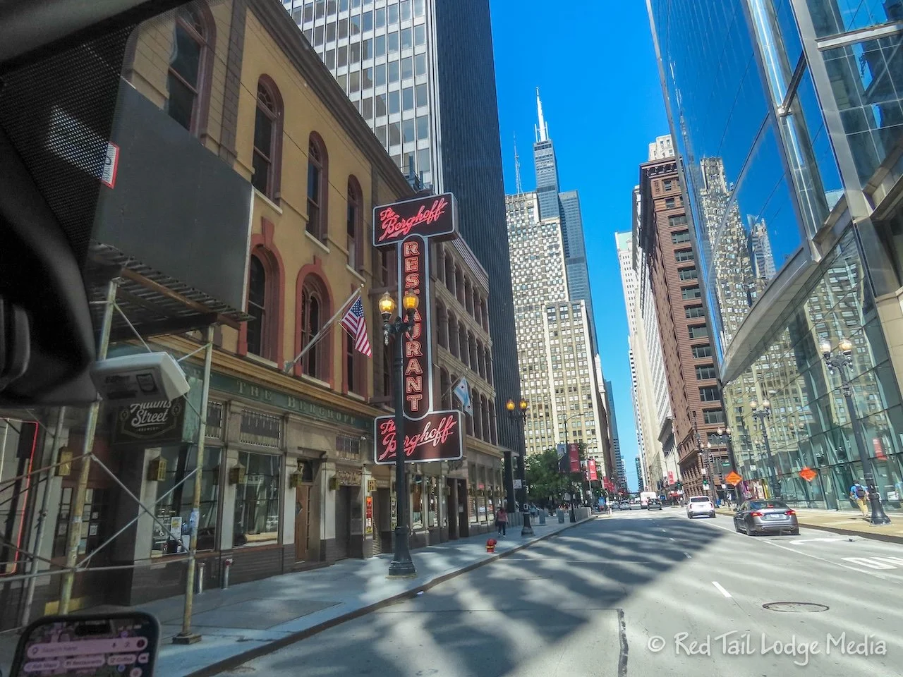
The traffic turned out not to be a problem at all. However, once we turned onto Adams and started Route 66, Ann started getting a little stressed. She was trying to help Keith navigate while also trying to look for landmarks or other interesting things to take pictures or videos of as we drove past them. And the Route 66 app was freezing and not showing the map. She was trying to get the Route 66 app to work and brought up Google Maps on her phone as a backup.
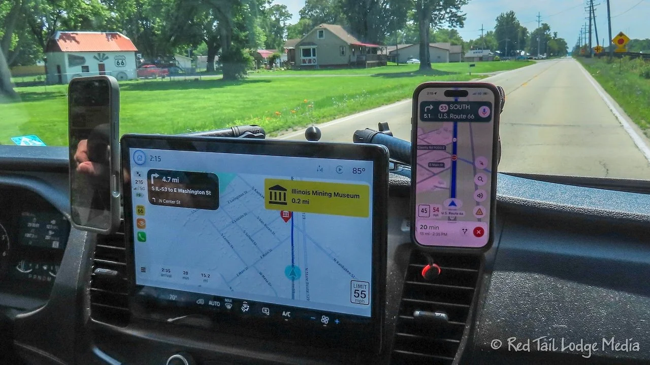
She finally got the Route 66 app working, but missed some things she wanted to take pictures of. Landmarks were shown in red circles on the app, but not much of the app was on the screen, so there wasn’t much warning. The app also didn’t show what the landmarks were until we were almost on top of them. That really didn’t allow much time for Ann to get her camera ready or turn on the GoPro. She was getting a little frustrated.
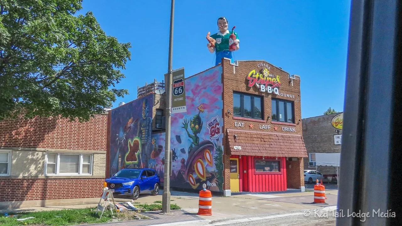
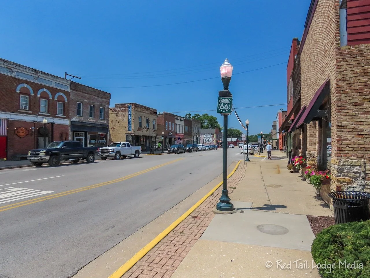
Ann did manage to get a picture of the muffler man on top of Cigars and Stripes BBQ. She also took another picture of Lu Lu’s Hot Dogs as we drove by. As she was doing that, she caught a glimpse of a Route 66 mural behind Lu Lu’s. How did we miss that when we walked by there the day before? Apparently we didn’t look behind us as we walked past. Bummer!
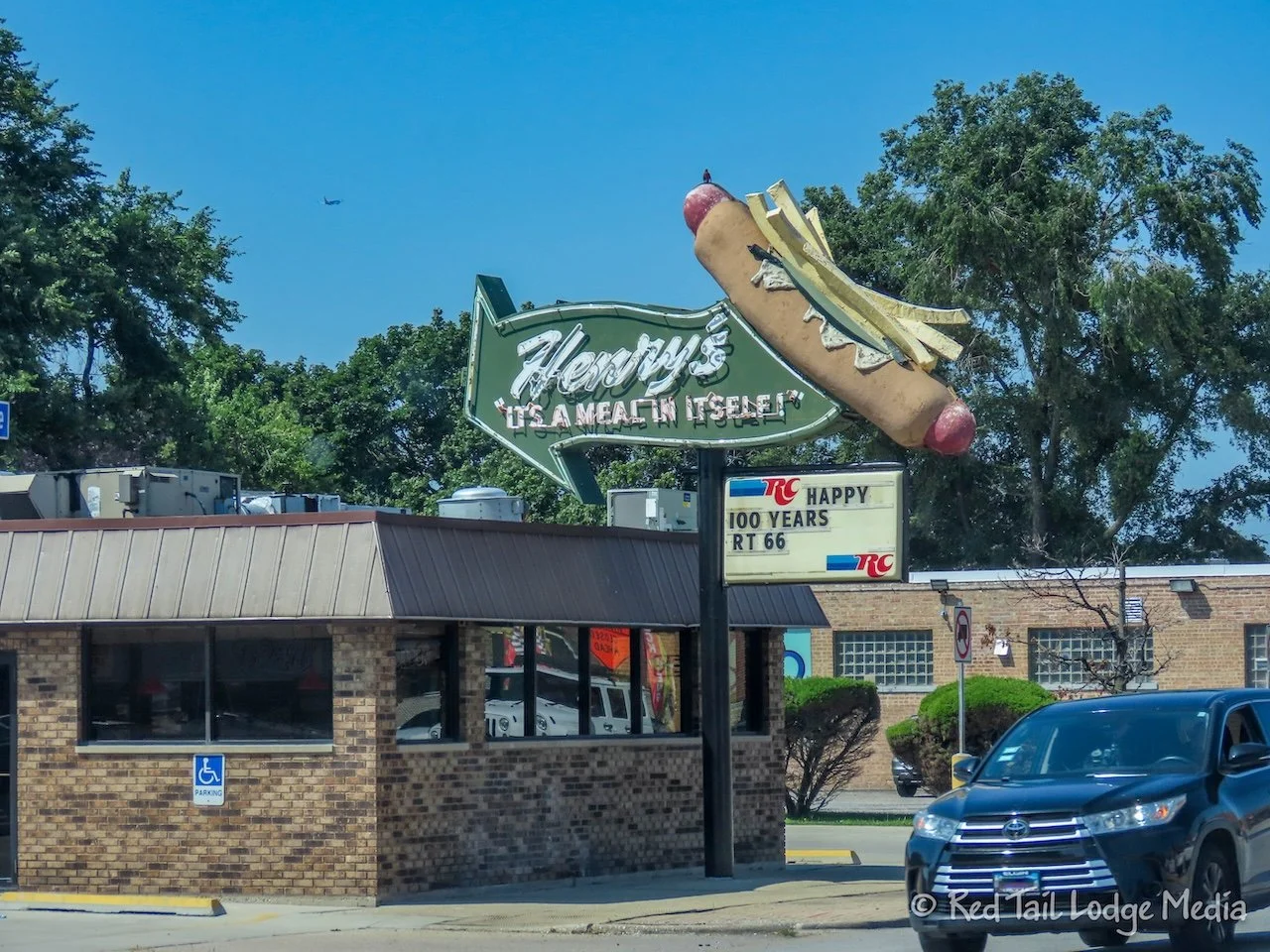
Ann started to relax a little more once she accepted the fact that she wasn’t going to be able to capture everything we drove past. So she just captured what she could and we stopped for the highlights.
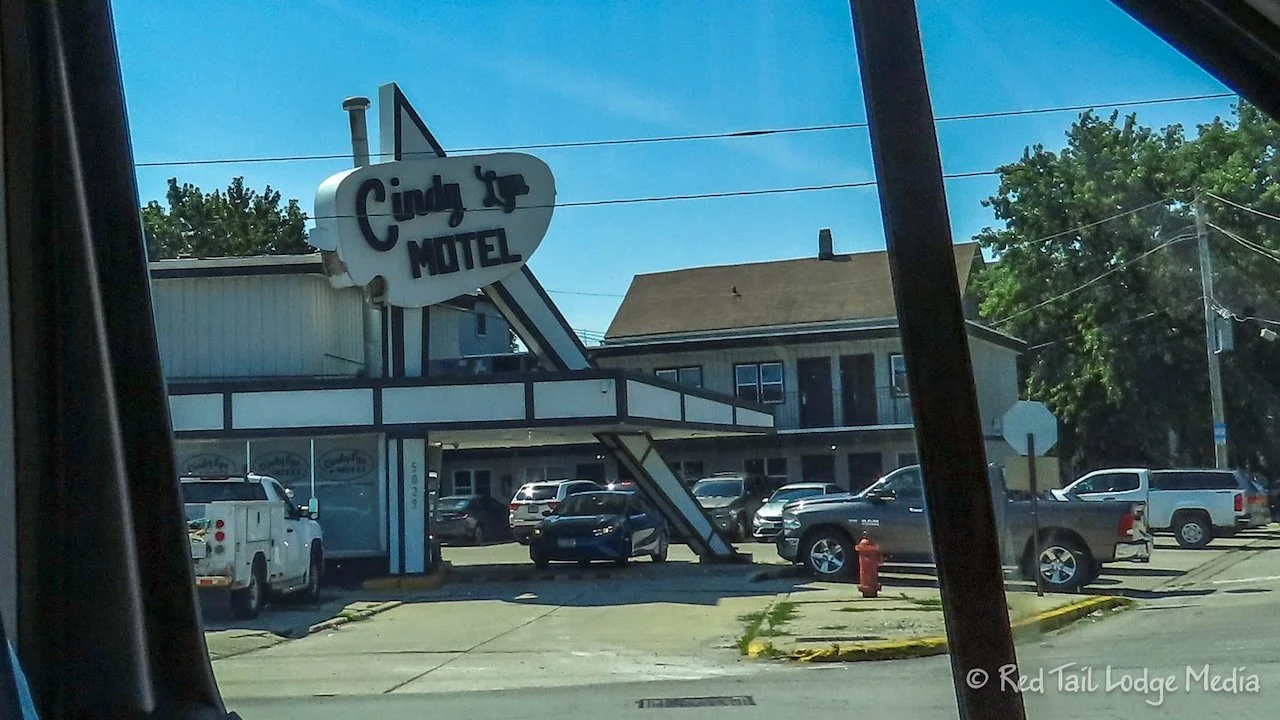
We also started figuring out the Route 66 app a little better. The map was not the best place to find the different points of interest. In the map view, you had to click on a symbol on the map to see what the point of interest was. However, once you closed the popup, the map would return to your current location, not back to where you clicked. There was another view, called Places to Visit, which listed the points of interest in order from Chicago to Santa Monica, grouped by state and city. This would give you detailed information along with showing you where it was on a map, but not how it related to the Route 66.
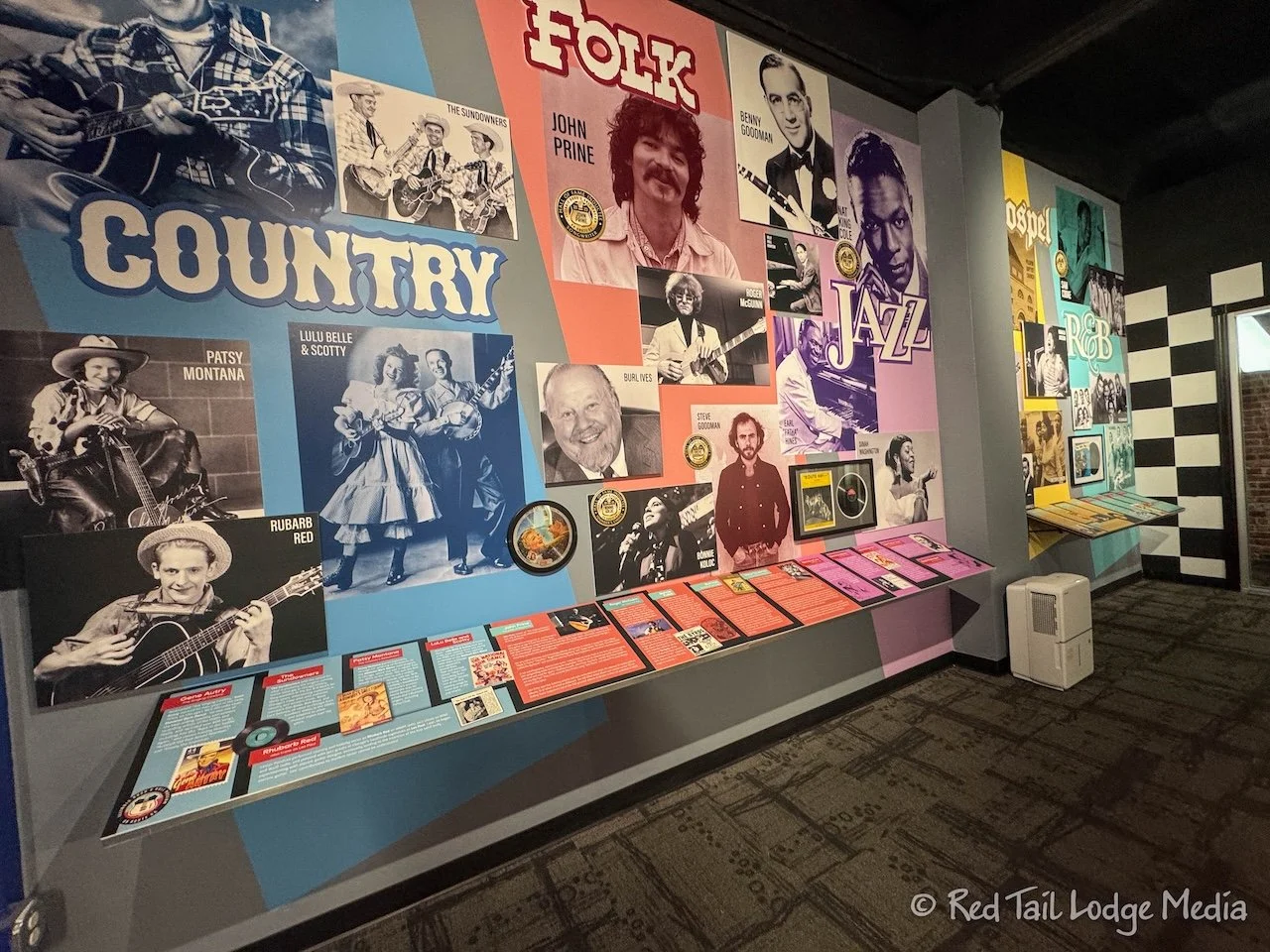
Our first stop was at the Illinois Rock & Roll Museum on Route 66 in Joliet. We had purchased the Route 66 Passport online before we left home, so we wanted to stop at all of the places to get our stamp. The Rock & Roll Museum was the first place to get a stamp.
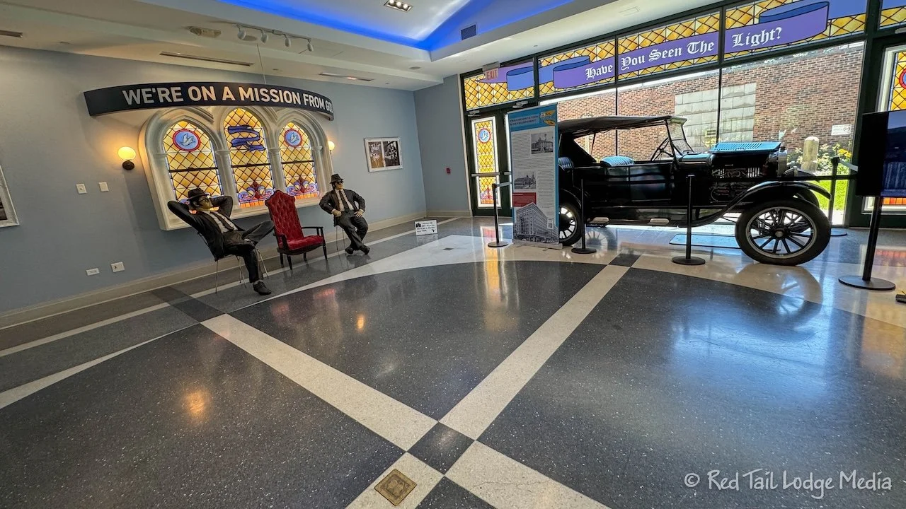
We initially walked into the Joliet Area Historical Museum which faces Ottawa St. It has a free small Route 66 Museum on the first floor, but you had to pay to go into the museum about Joliet. This was not the Rock & Roll Museum. It was around the corner, facing Cass Street. Its façade was under scaffolding, as it was under renovations, but the first floor of the museum was open.
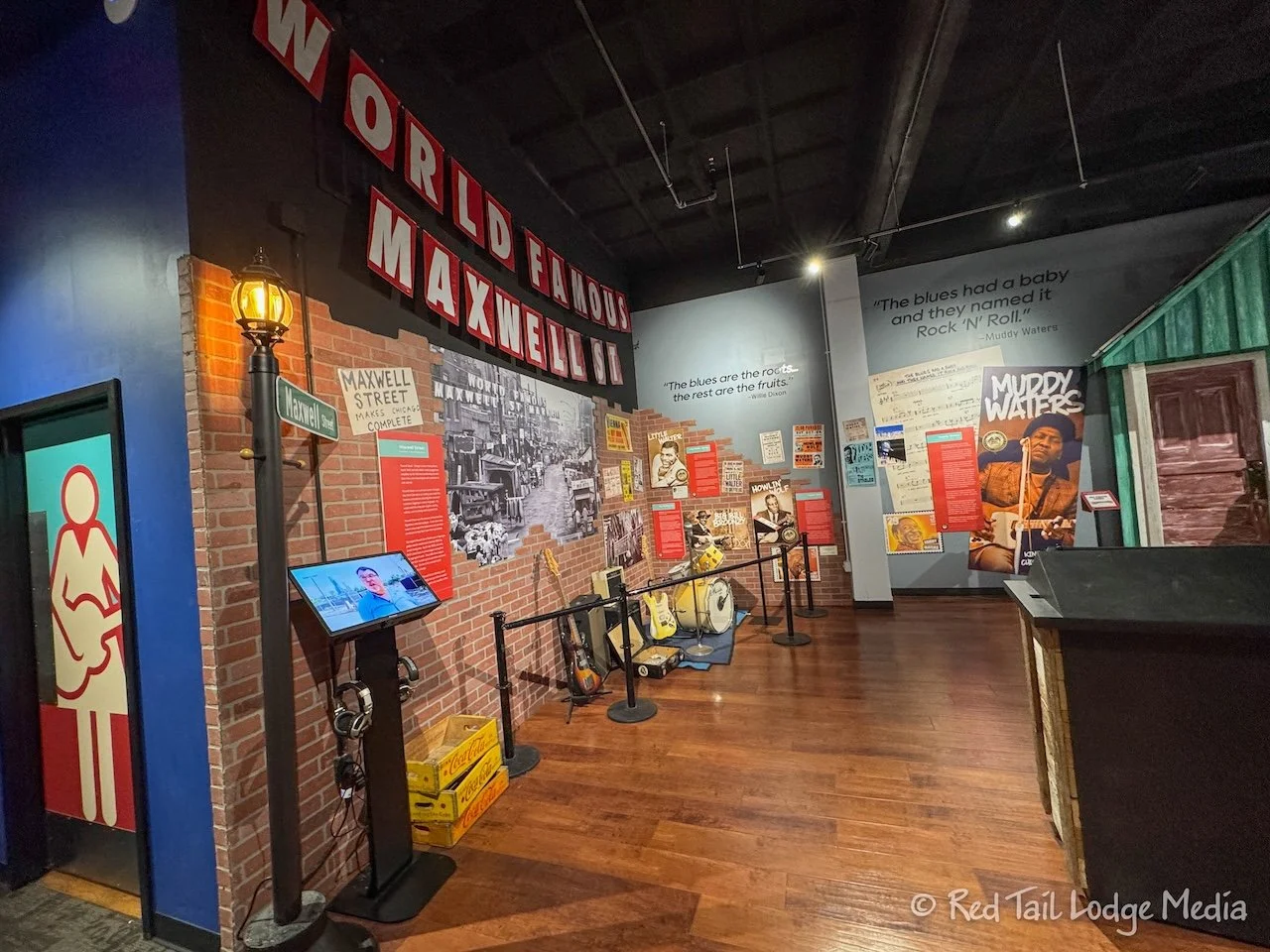
At the Rock & Roll Museum, we got our passport stamp along with a Rock & Roll Museum magnet. Too bad the fridge door in Red Tail is not metal.
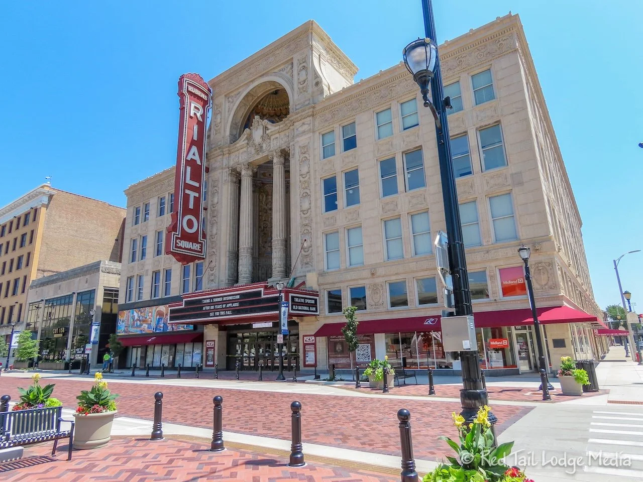
After a quick browse through the museum, we walked a few blocks around town, including the Rialto Square Theater. We’re not big fans of museums, especially ones that have a lot of informational signs to read. The Rialto Square Theater was opened in 1926 as a vaudeville movie palace.
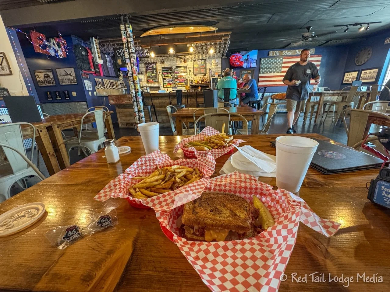
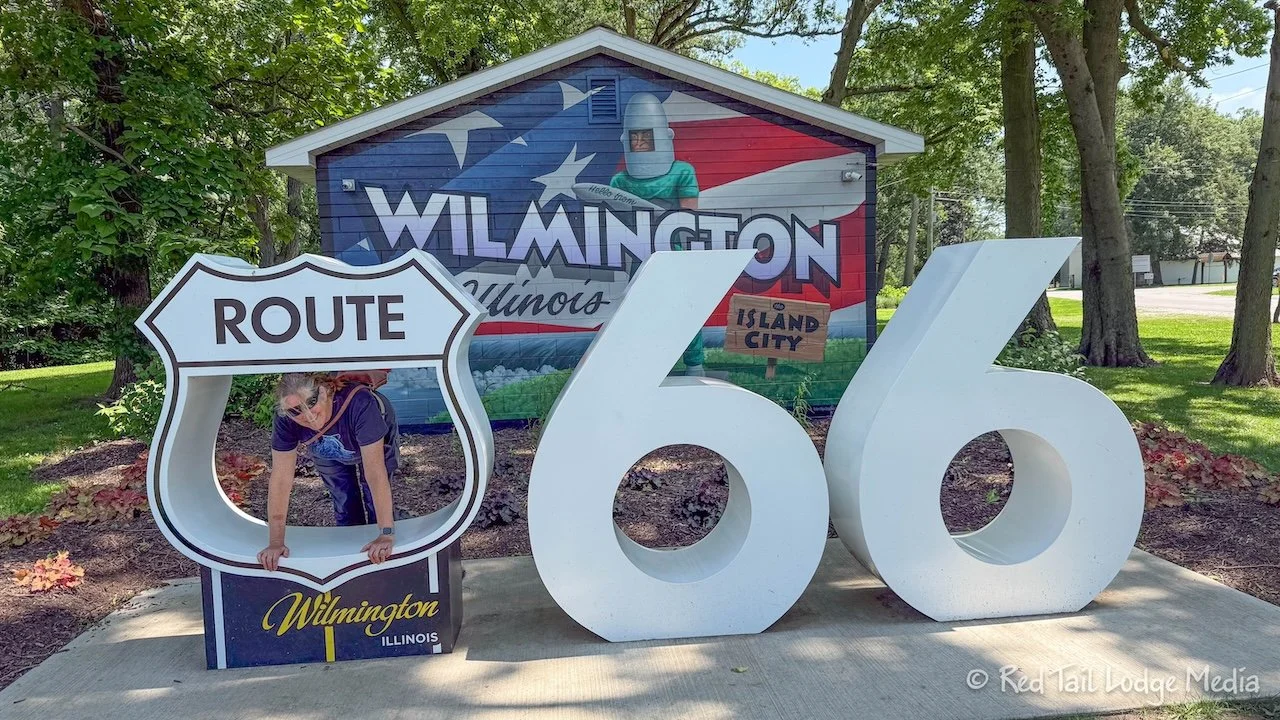
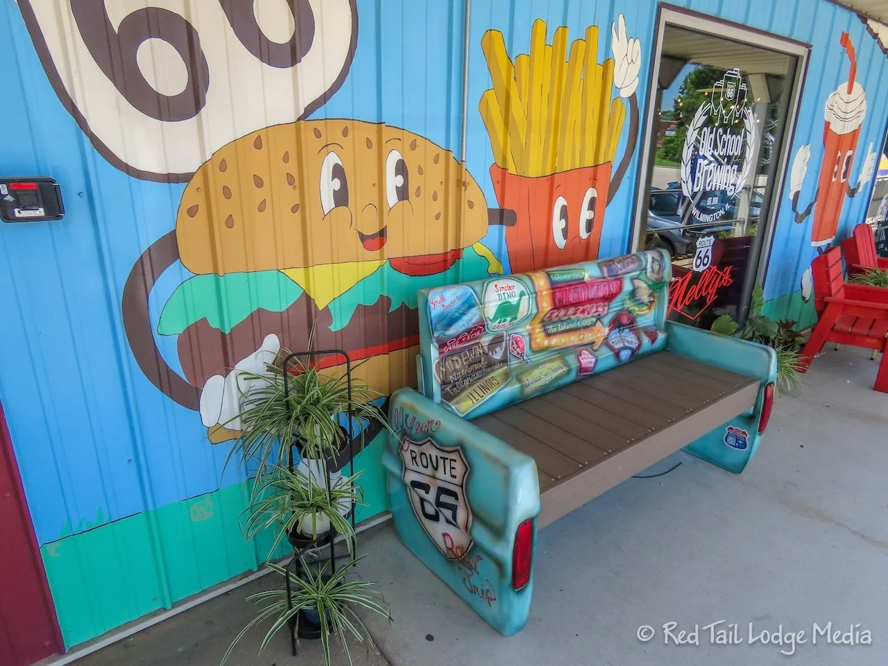
It was getting close to lunch time, so our next stop was at Nelly’s Cafe in Wilmington. Keith had another Chicago dog, while Ann opted for the reuben sandwich, both with fries. Keith thought Nelly’s Chicago dog was much better than the one he got from AD&B on Navy Pier in Chicago, but still not quite as good as Portillo’s (https://www.redtaillodge.com/blog/chicago-illinois-july-2nd-to-5th-2026). Nelly’s reuben was a little different in that they substituted grilled onions for the traditional sauerkraut. Their corned beef was wonderful, but Ann still prefers a traditional reuben as she is a big fan of sauerkraut. We both appreciated that Nelly’s had malt vinegar for their fries, making them extra tasty.
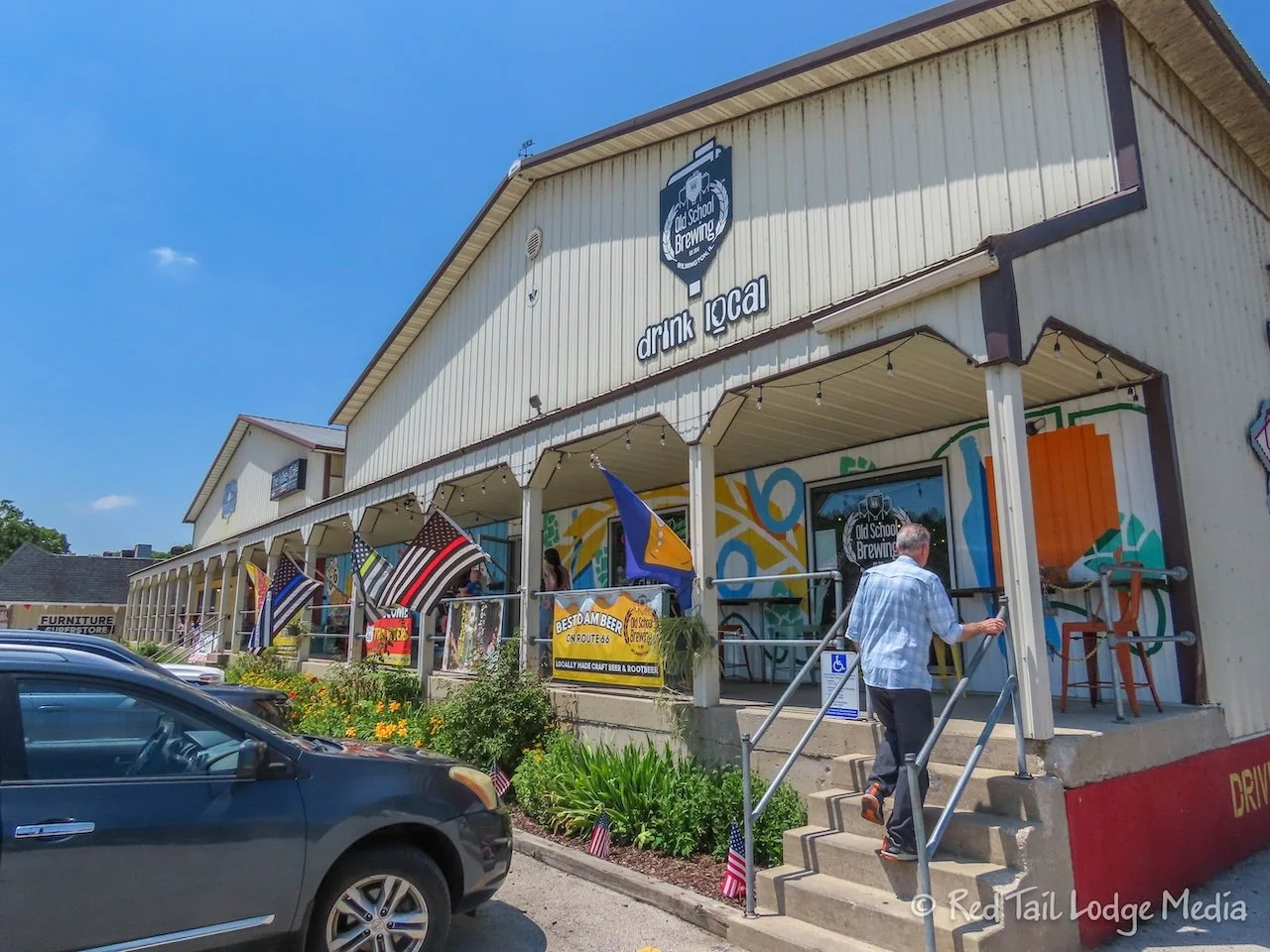
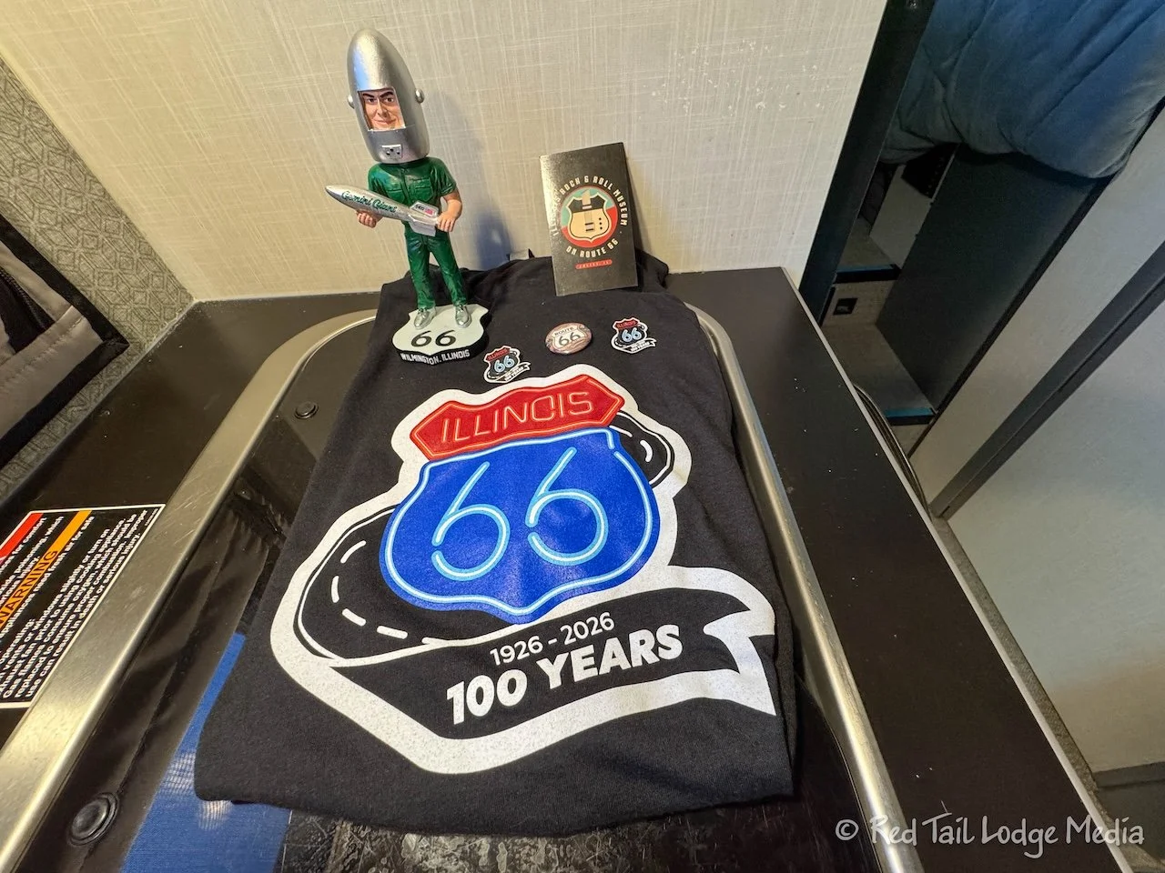
Housed in the same building as Nelly’s Cafe is Old School Brewing. Keith tasted a couple of their beers (just a few sips as he still had more driving to do). He settled on their Gemini’s Re Entry, a golden ale. He bought a four pack to go. The bartender graciously gave us two Illinois 66 100 Years pins.
The name of the beer is a reference to the Gemini Giant, an iconic Muffler Man statue which sits just a block away. After lunch, we walked over to check it out, then went into the gift shop. Keith insisted on getting a Gemini Giant bobble head while Ann purchased a Route 66 t-shirt. Then we walked up and down Water Street to stretch our legs some more before getting back on the road.
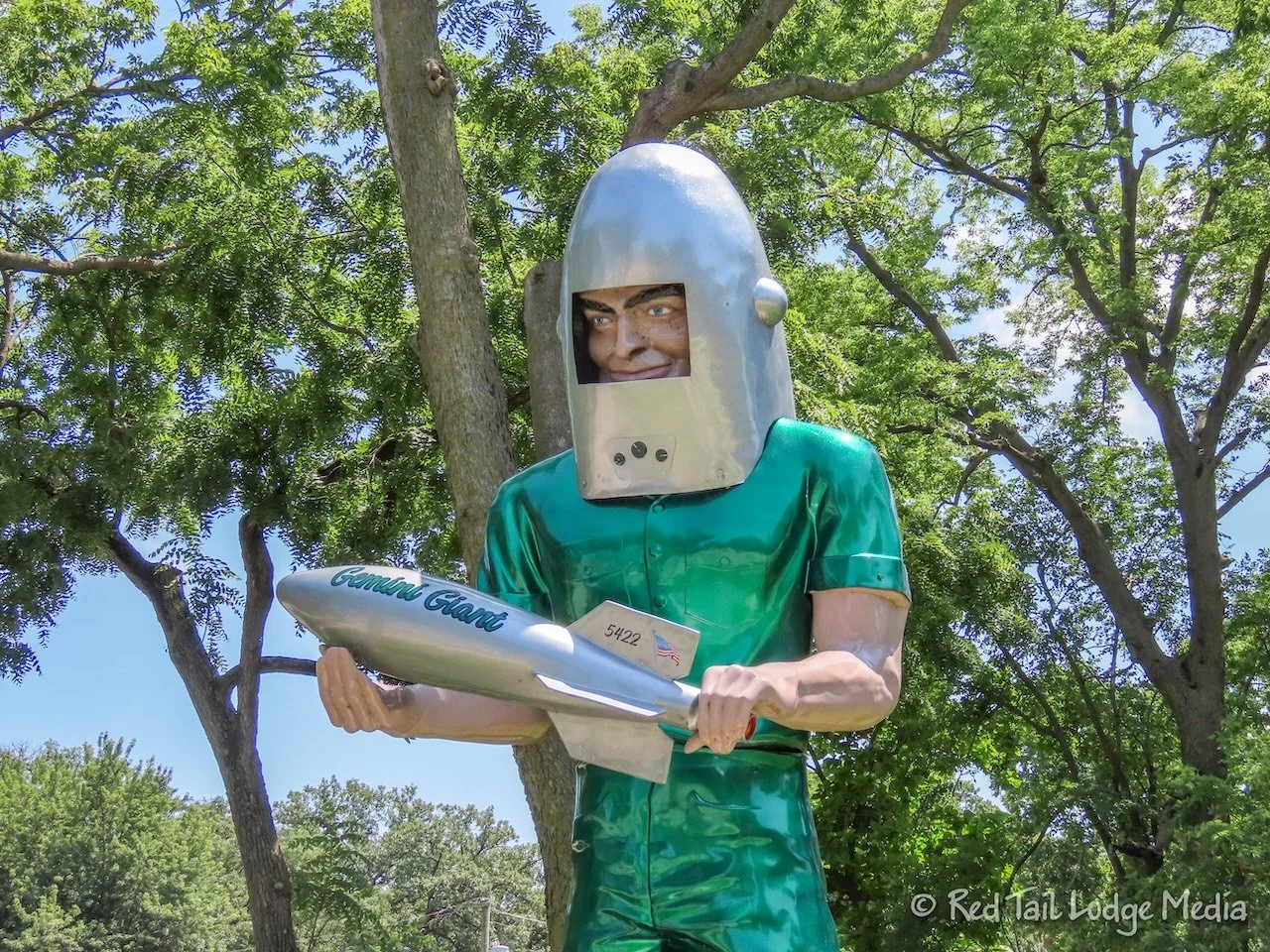
Initially, Ann planned on getting a selfie in front of the Gemini Giant, but then forgot. She was still trying to find her groove on Route 66, as it was a little different than we normally travel.
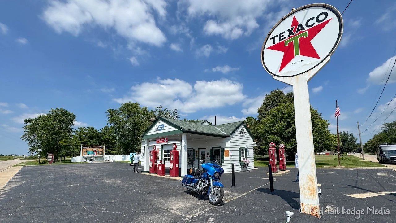
Next, we made a quick stop at the Ambler-Becker Station in Dwight, built in 1933. This was one of the Passport stops, but they were closed, so we couldn’t get our stamp. It is a cute, old gas station and made a great photo op. And you could peer into the windows, but we had to abandon our goal of getting all the stamps in our passport.
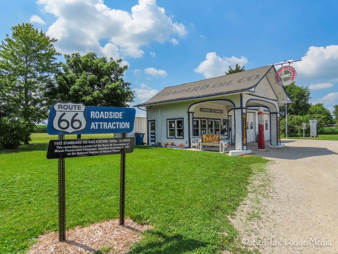
Not long after that, we stopped at the 1932 Standard Oil Gas Station in Odell. This station was open. Outside the station was a cute 1953 travel trailer. Inside was all kinds of memorabilia. There were no signs explaining what everything was, but somehow we like it better that way. Some things we recognized from our childhood. Other things we tried figuring out what they were.
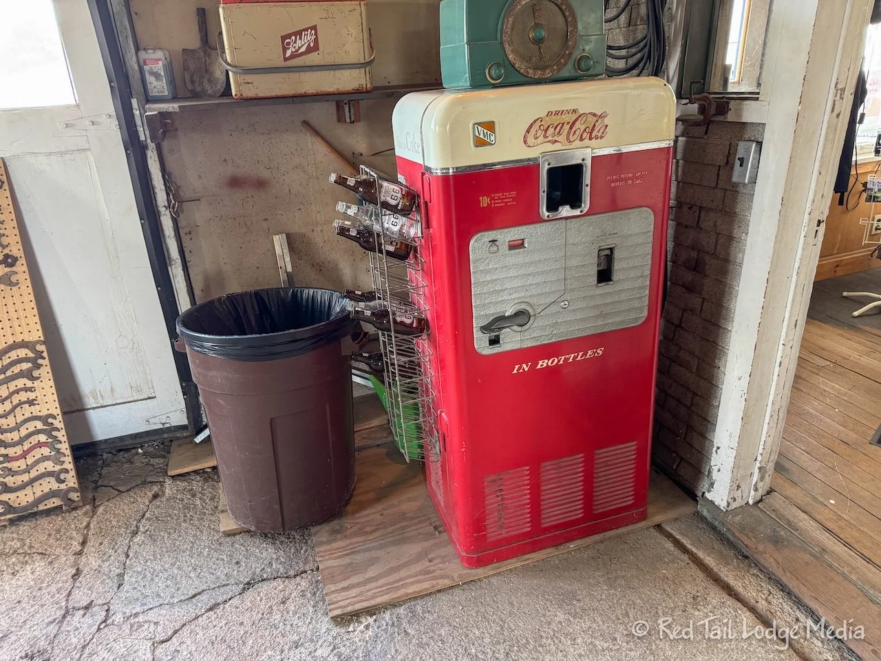
The gift shop was also selling cold bottles of Route 66 Soda, a company out of Mokena, Illinois. Keith bought a Black Cherry Soda while Ann chose the Root Beer. The person behind the counter said we could use the bottle opener on the old Coke vending machine to open our bottles. Heck yeah! Of course that is what we did. We are old enough to remember buying glass bottles out of vending machines and using the built in bottle opener. That brought back nice memories.
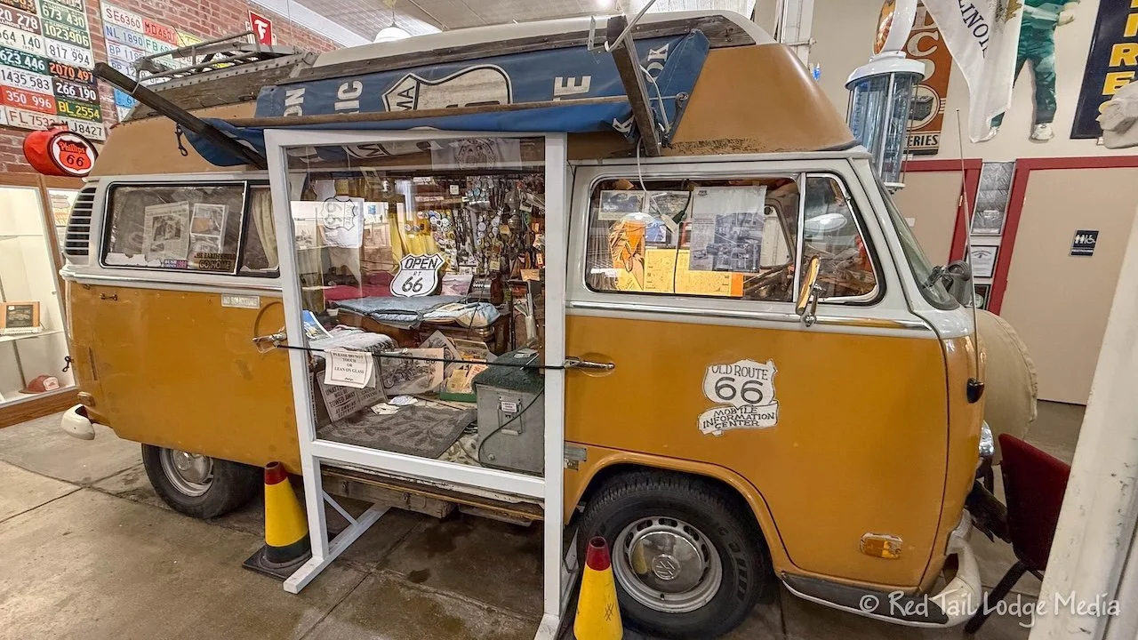
Our next stop was in Pontiac. The Illinois Route 66 Museum and Visitor Center was open, so we got another stamp in our passport along with a Route 66 Pontiac pin. Inside the museum was Bob Waldmire’s VW van. His school bus was also supposed to be outside the museum, but we didn’t see it. There was some construction going on in the area, so maybe it was temporarily moved. Bob Waldmire was an artist who is known for his Route 66 murals and maps and for his promotion of Route 66.
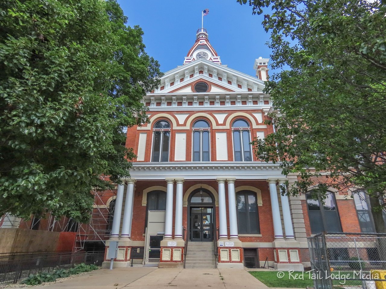
After a quick look around the museum, we wandered a few blocks around town, enjoying the murals and the beautiful Livingston County Clerk building. Unfortunately, most of the building was covered in scaffolding, but the parts we could see were gorgeous.
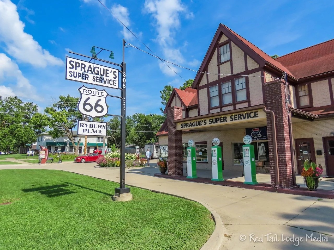
It was at this point that we realized how little progress we had made so far. We had only gone about 100 miles. We still had another 100 miles to go and it was already 3:45 pm. Our campground reservations were at Sangchris Lake State Park, about 25 minutes from Springfield. So we decided to just drive through Normal, Bloomington, and Lincoln, only quickly stopping to see the Sprague’s Super Service gas station in Normal, built in 1931. That meant missing three more passport stamps.
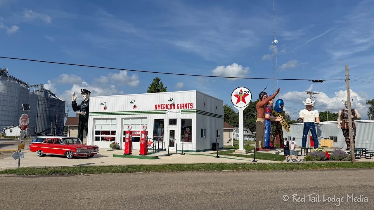
Our last stop along Route 66 for the day was in Atlanta to see the American Giants Museum and the Bunyan Giant. The giants were more Muffler Men statues. Chubby’s Bar & Grill was right across the street from the Giants Museum, so we went there for dinner.
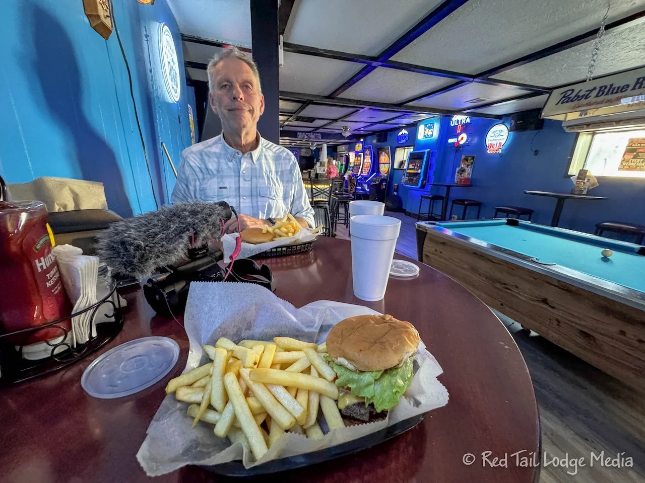
Keith had the patty melt while Ann ordered the cheeseburger. They were basic hamburgers fried on a flat top until crispy on the edges. They were served with basic French fries. Everything was made to order and served hot. Nothing particularly special, but a satisfying meal.
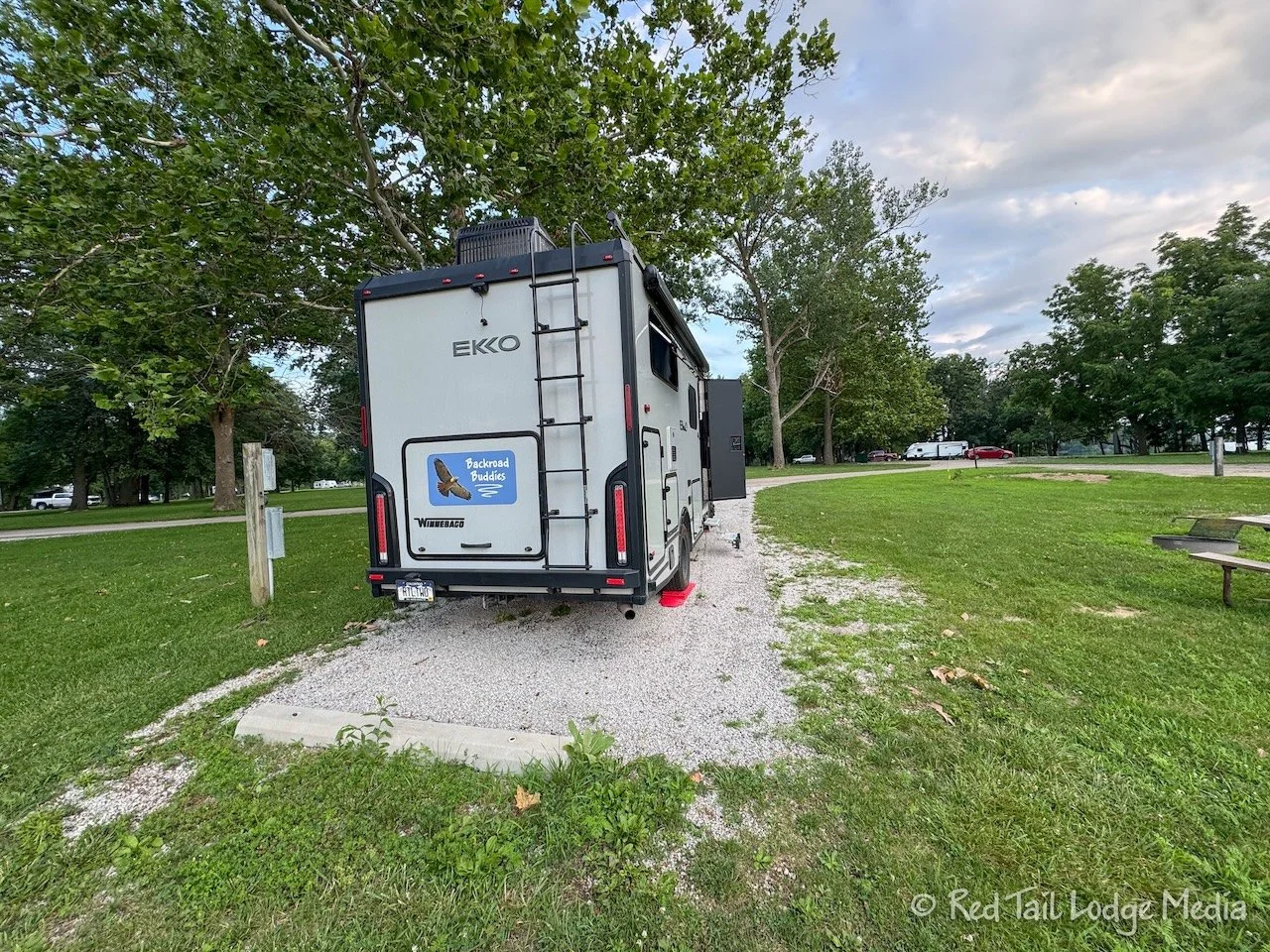
When we reached Williamsville, the last town before Springfield, we decided to get off of Route 66 and head directly to the campground. We’re staying at Sangchris Lake for four nights, so we’ll have time to explore Springfield over the next few days. By the time we rolled into the campground, it was about 7:45 pm, about 11 hours after leaving our hotel in Chicago that morning. That’s a long day!
According to the trip odometer on Red Tail, we drove 183 miles from Chicago to Williamsville, with a driving time (when Red Tail was actually moving) of five hours and 50 minutes. That’s an average speed of 31.4 mph. No wonder it took us all day.
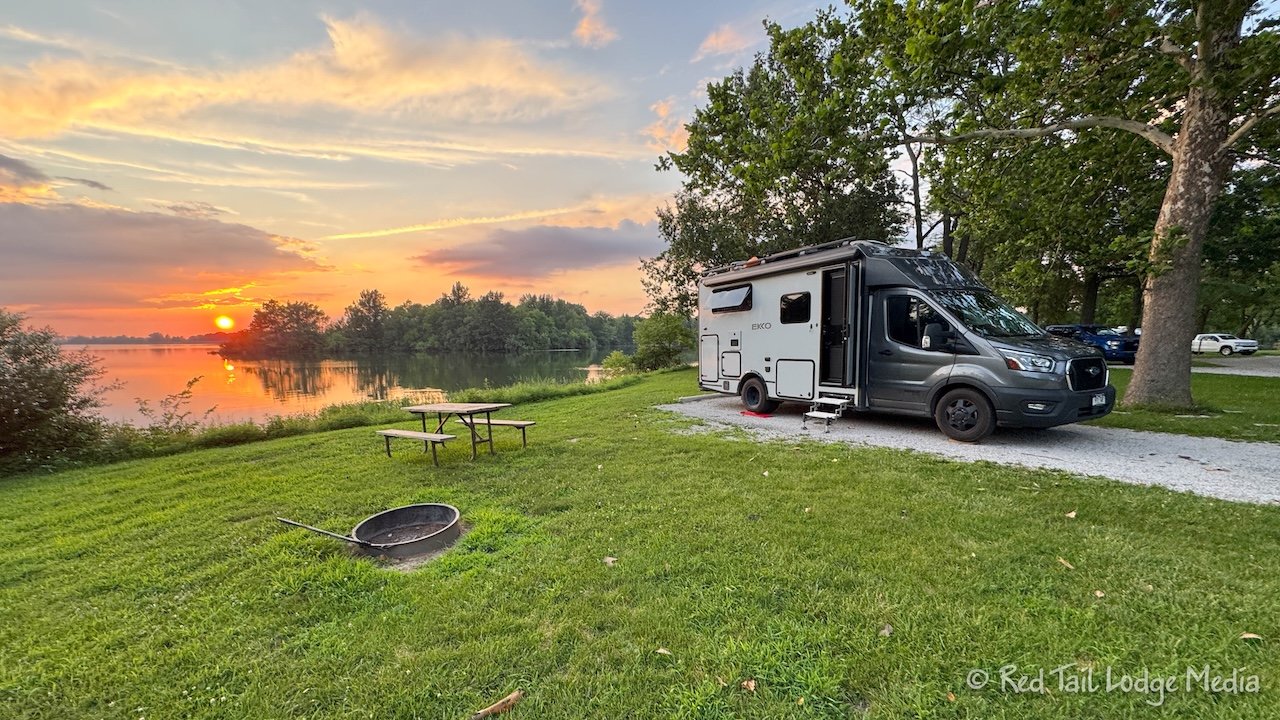
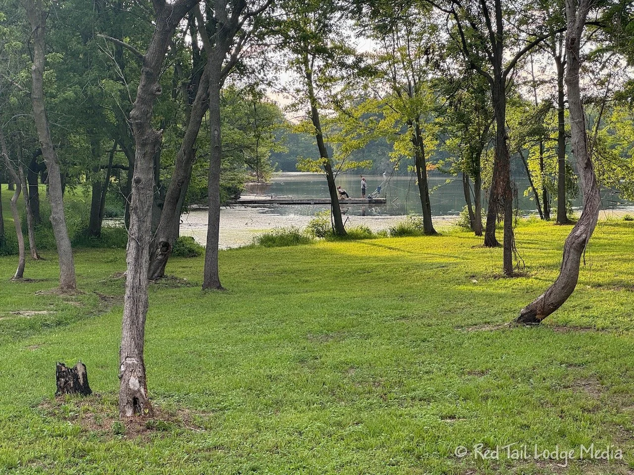
Our camp site had a wonderful view of the lake. However, we were both exhausted and didn’t sit outside to enjoy it. After setting up camp, Ann went for a walk around the campground loop to close her exercise ring. Then we both turned in for the night.
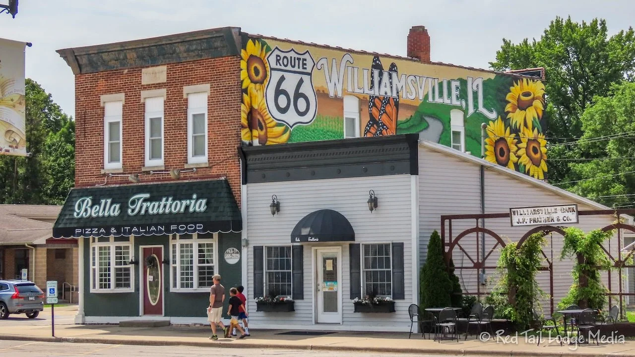
Tuesday, after a somewhat leisurely morning, we drove back up to Williamsville to pick up Route 66 where we left off the day before, technically making it day two on the Mother Road. In Williamsville is an old Shell Station, a Boxcar Museum, and the Williamsville Depot. After checking out the sights from the outside (the museum was closed anyway), we continued on to Springfield.
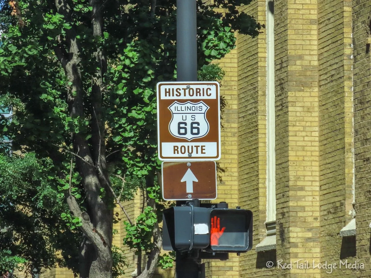
Along Route 66, we noticed the brown signs indicating the Historic Route 66. In some places, there are more than one option, as Route 66 was re-aligned over the years. In those cases, the brown signs would list the years underneath. In the Route 66 Navigation app, it usually gave you two options, A or B, when you were setting the destination. Option A was the recommended route and seemed to avoid the unpaved alternate sections of Route 66. At times, the Navigation app would deviate from the brown signs. Perhaps it was following an unmarked alignment or just trying to go past some landmarks, we’re not sure. However, it didn’t happen often. A couple of times we ignored the Navigation app and followed the brown signs.
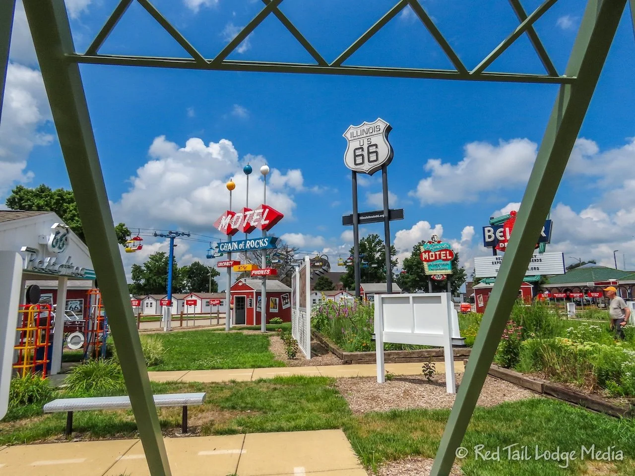
Our first stop in Springfield was the Illinois Route 66 Experience at the state fairgrounds. The exhibit contained several neon signs along with some other memorabilia and a series of pavilions with pictures and explanations of the sights along the route, from Chicago all the way to St. Louis. It was a nice display.
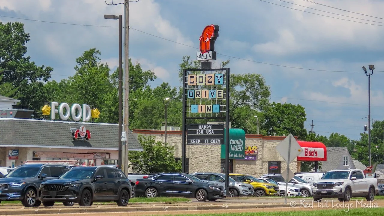
Since we got a late start, it was getting close to lunch time. We decided to continue on the route all the way to the Cozy Dog on the south side of Springfield, then come back after lunch to hit the sights we skipped.
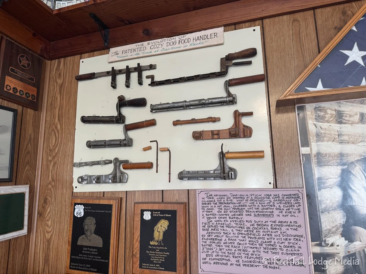
The Cozy Dog Drive In opened in 1949. Cozy Dog is the inventor of the corn dog on a stick. The original owner, Ed Waldmire, Jr., even took out a patent on the device he developed to dip the hot dogs in batter, then dip them into the hot oil. Ed’s grandson, Josh Walmire, now runs the business. Ed Waldmire was the father of Bob Waldmire, the artist we mentioned earlier.
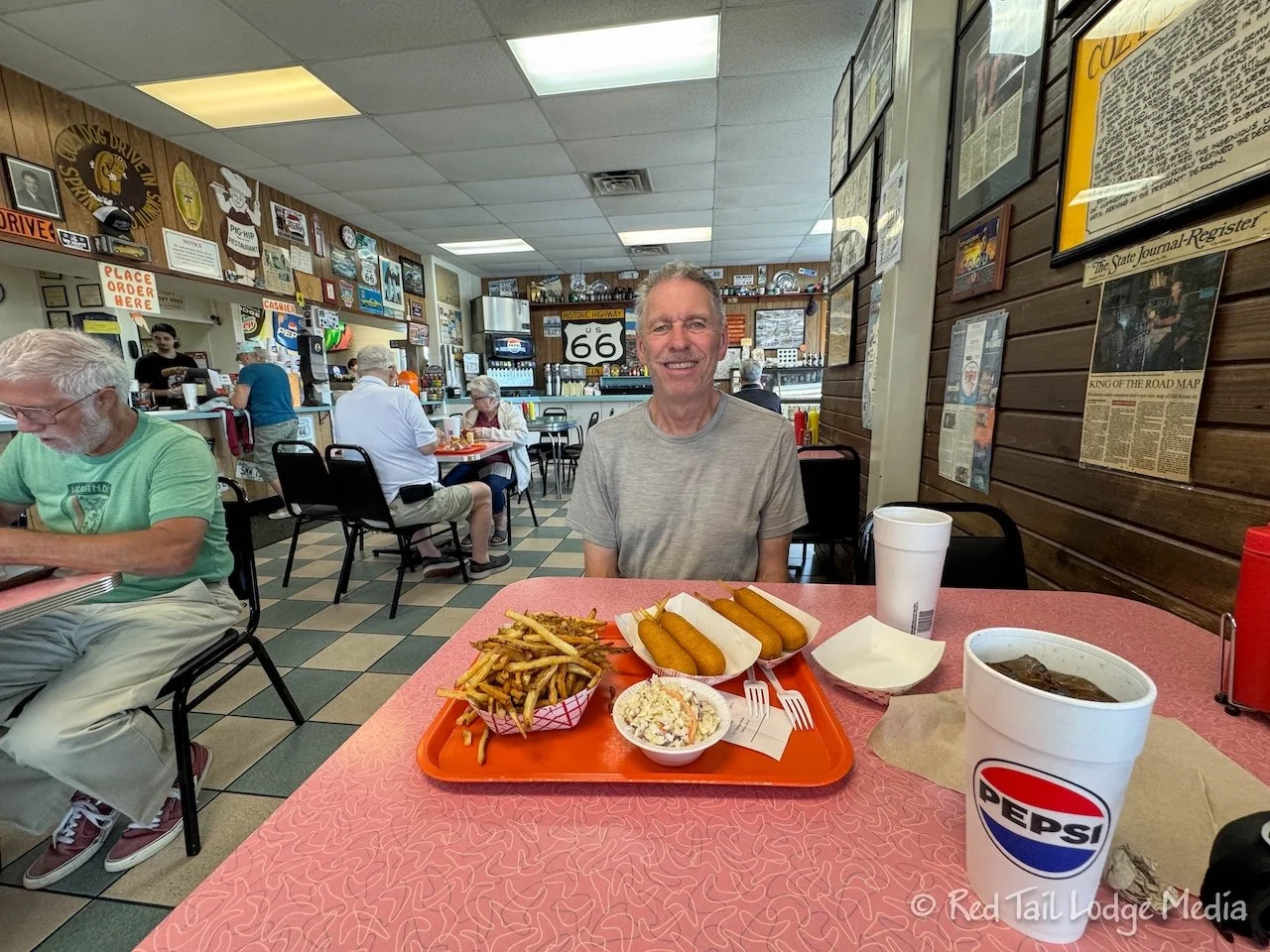
We ordered the Cozy Dog basket which was four Cozy Dogs and a large order of fries. In addition, we got a small side of coleslaw. The dogs were surprisingly very tasty. The corn bread batter on the outside of the hot dogs was cooked perfectly with a crispy outside. The fries looked freshly cut, with the skins left on. We originally were going to just order the coleslaw and skip the fries, trying to balance out our diet, but we saw the fries and they looked really good. They did not disappoint us. The coleslaw was also pretty tasty. It was lightly dressed, not swimming in dressing like some slaws.
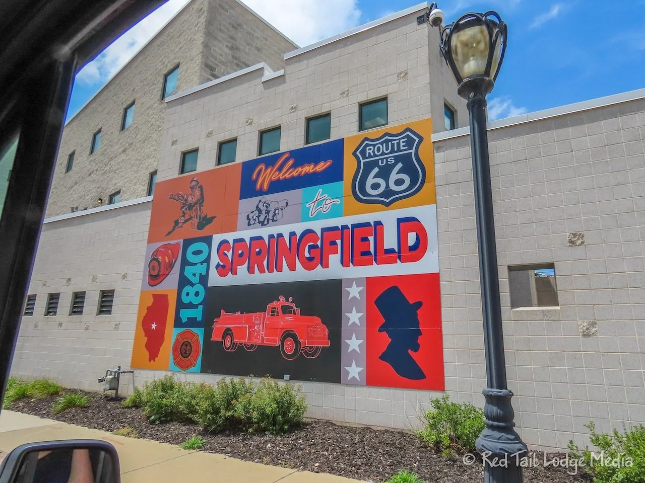
We considered the drive from Williamsville to Cozy Dog in Springfield to be our Day 2 on Route 66. We’ll pick up the route at Cozy Dog when we leave Springfield in a couple of days. So that added another 19 miles on the Mother Road, which took us 37 minutes and an average speed of 30.8 mph.
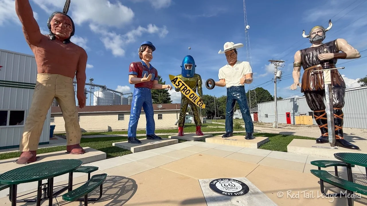
Keith happened to be browsing the internet about Muffler Men, the large fiberglass statues along Route 66 that were originally created for advertising. He came across a page on the Roadside America website that showed a map of a couple hundred Muffler Men all across the United States and Canada (https://www.roadsideamerica.com/map/theme/86). He noticed that there were three listed in Springfield. One of them was along Route 66, which we’ll see as we leave town on Friday. However, the other two were not on Route 66.
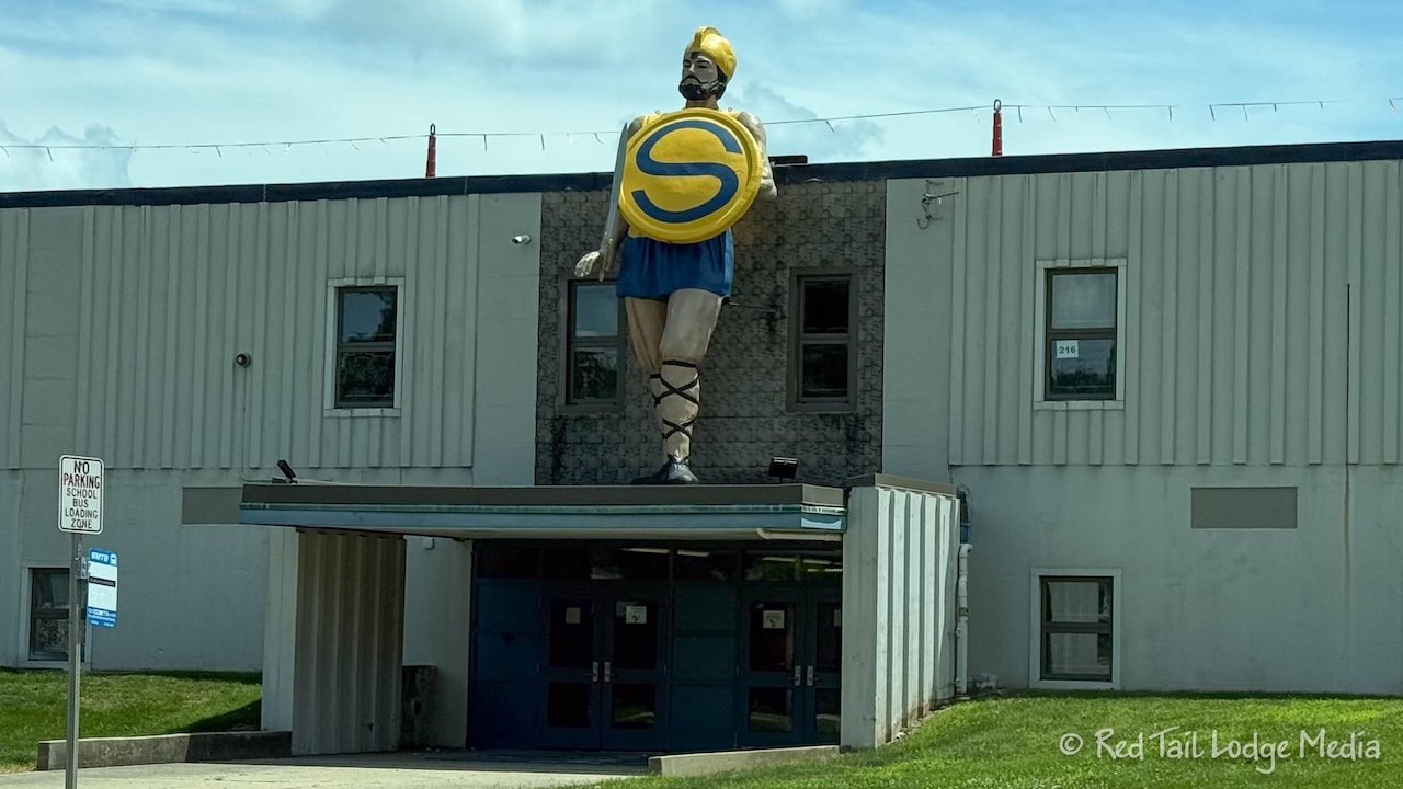
So we decided to try to find them. One was the Southeast Spartan at Southeast High School. We parked at the high school and walked towards the stadium, but couldn’t see the statue. We couldn’t walk very far because there was construction going on. However, as we drove around the far side of the high school, there it was, perched above the entrance to the school.
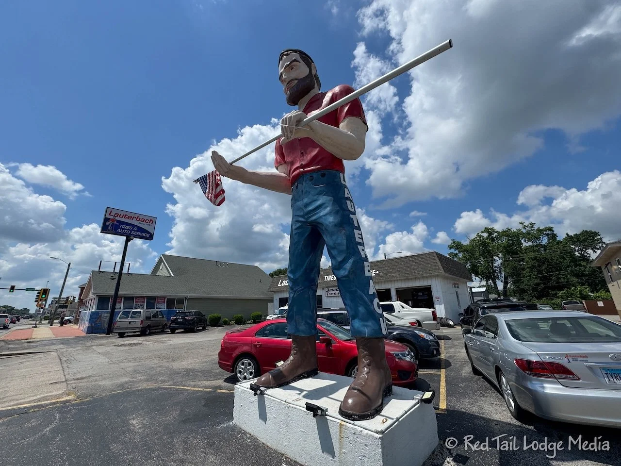
The other Muffler Man was the Lauterbach Tire Muffler Man. It sits out in front of the Lauterbach Tire and Auto Service station. It was hard to miss.
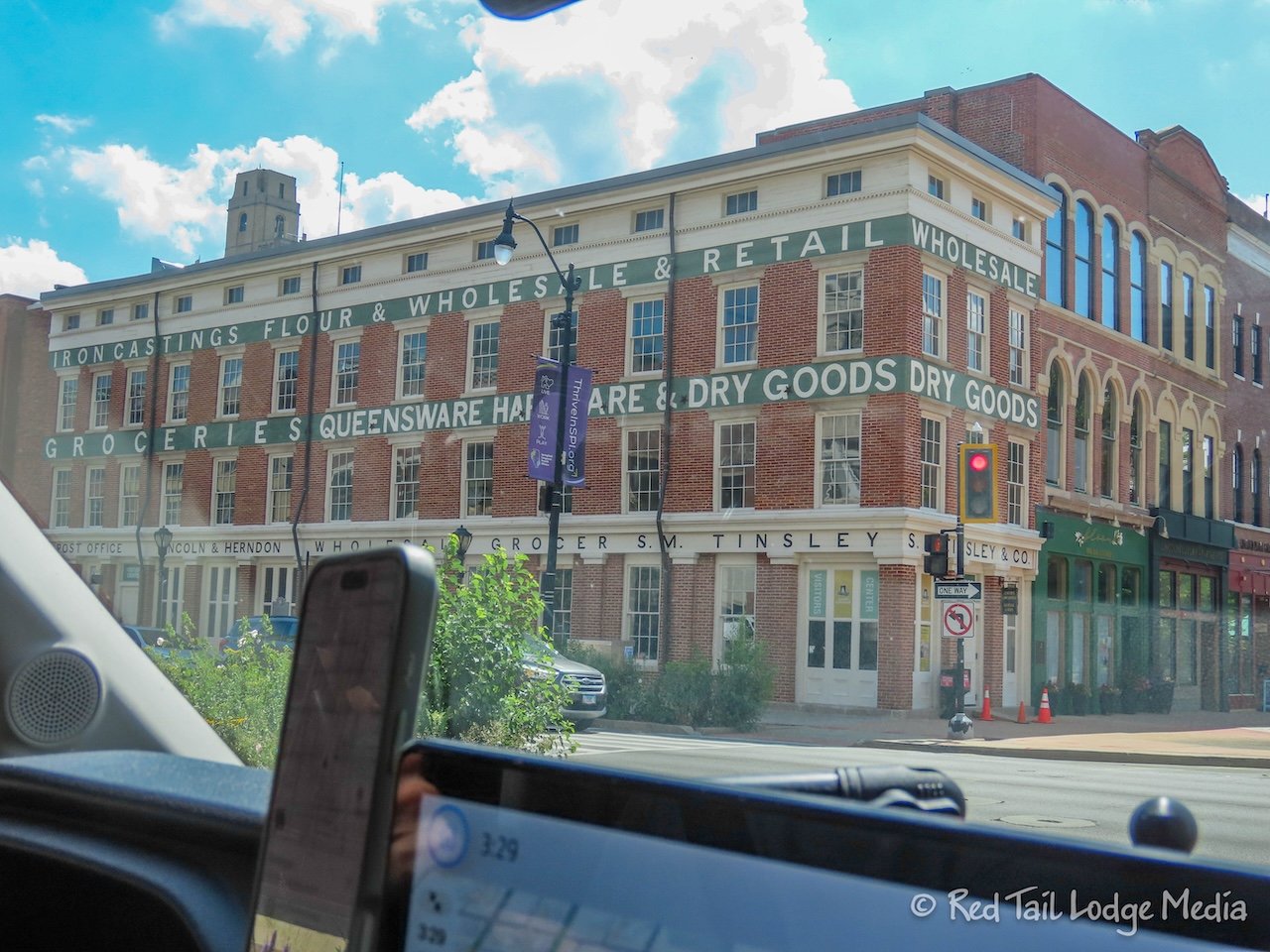
After our scavenger hunt, we stopped by a grocery store to stock up on food. We hadn’t been to a store since Ponca, Nebraska, almost two weeks ago. Afterwards, our fridge was packed full. There were more things than usual in our fridge, since we had moved a full loaf of bread and package of tortillas into the fridge while we were in Chicago. We were concerned they wouldn’t keep sitting in the hot RV while we were in a hotel there and eating out for meals.
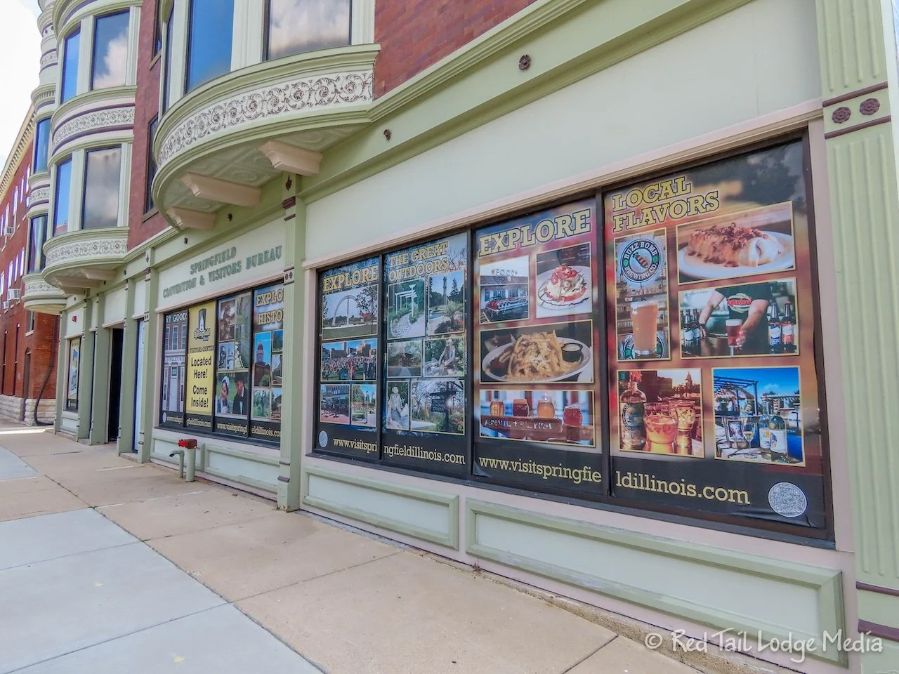
Then we headed to the downtown area of Springfield. We found a place to park along the street, a few blocks from the Springfield Visitors Center. It was another place to get a stamp in our Route 66 Passport. Along with our stamp, they gave us another Illinois 66 100 Years pin, a Route 66 Legends window cling, a Route 66 Legends scent to hang from our mirror, and an America 250 Illinois sticker. For people who don’t normally buy souvenirs, we sure were collecting a lot of swag.
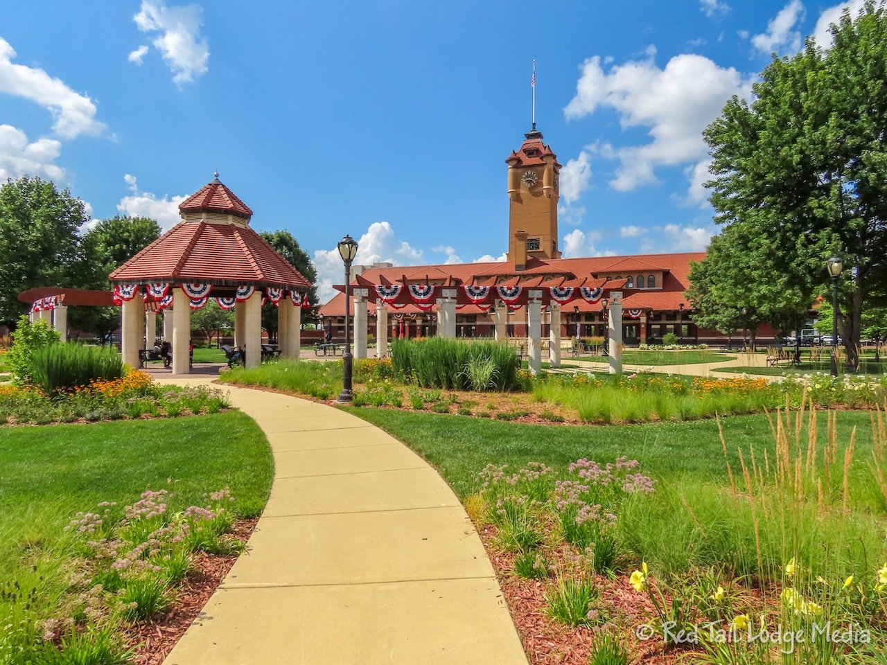
The staff at the visitors center was excited to tell us about all the activities that were happening in the Springfield area. She highly recommended attending the Flag Lowering Ceremony at Lincoln Tomb that evening at 7 pm. It was a part of their History Comes Alive program, with all kinds of events happening just about every hour on Tuesdays through Saturdays, from June 4th to August 8th.
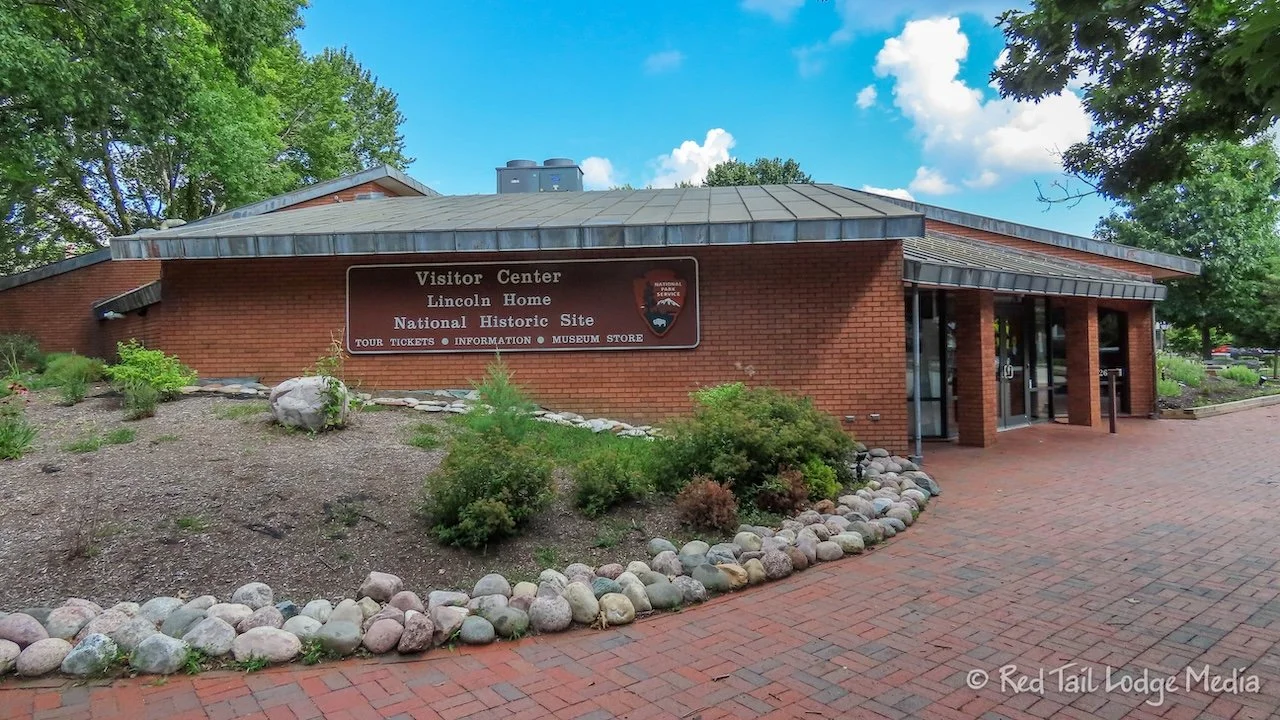
From the visitors center, we walked over to the Lincoln Home National Historic Site, which is operated by the National Park Service. We arrived at about 3:30 pm. You needed a guided tour to be able to go inside Lincoln’s home, but all the tours were booked for the rest of the day. We asked about making a reservation for the following day, but you have to show up in person on the same day to get a ticket for the tour. However, we could walk the grounds and go into a couple of other buildings, along with watching the park movie.
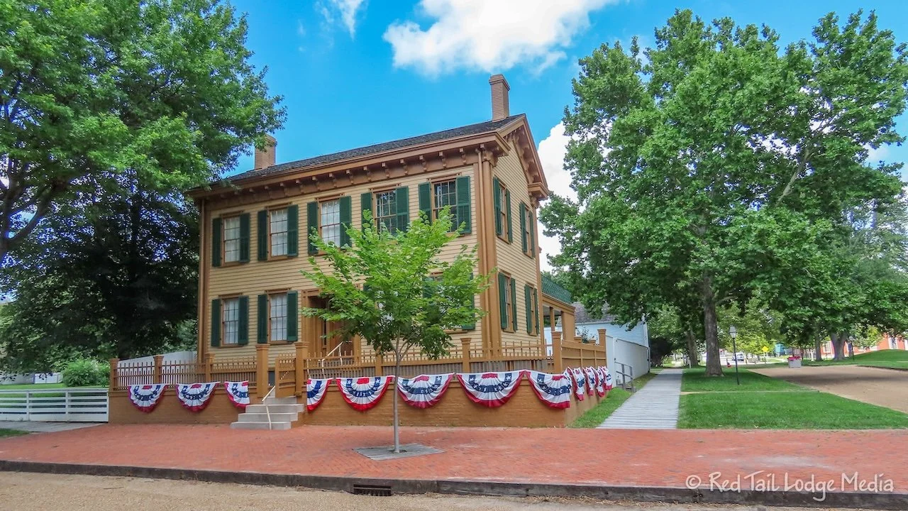
The Lincoln Home National Historic Site not only includes the only home Lincoln ever owned, it also included the four blocks surrounding the home. Most of the lots are vacant, but about half a dozen other homes are standing, either originals or restorations. Care had been taken to restore the neighborhood to the state it was in when Lincoln lived there. The streets are unpaved and the sidewalks are wooden boardwalks.
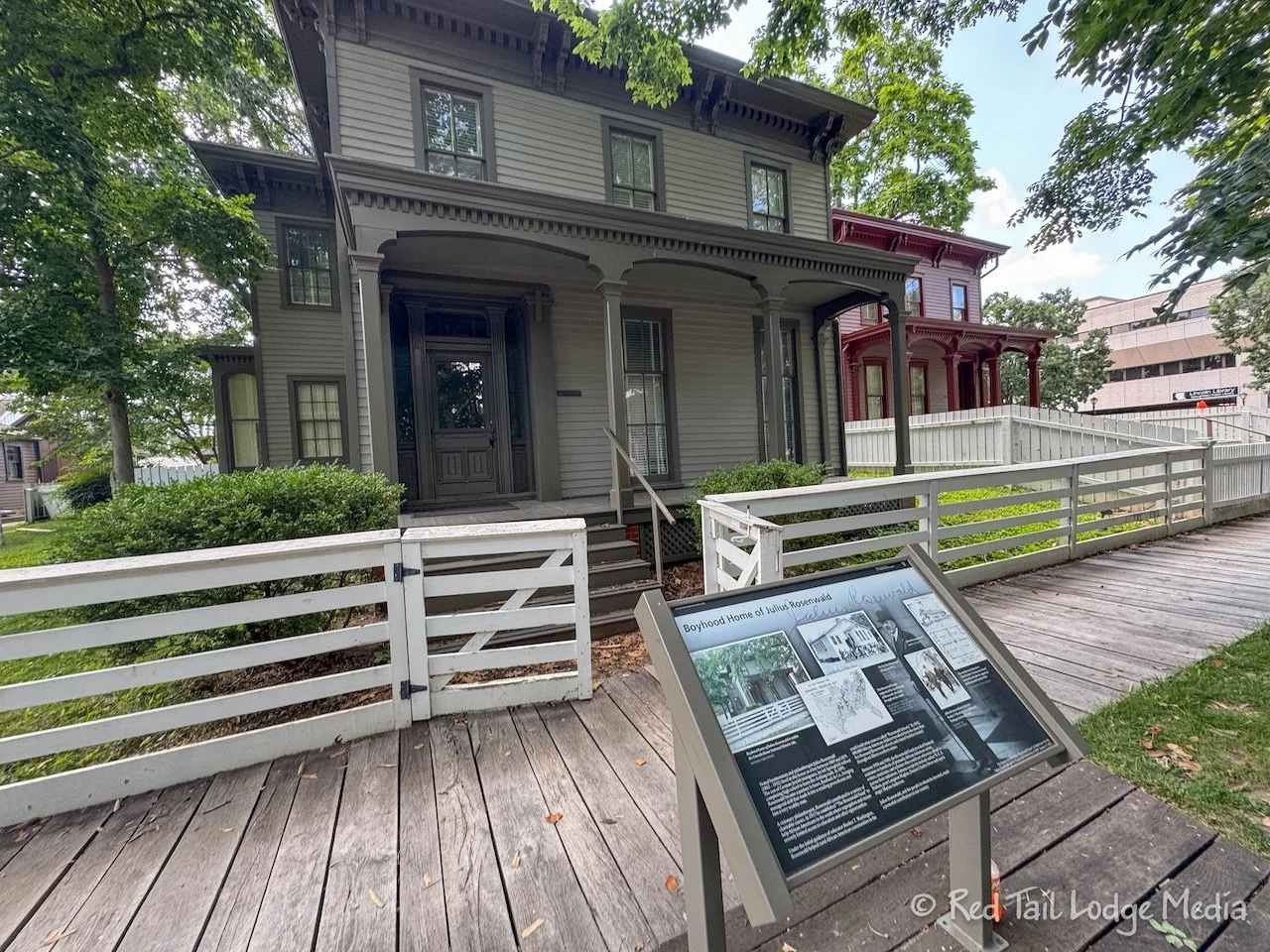
After walking around the grounds and reading some of the informational signs, we went back inside the Lincoln visitor center to watch the park movie. As with most National Park Service movies, it was well worth our time.
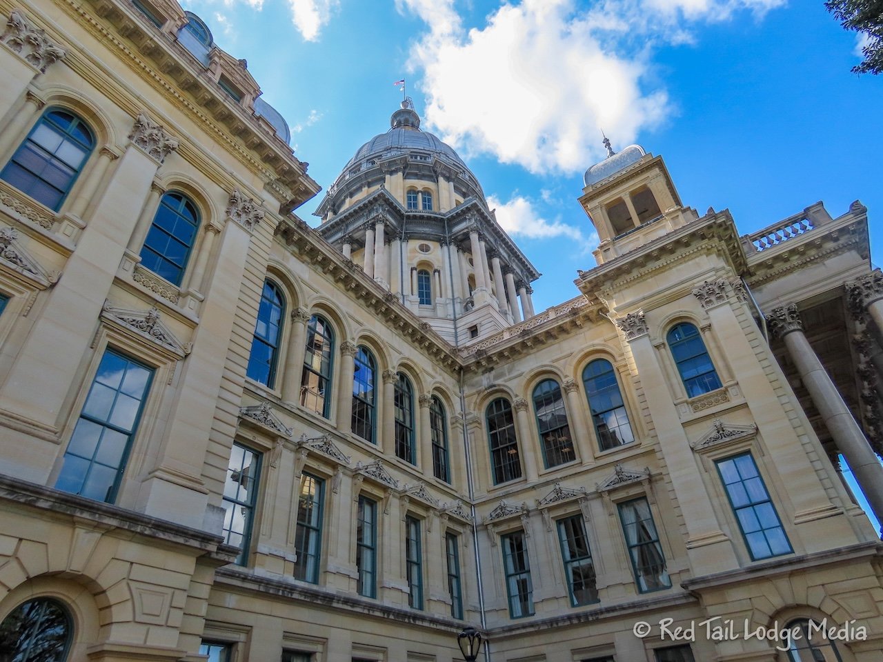
From there, we walked over to check out the Illinois State Capitol. As with most state capitols, it is an impressive building.
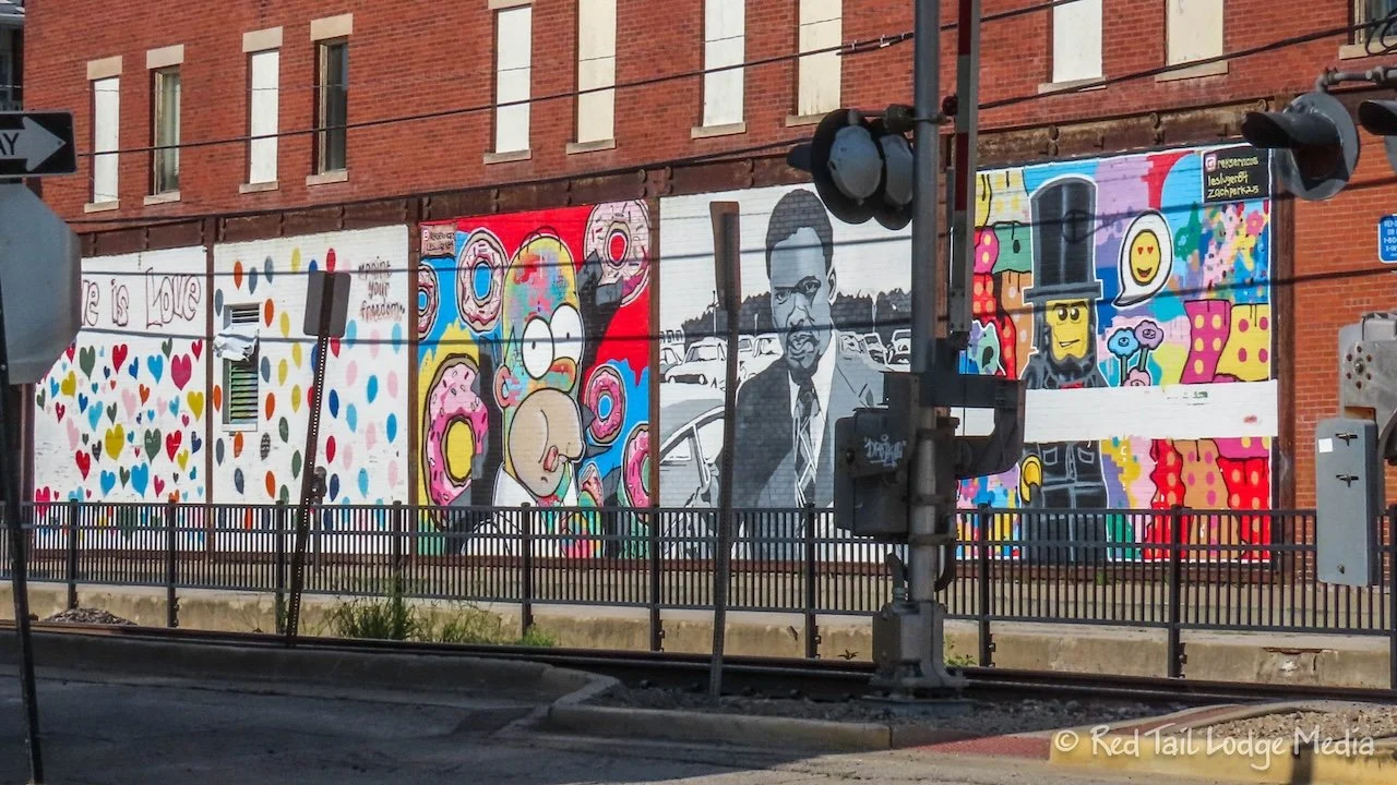
Then we looked for a place to have dinner. Ann originally planned to cook a meal back at the campground that evening with some of the groceries she purchased, but we decided to attend the Flag Lowering Ceremony, so we ate out yet again for another meal.
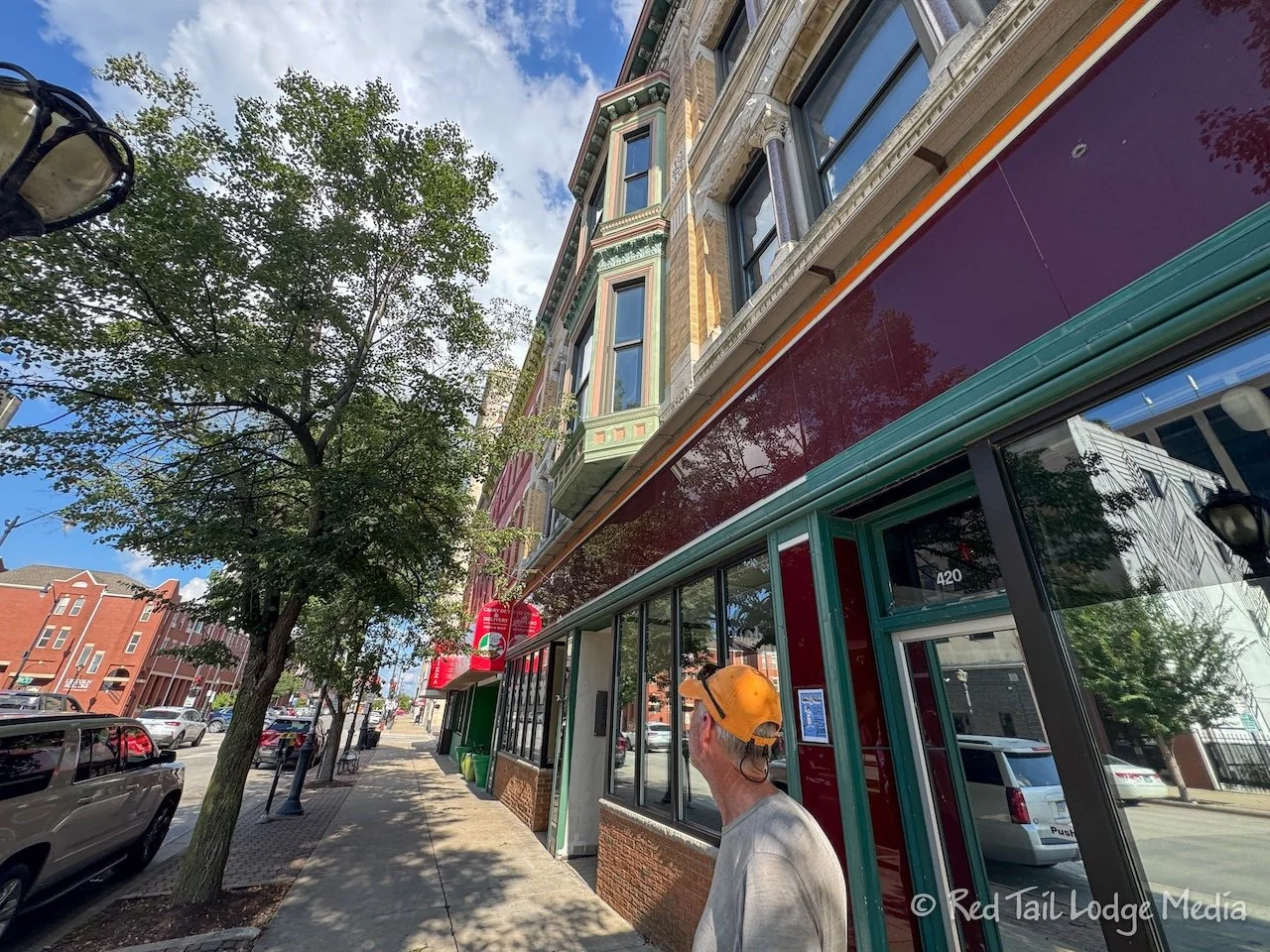
Not too far from the Capitol is a place called Joe Gallina’s Pizza. Pizza sounded good, so that’s where we went. The restaurant has been family owned and operated since 1978. You ordered the food at the counter, then grabbed a table. Ann was surprised at how large the menu was. Not only was there regular pizza, deep dish pizza, stromboli, and calzones, there was a large variety of appetizers, sandwiches, salads, soups, dinners, and desserts. It looked like the original owners were in the kitchen and bringing food out to the tables. The place was doing a good business.
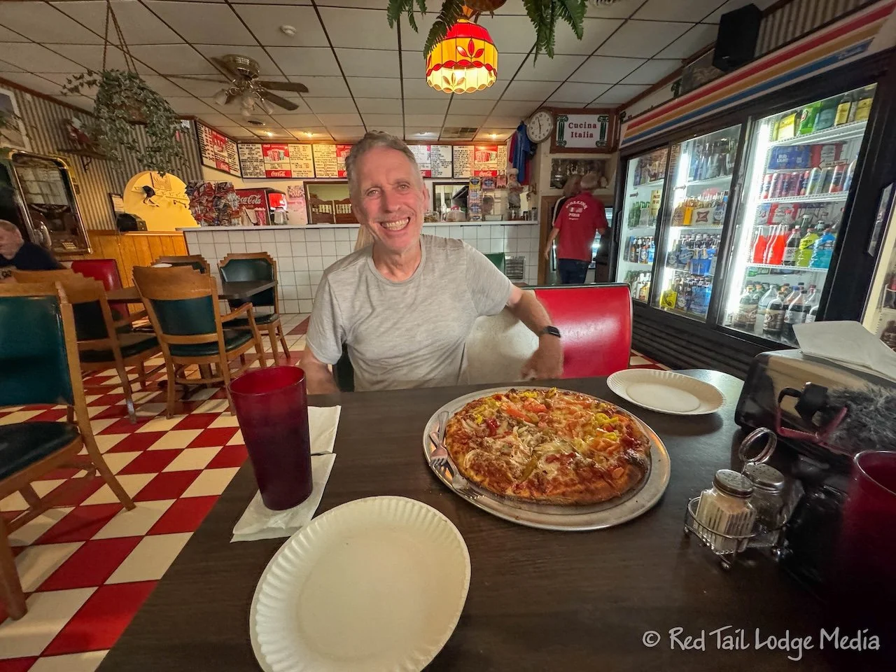
We ordered a 14 inch regular pizza, half with pepperoni, banana peppers and tomatoes for Keith and the other half with sausage, green peppers, and onions for Ann. The yeast pizza crust was about a medium thickness, baked long enough to have a nice, crispy bottom. The sausage was a ground Italian sausage with a definite taste of fennel. It wasn’t the best pizza we’ve ever had, but it was very tasty and satisfying.
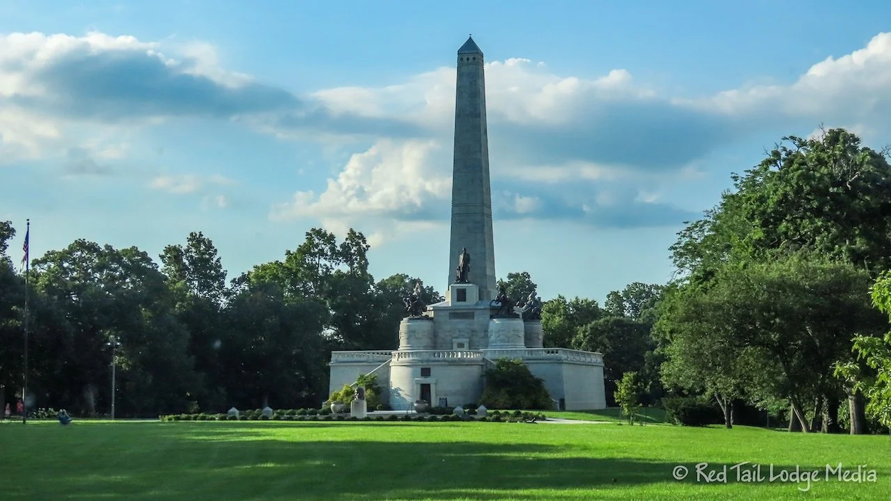
After dinner, we drove over to Lincoln Tomb. The parking lot was filling up, but we had no problems finding a place to park our rig. The tomb was much larger than we expected. An obelisk on top of the base rises over 100 feet into the air.
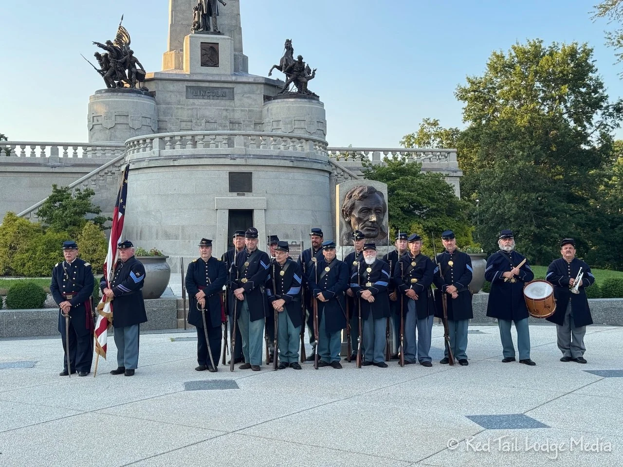
The Flag Lowering Ceremony featured the reactivated 114th Regiment Illinois Volunteer Infantry, complete with a drum, a bugle, and 11 muskets. The infantry and a handful of ladies were all dressed in period uniforms and clothing. During the ceremony, they shot the muskets three times and then set off a canon. The flag was given to one of the people in attendance, based on a random drawing of names. We didn’t put our name in the hat.
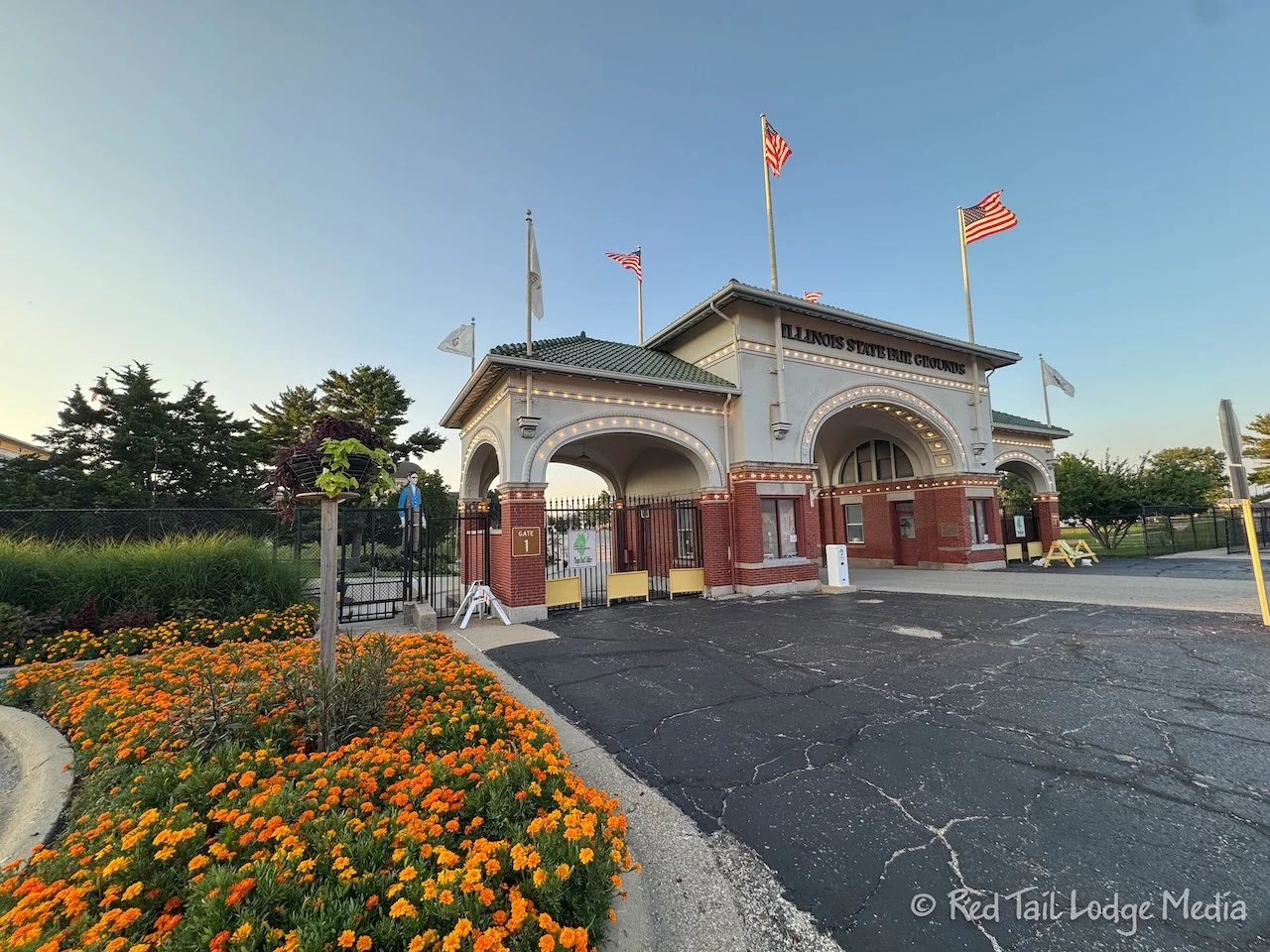
The ceremony lasted about half an hour. Afterwards, we drove back to the Illinois Route 66 Experience. We heard they turn on the neon signs in the evening. We arrived a little before 8 pm. The neon signs were turned on, but it was hard to tell because the sun had not set yet. We hung around for about 15 to 20 minutes, waiting for it to get a little darker.
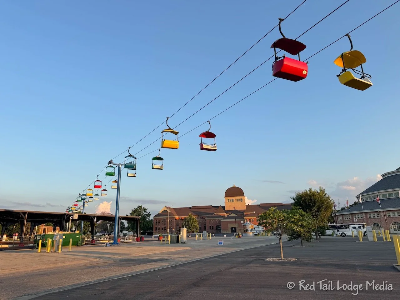
While we were waiting, Ann went for a walk around the fairgrounds to close her exercise ring. The fairgrounds contained quite a few interesting buildings, including the Illinois Fire Museum and what looked like a horse racing track. The PHBA (Palomino Horse Breeders Association) World Championships were in progress, so the horse barns looked busy. At first, Ann thought there was a campground, as quite a few travel trailers and horse trailers were parked around the outside of the track, with hookups. But they were probably participants in the championships.
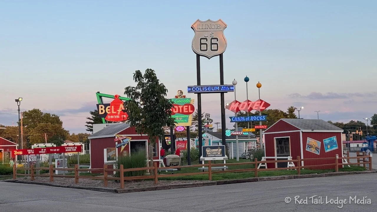
The carnival rides were back closer to the Route 66 Experience, including cable cars and a giant slide. The neon signs were now more noticeable. We decided we had waited long enough, so we took a few pictures, then headed back to Sangchris Lake.
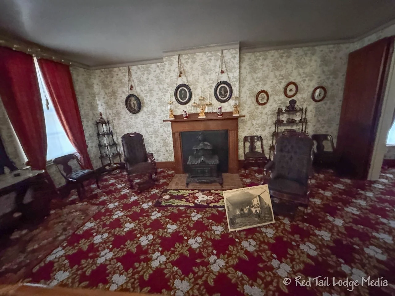
Wednesday, we headed out a little earlier than the day before. We wanted to make sure we could get a tour of Lincoln’s Home in before lunch. There was a parking lot for buses and RV’s right next to the Lincoln Home Visitor Center. When we arrived, we were able to get on the next tour, at 10 am.
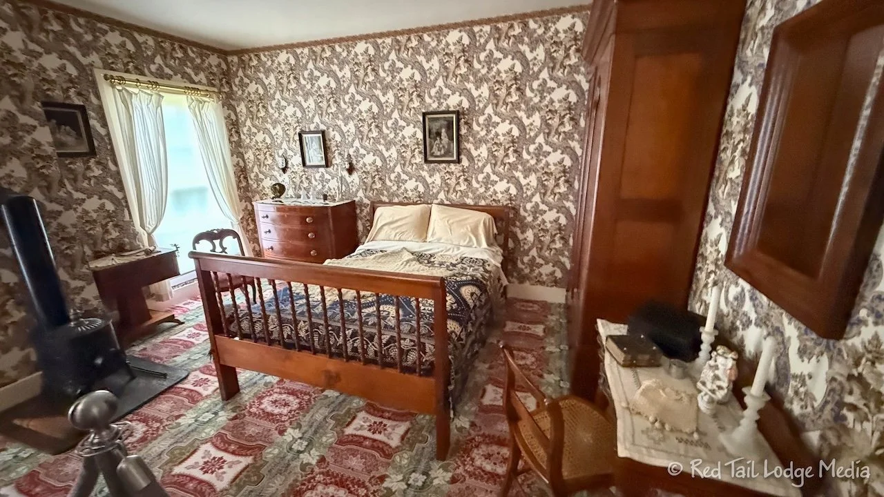
We were surprised that the tour was free. During the tour, we learned why. When Lincoln’s son sold the home to the state of Illinois, he sold it for $1 with the stipulation that it would remain open and free to the public. Years later, the state of Illinois then sold it to the National Park Service for $1 with the same stipulation. The reason for the guided tour is to limit the number of people in the house at the same time and to reduce damage to the home.
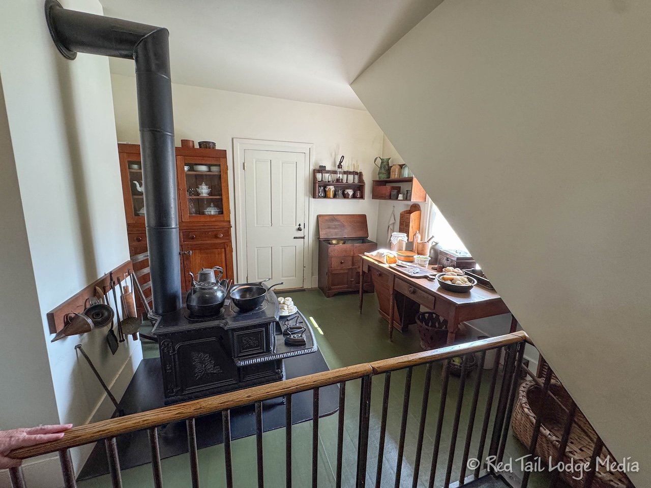
The tour lasted about half an hour and was very informative. Our guide explained what Lincoln and his family’s life was like inside the home and pointed out which features and furniture were original, which were replicas, and which were just period pieces. We would definitely recommend trying to get on a tour.
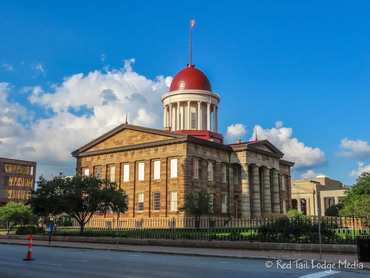
Keith had a dental issue that he needed to get checked out, so he had made a dentist appointment for 1:30 pm. That meant we had some time to kill before then. So we looked up what events were currently happening. There were two musical events, one at 11 am and another at 11:30 am, over at the Old State Capitol, so we walked over there.
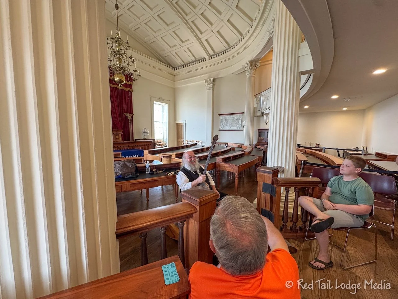
The first event was Mike Anderson explaining different Appalachian musical instruments that many Civil War soldiers might have played. These included the Jew’s harp or jaw harp (and other similar instruments), harmonica, dulcimer, and spoons or animal bones. He demonstrated how each were played. He was very interesting, demonstrating some sound effects used in cartoons. In fact, he did the sound effects for quite a few animated films, such as Toy Story.
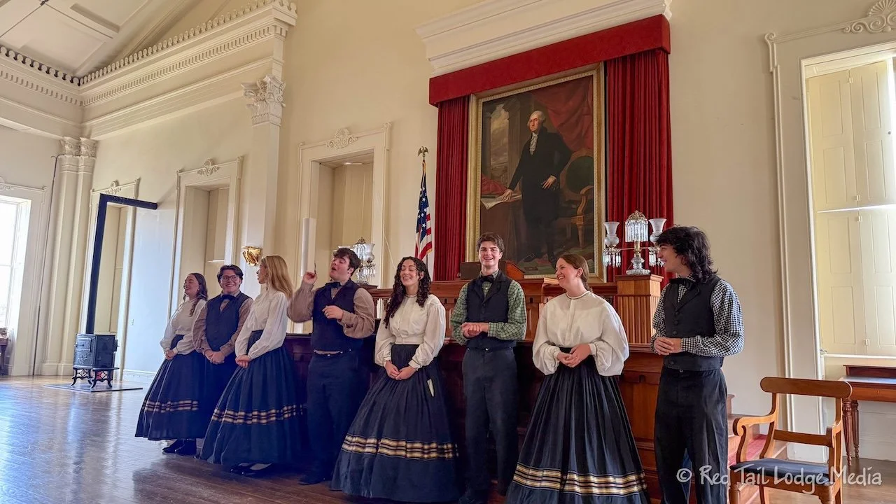
The second event was a vocal a capella group called the Lincoln Troubadours. They were a fantastic group, singing a series of Civil War songs. We found them very entertaining.
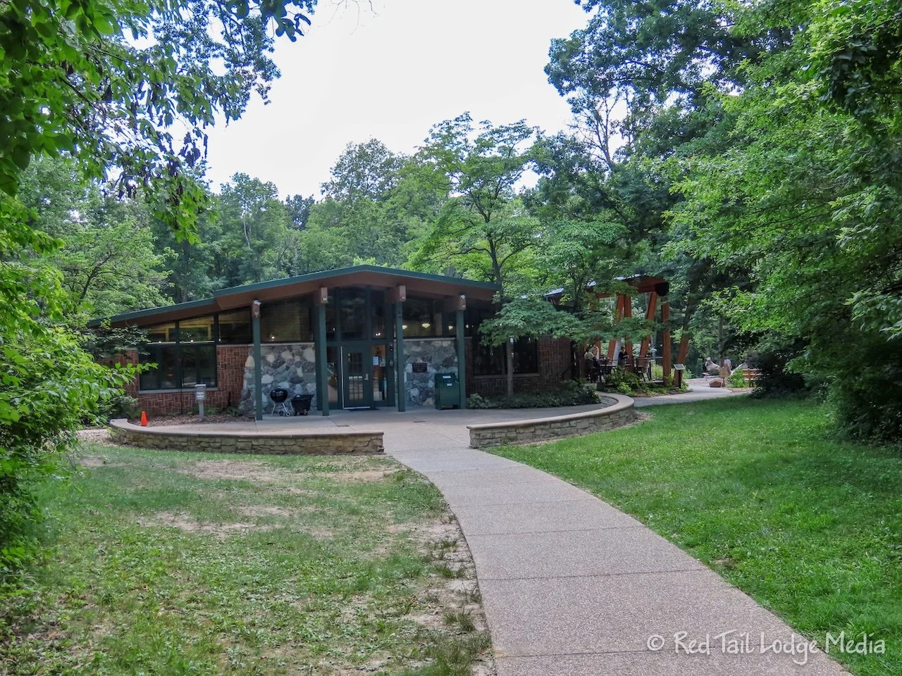
Then we walked back to Red Tail, ate our leftover pizza, and drove over to Keith’s dental appointment. From there, we drove down to Lincoln Memorial Garden and Nature Center on the south side of Lake Springfield. The garden has no historical significance, but represents the landscape Abraham Lincoln would have known growing up. We were there to go on a hike.
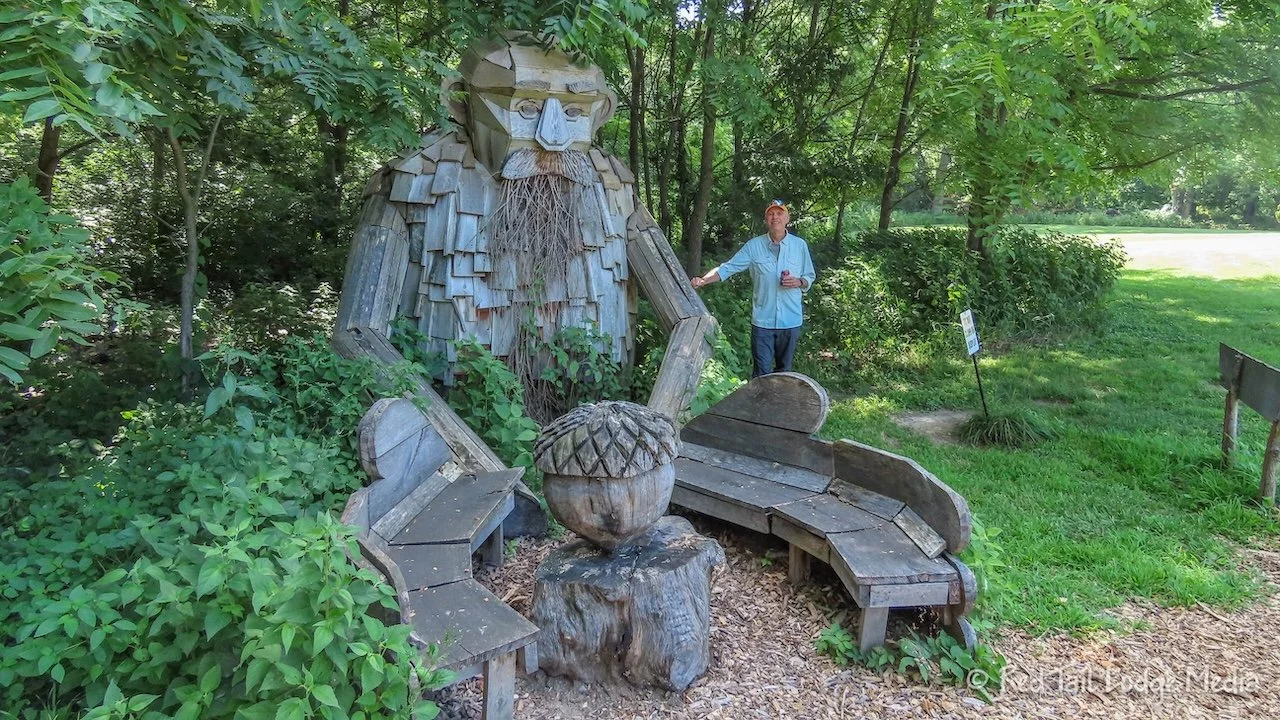
Ann saw pictures from the garden that looked like Thomas Dambo troll sculptures, but didn’t find the Lincoln Memorial Garden listed on the Thomas Dambo website. We’ve seen Dambo’s trolls at a few other locations, such as the Coastal Maine Botanical Gardens (Boothbay, Maine - September 30th to October 2nd, 2021), Breckenridge in Colorado (Breckenridge, Colorado - Feb 11th to 18th, 2022), and the Aullwood Audubon Center & Farm in Ohio (Dayton, Ohio - June 7th to 9th, 2023). There were trolls at Lincoln Memorial Garden, but they are not Thomas Dambo trolls. They were created by art students in coordination with the Springfield Art Association. The trolls were inspired by the Thomas Dambo trolls, but are on a smaller scale.
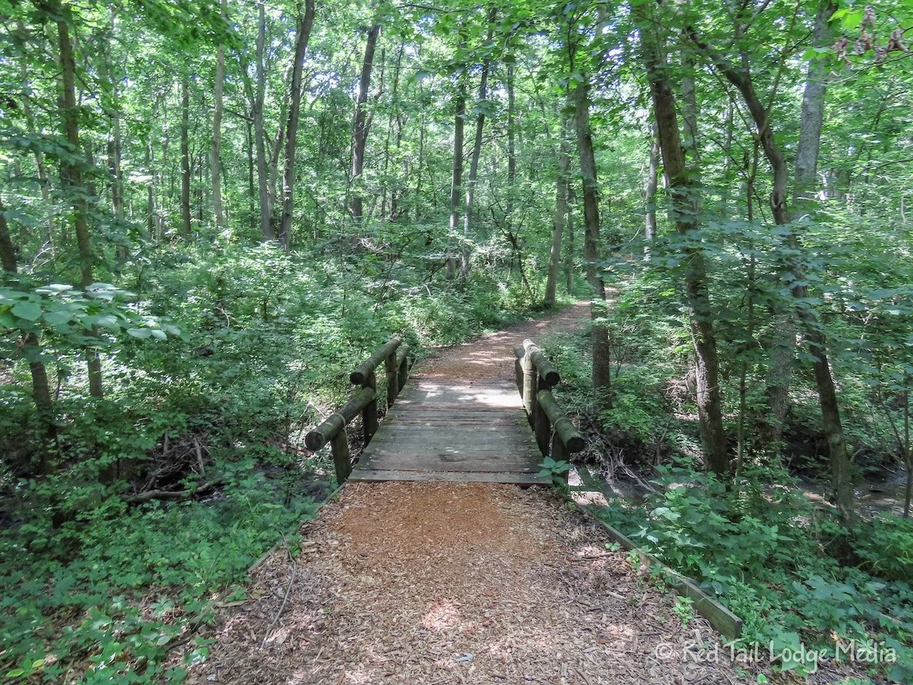
The garden has a network of trails through the woods, along the lake shore, and across a meadow. We made a large loop around most of the property. By the time we finished, we covered 3.4 miles with an elevation gain of only 92 feet, which took us an hour and 22 minutes to complete. We counted it as hike number 10 of our 52 Hike Challenge for 2026.
Next we stopped by a drug store to pick up a prescription. While Keith went inside, Ann went back into Red Tail to turn on the RV air conditioning. We managed to get by the first two nights at Sangchris Lake without turning on the AC or plugging in. However, we were feeling pretty hot and sticky, so we decided to turn on the AC while we drove back to camp so the rig would be nice and cool when we arrived. Our batteries can support the AC for several hours even without the alternators recharging the batteries as we drive. Plus, we’ll be plugging in once we get to camp.
Keith was thankful that we turned on the AC, especially after standing out in the sun cooking over the Blackstone grill that evening. Yes, we finally cooked a meal instead of eating out.
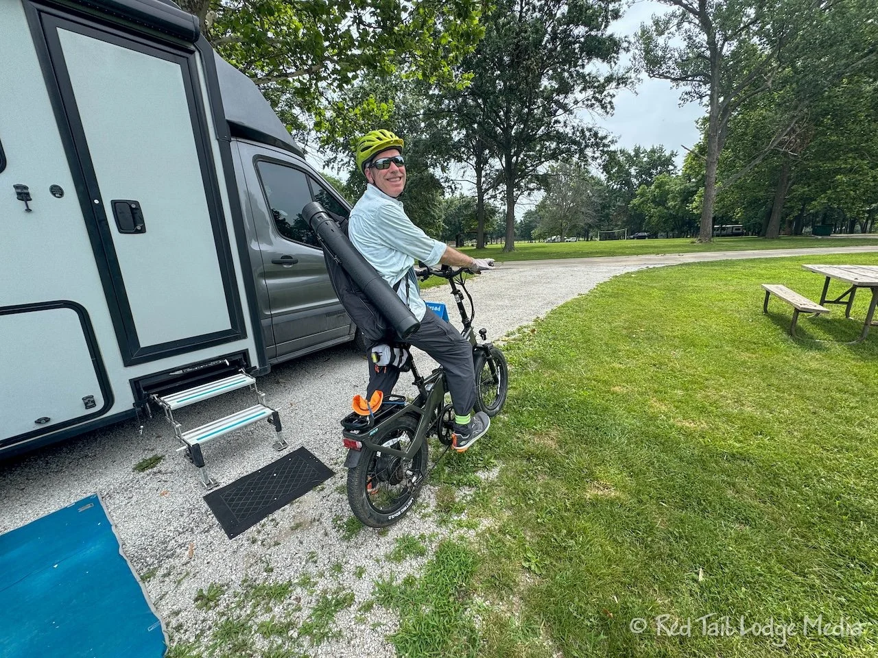
Thursday, we just hung out at Sangchris Lake State Park. In the morning, Keith rode his bike over to the archery range. It was about a ten minute bike ride down the road from the campground. There were targets at various distances, ranging from 10 feet to 40 feet. He said he was shooting OK. Ann did not go with him.
Instead, Ann stayed at camp to get caught up on her notes and work on a blog post. About every two hours, she would get up and go for a walk to get her exercise in for the day. The campground loop road was about a mile long, with the main bathrooms at the other end.
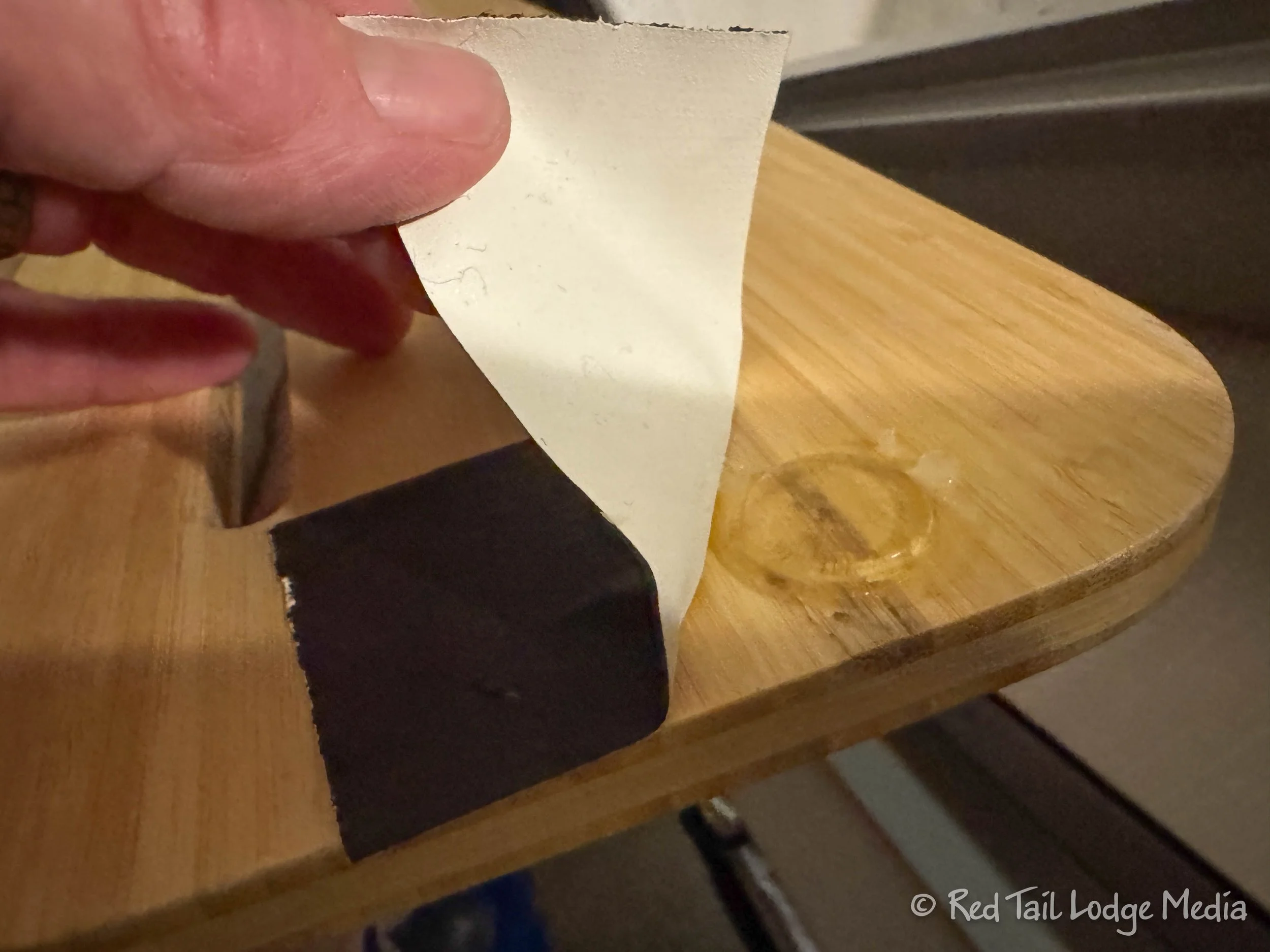
In the afternoon, Keith worked on his list of minor todo items. There was a small piece of foam that fell out of the entry doorway which he siliconed back into place. One of the little feet had come off the bamboo shower mat, so he siliconed that back on as well. A couple of items were leftover from our pre-season checklist, like lubricate the entry stairs and replace the batteries in the TPMS (Tire Pressure Monitoring System) sensors. The stairs really needed it, as it was getting difficult to pull them in and out (we have stairs now that are manually deployed).
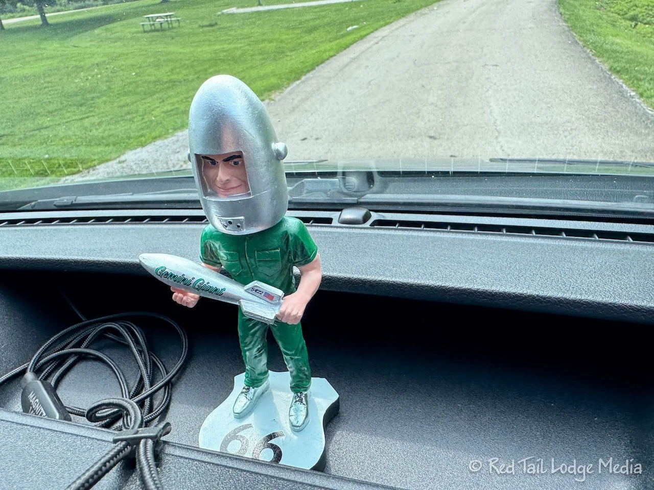
But then the most important item was gluing magnets to the bottom of the Gemini Giant bobblehead so we can mount him to our dashboard using a stick-on metal plate.
Before we went to bed, we looked at the Route 66 plan for the following day, from Springfield to St. Louis. We picked out what points of interest we wanted to stop and see and which option we wanted to follow, A or B. We noticed that the Route 66 Navigation app would say which route a particular point of interest was on when you opened up the details for that point of interest. That helped us decide to take route A instead of B. However, that also meant we would miss the Brick Route 66 Alignment, the Macoupin County Courthouse, and the 1867 Macoupin County Jail. Such is life, you can’t have everything. But we were hoping that our planning would help the day go smoother than the first day on Route 66.
Well, what we thought would take us one day of driving for the first segment on Route 66 ending up being two. So we were glad we spent multiple nights in the Springfield area. We were ready for our next planned segment of the Mother Road. We’ll see how many days it takes us to complete it.
Check out our related video: Route 66: Chicago to Springfield, Illinois
(Ann)