
McDowell Mountain Regional Park, Arizona - February 2nd to 7th, 2026
Our friends, Dave and Sandy, invited us to join them on a two week camping trip down to Arizona at the end of January and beginning of February. This is the third post of our trip, while we stayed five nights in McDowell Mountain Regional Park, the main destination of the trip.
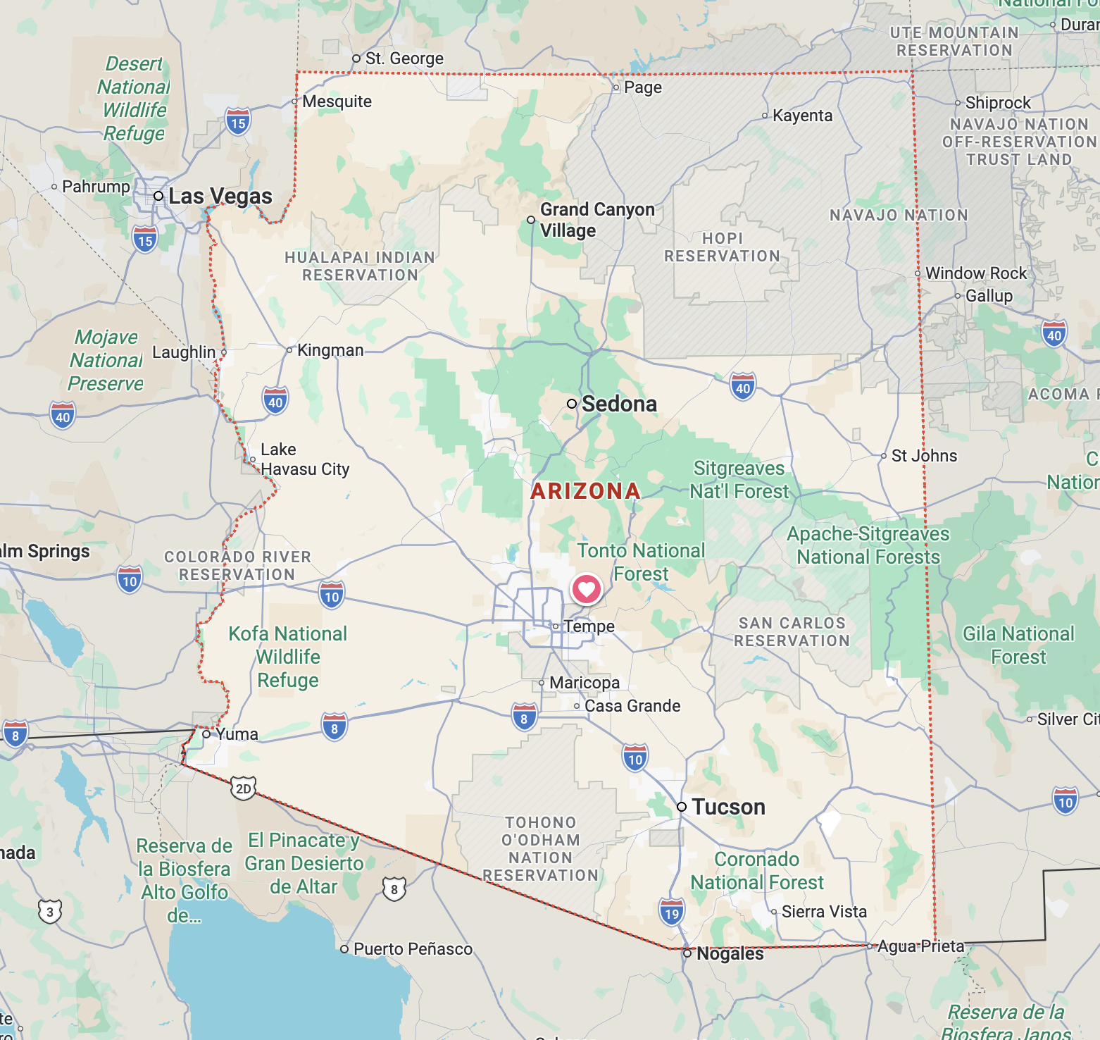
Monday was a travel day from Dead Horse Ranch State Park down to McDowell Mountain Regional Park near Scottsdale. It was about a two hour drive, so we spent most of the day north of Camp Verde before heading south, visiting Montezuma Well National Monument and Montezuma Castle National Monument. We covered those stops in our previous post.
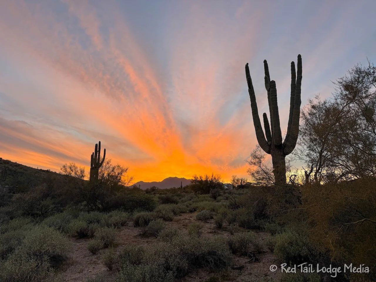
By the time we left Montezuma Castle, it was 3:30 pm and we still had a two hour drive left. So the sun was setting as we set up camp and made dinner. Just like the previous evening at Dead Horse Ranch State Park, we could hear coyotes howling in the darkness.
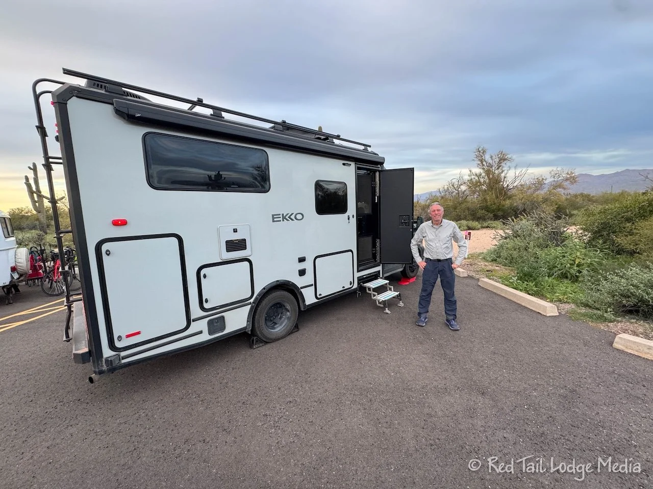
Keith was concerned that there might be an issue with our campsite reservation. We reserved a primitive tent site, because there were no other spots available in the RV campground and we didn’t need any hookups. The website said it was for small camping units or tents, with a max trailer length of 16 feet. But we have a 23 foot RV.
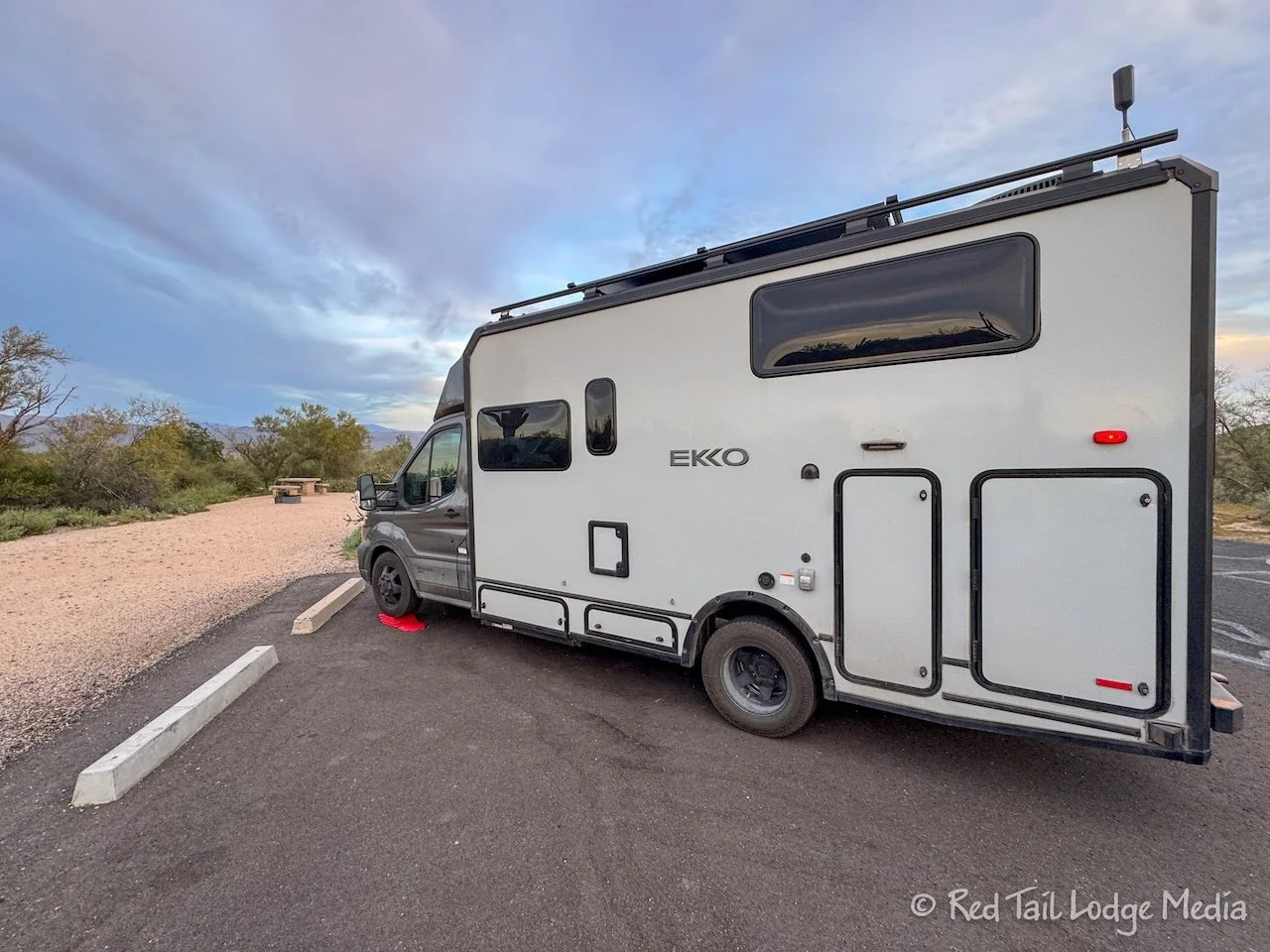
The staff at the booth didn’t even blink an eye when we checked in. Most of the other tent sites were taken by camper vans and small trailers, with only about one or two actual tents. The parking area for our camp site was too short for us to pull straight in, but it was wide enough that we could fit at an angle. The parking area was split with the neighboring camp site. Our neighbors had a small Scamp trailer along with a vehicle. We all fit in our designated areas with no problems.
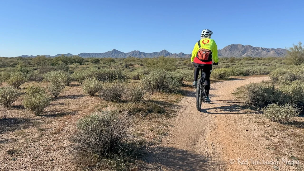
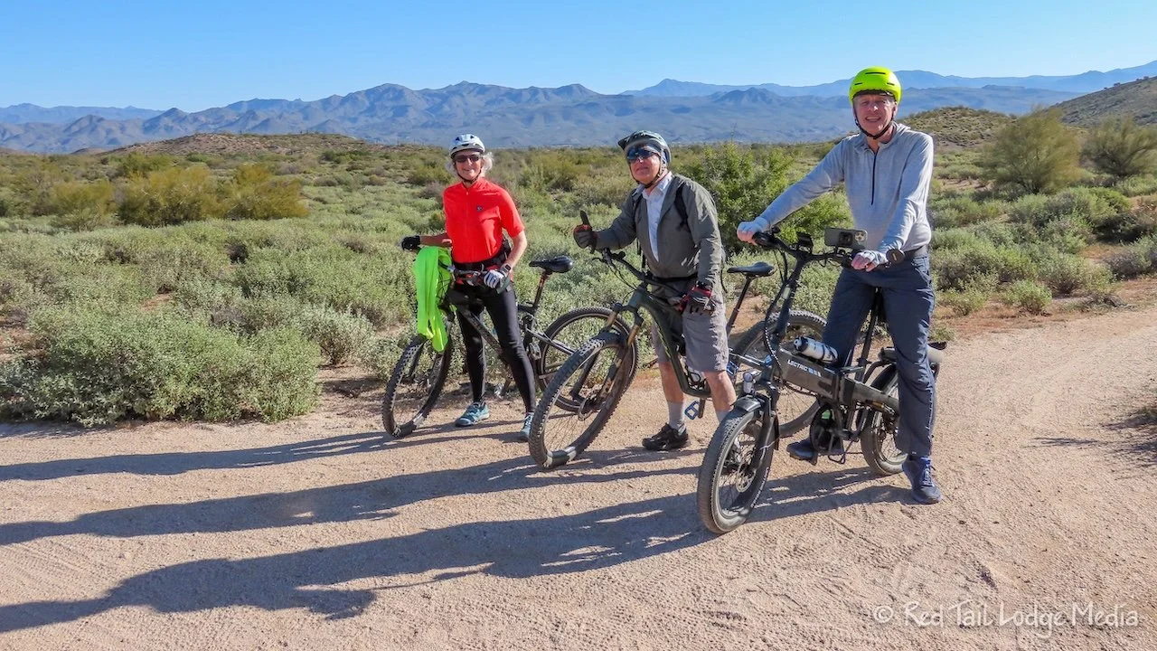
Tuesday, we all went for a bike ride. There are lots of trails inside McDowell Mountain Regional Park. We picked up the Escondido Trail right from the Ironwood Campground and followed it over to the Pemberton Trail. Not too far along the Pemberton Trail, the north side of the Scenic Trail heads off towards the east. Our plan was to loop around the Scenic Trail back to the Pemberton, then see where we wanted to go from there.
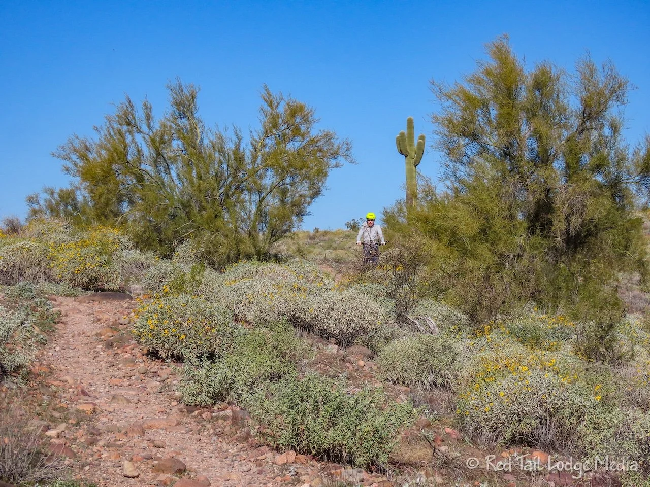
The trails up to this point were easy, mainly flat, and mostly smooth, with not many rocks. The Scenic Trail started off by gaining some elevation, with a fair number of rocks. Sandy thought it was getting too rocky for her, so she turned around. Dave turned around with her. The trail looked like it was getting better. Ann and Keith were hoping the worst part of the trail was over, so they continued on. They were wrong.
Although there was still more elevation gain and loss along the trail, it was not too steep, but it was very rocky. We are not mountain bikers, but we were learning to look out for rocks that were tall enough to scrape our pedals on and tried to keep our pedals parallel to the ground as we passed over them. There were quite a few places where we just got off our bikes and walked. The risk of getting hurt was not worth it.
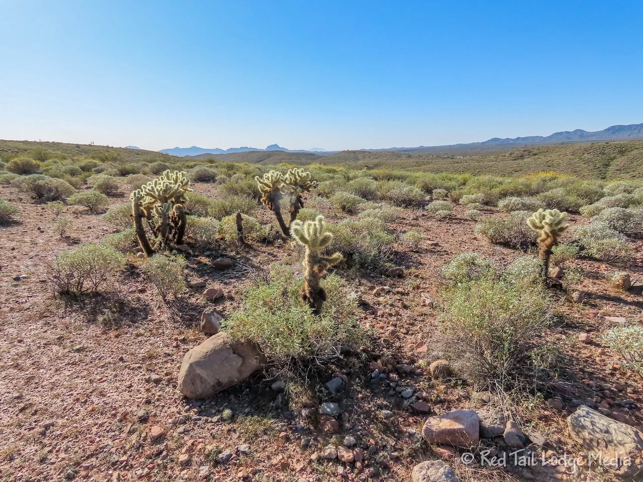
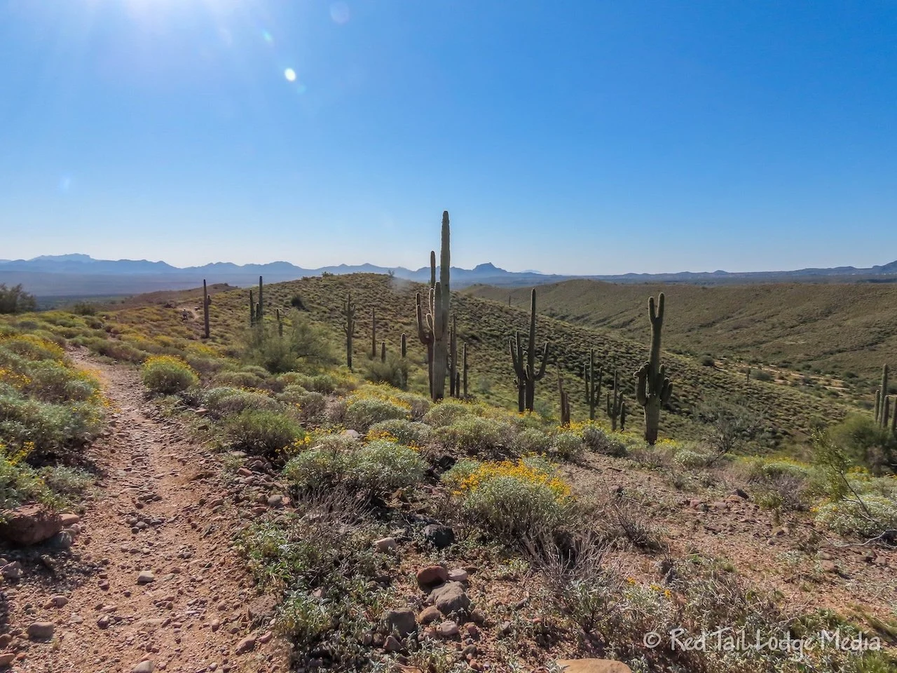
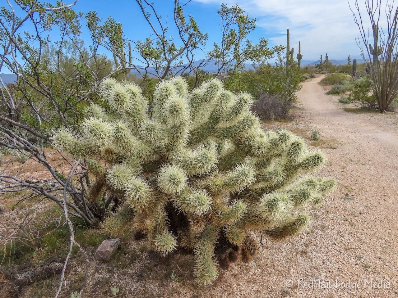
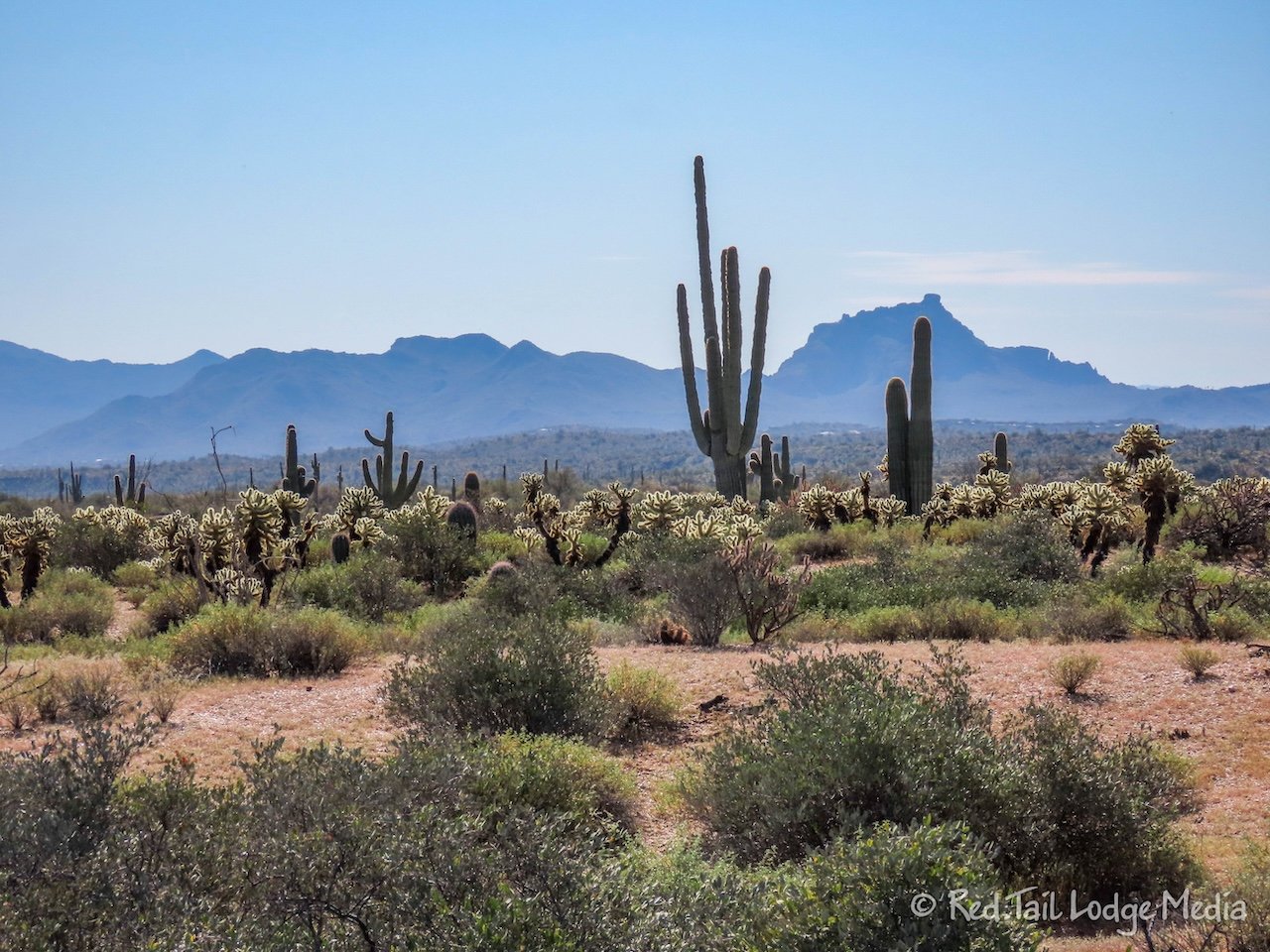
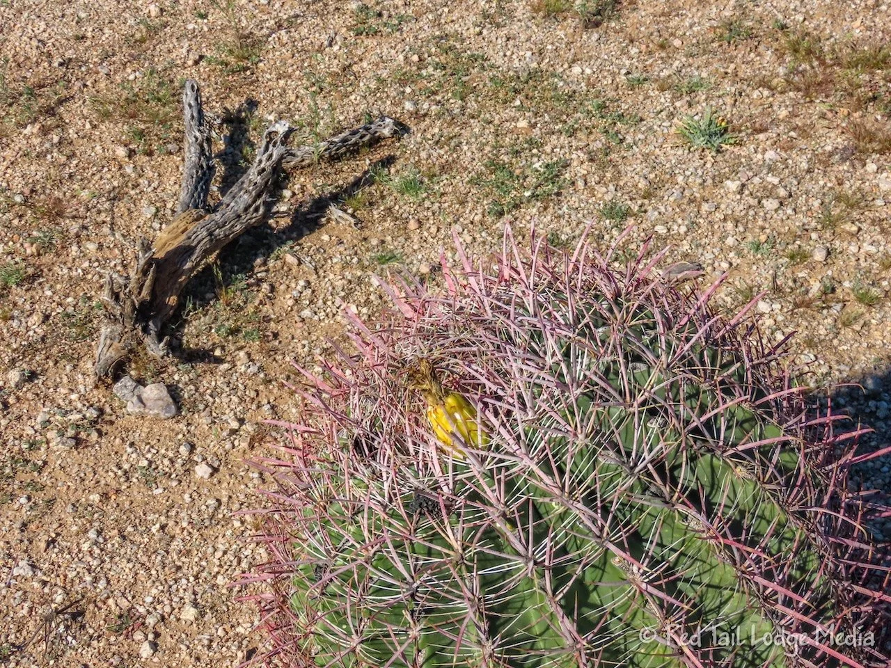
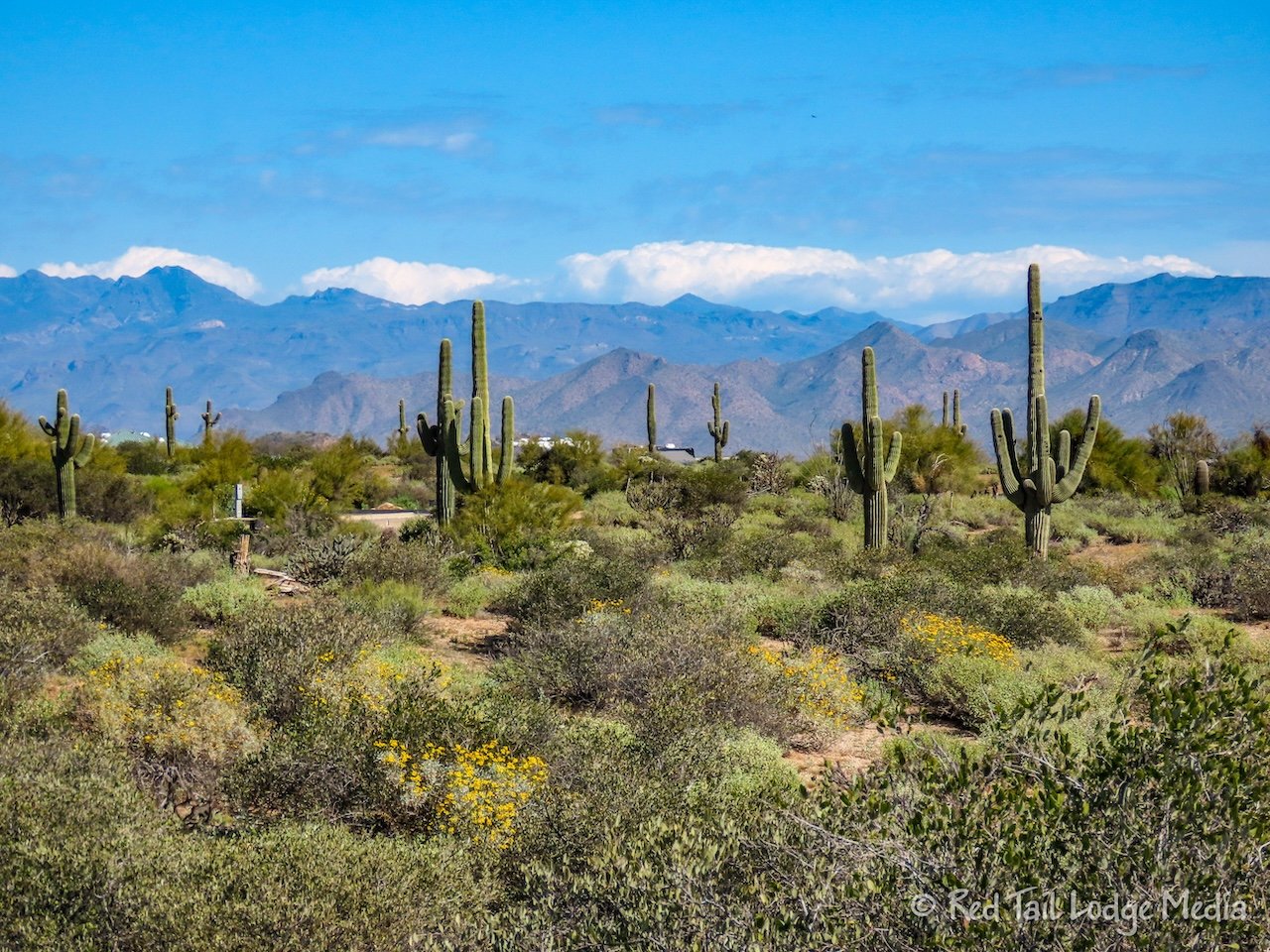
But the trail did live up to its name. There were nice views out in every direction. Saguaro cacti lined the hillsides, with their arms waving us on. Yellow flowers added a splash of color. Teddy bear cactus glowed in the sunlight.
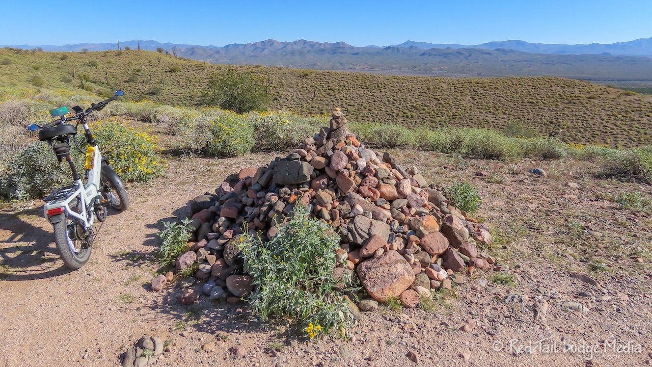
As we approached the halfway point, Ann noticed her phone was missing from its mount on her handlebars. Oh, no! It must have fallen off! So she set her bike down alongside the trail and started hiking back up the trail to find it. Keith waited with the bikes. As she hustled along, scanning the ground for her phone, it occurred to her that she should have seen if Keith could locate it using Find My on his phone. By this time she was a little too far away to turn around, so she kept walking. She decided if she made it up to the high point, where the large pyramid of stones was, she would turn around and go back to try the Find My. Ann was concerned that the phone may have fallen into bushes along the trail and she wouldn’t be able to spot it.
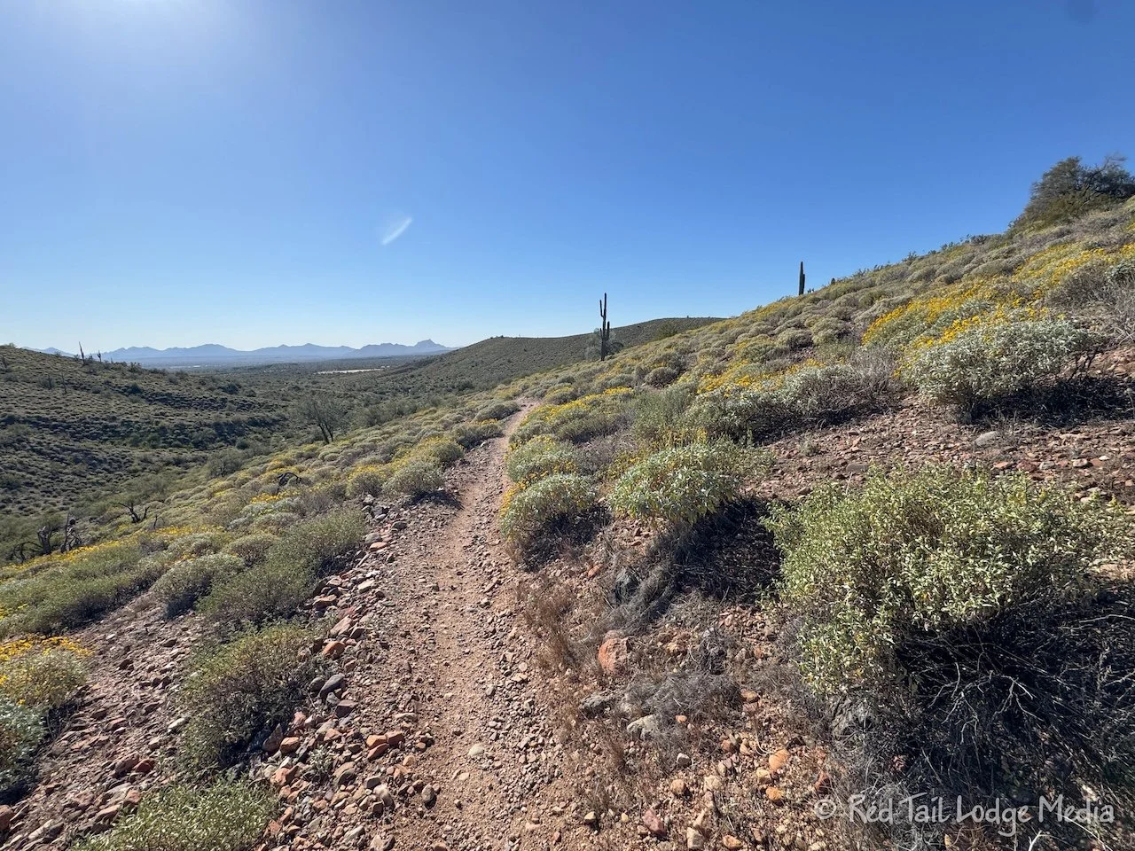
Luckily, before she reached the top, Ann found her phone, just lying in the middle of the trail. She’s also lucky that a cyclist didn’t run over it. The phone seemed perfectly fine, with no damage. Ann keeps her phone in a Peak Design case, which did its job of protecting the phone from the impact of the ground. We’re hoping that Ann must have removed her phone from its mount when we were at the top and she didn’t put it completely back into the mount properly. However, she is thinking about tethering her phone to her handlebars next time, just as an extra precaution, especially on non-paved trails.
Once we reached the intersection of the Scenic Trail with the Cinch Trail, the rest of the Scenic Trail was easy. It became flat and sandy, so we were able to make much better time getting back to the Pemberton Trail. But by this time, we had enough and decided to return to the campground for lunch. In total, we covered about 8 miles with an elevation gain of 525 feet which took us just under two and a half hours to complete. The miles and elevation gain numbers did not include the quarter mile Ann walked back up the trail to retrieve her phone.
In the meantime, Dave and Sandy continued down the Pemberton Trail. They followed it to Tonto Tank, where they turned onto the Tonto Tank Trail to come back down. They covered about twice the distance in about twice the time that Keith and Ann did. They were both pretty tired by the time they returned to camp.
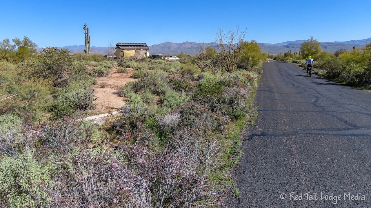
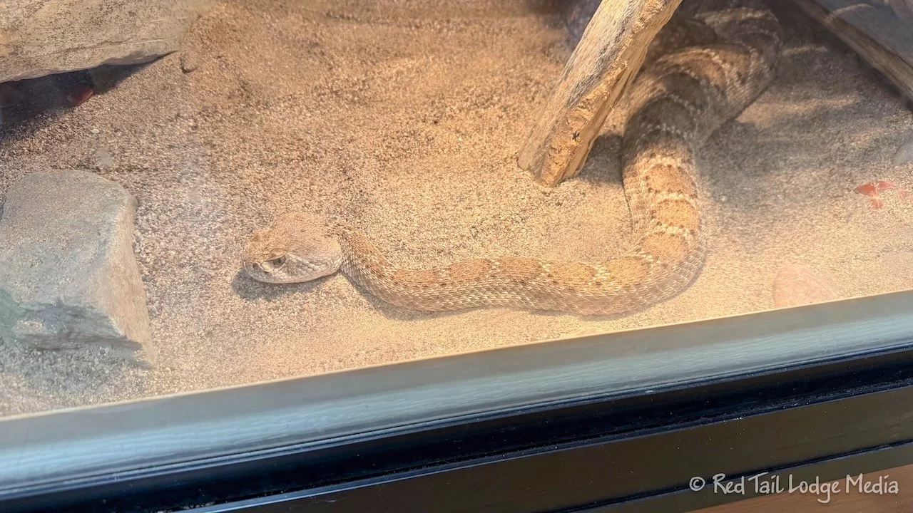
After Ann and Keith ate lunch and relaxed at camp for a couple of hours, they decided to go out on their bikes again for an easy ride. This time we took the road over to the Nature Center, less than three miles away. There were some displays inside about the plants and animals in the area along with some cages containing some live animals, like snakes, a tarantula, a Gila monster, and a tortoise.
From there we took the Tortoise Trail over to the Trailhead Staging Area to check out the showers. There is a shower building in the Ironwood Campground, but it is still under construction and not available for use yet. So if we want to take showers, we needed to go to the staging area, about 3 miles away. But the showers did look nice. However, we decided to skip the showers and just wash up in our rig that evening. We didn’t feel like breaking camp and driving over to the showers, nor hauling our shower gear on our bikes only to get sweaty again as we rode back from the showers.
The Pemberton Trail goes right through the Staging Area, so we took that back, turning onto Escondido to return to the campground. Our second ride was almost the same distance as our first ride, but it was much easier and faster. We returned to camp with plenty of daylight left to make dinner. Then we listened to the coyotes howling again before turning in for the night.
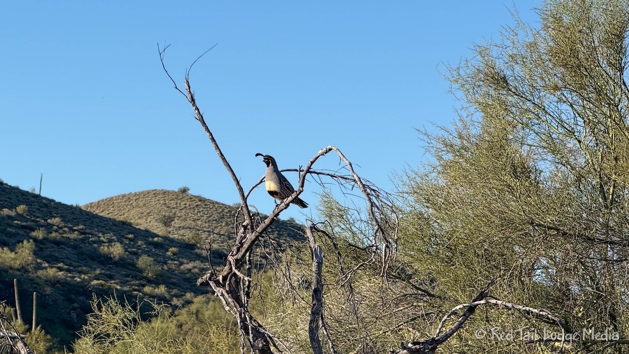
Wednesday, Dave was meeting up with his mountain biking tour group, through a company called Rim Tours. He has toured with them a few times before. It was a small group of six people. They will be going on rides in the area over the next three days. The tour provides all the meals and they will be camping in the Mink’s Camp, a group camping site less than a mile from where we were camping in Ironwood. Sandy would be meeting up with them in the evenings, but we would be keeping her company during the days.
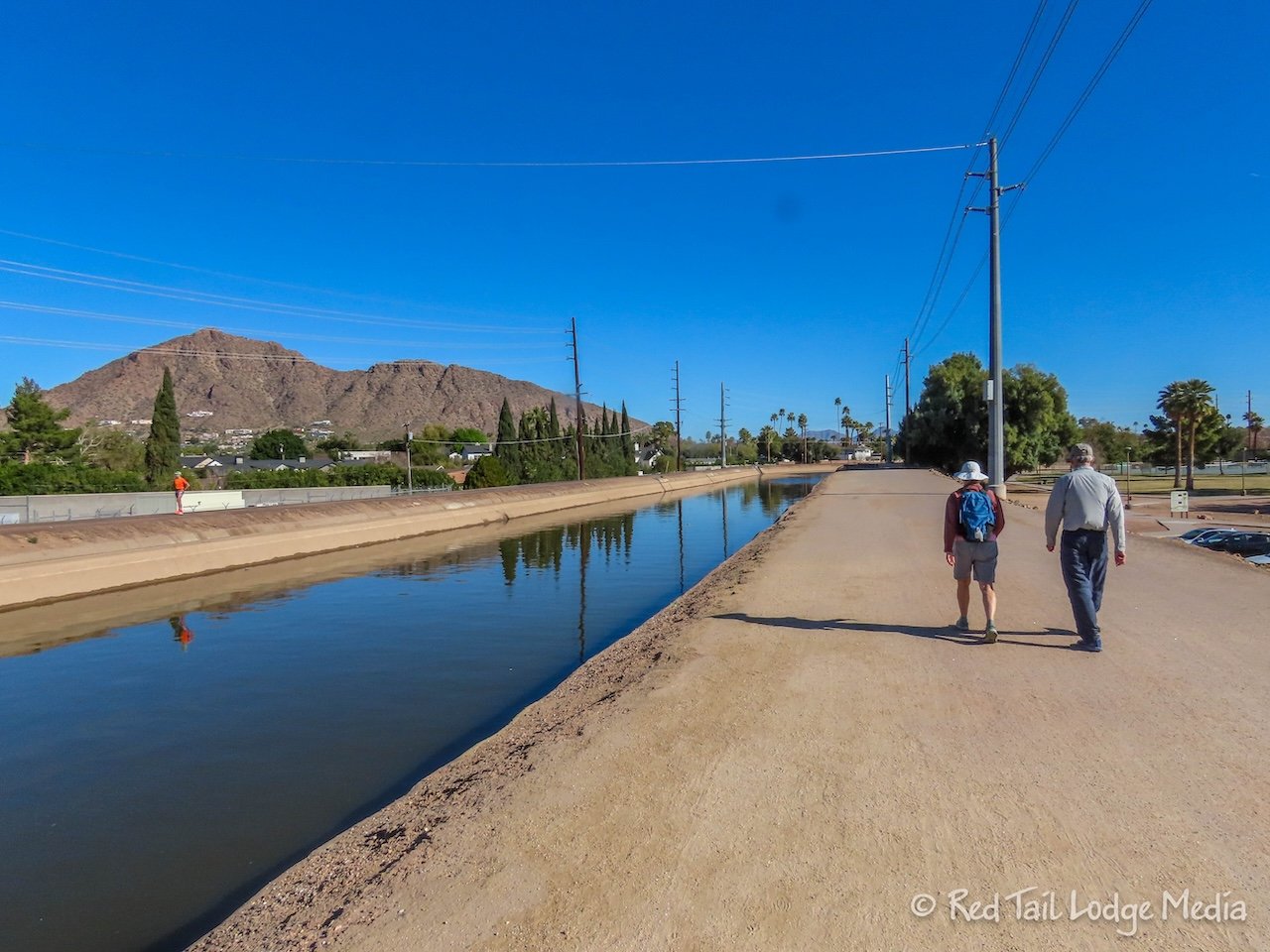
For something different, we drove into Scottsdale. After parking at Acadia Park, we walked the Arizona Canal Trail over to Old Town Scottsdale. The walk along the canal was not very special. There was no water flowing at the Arizona Falls, which is part of a power plant. There was construction going on for part of the canal, which might explain why there wasn’t much water in the canal, as some of it might have been diverted around several sections. One section did have water along with lots of very large fish. We believe they were carp. The traffic noise from the streets that follow alongside the canal along with the trash floating in the water detracted from the experience.
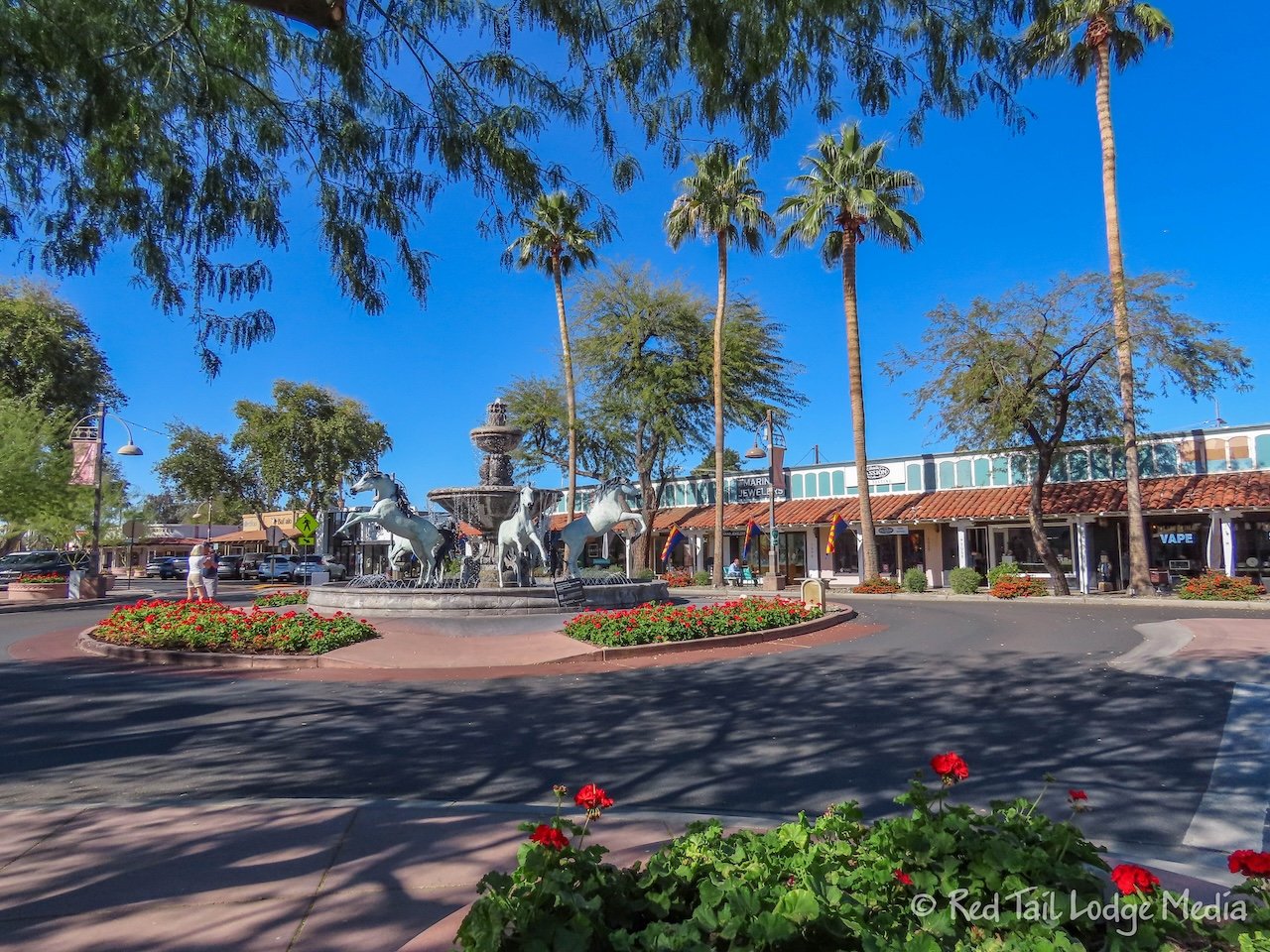
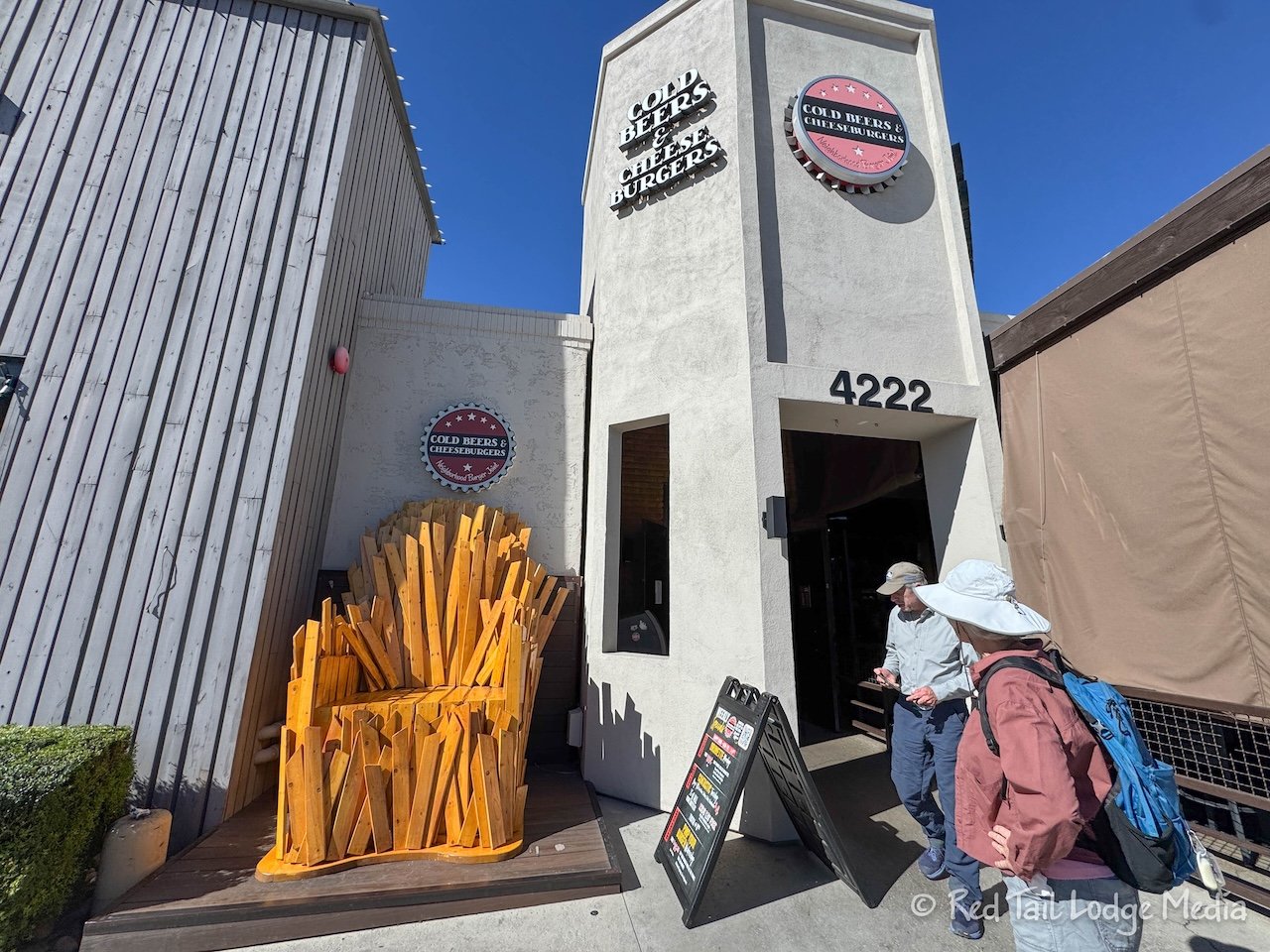
Once we reached the old town, we strolled along East 5th Avenue, enjoying peering into all of the interesting shops. There is also a nice Bronze Horse Fountain at the main square along the street. When we reached North Scottsdale Road, we stopped at Cold Beers & Cheeseburgers for lunch. The food was pretty tasty.
We’ve been to Scottsdale before, but we didn’t go down 5th Avenue that time, so everything looked different (link to post). The previous time we ate lunch at Diego Pops and strolled up and down Main Street before having ice cream at the Sugar Bowl. It just goes to show you that there is always something new to explore, no matter how many times you visit a place.
On our way back to McDowell, we stopped at a grocery store to pick up some more supplies. Hopefully we now have enough food to get through the rest of our two week trip. Then we dropped Sandy off at Mink’s Camp before heading back to our camp site. Back at camp, we made dinner outside while we listened to the coyotes making their usual evening howls.
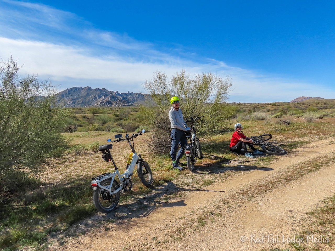
Thursday, while Dave went on another bike ride with his tour group, the rest of us went on our own bike ride. Sandy drove over to the Ironwood Campground and parked in a day use area close to our camp site. Then we all left together on our bikes.
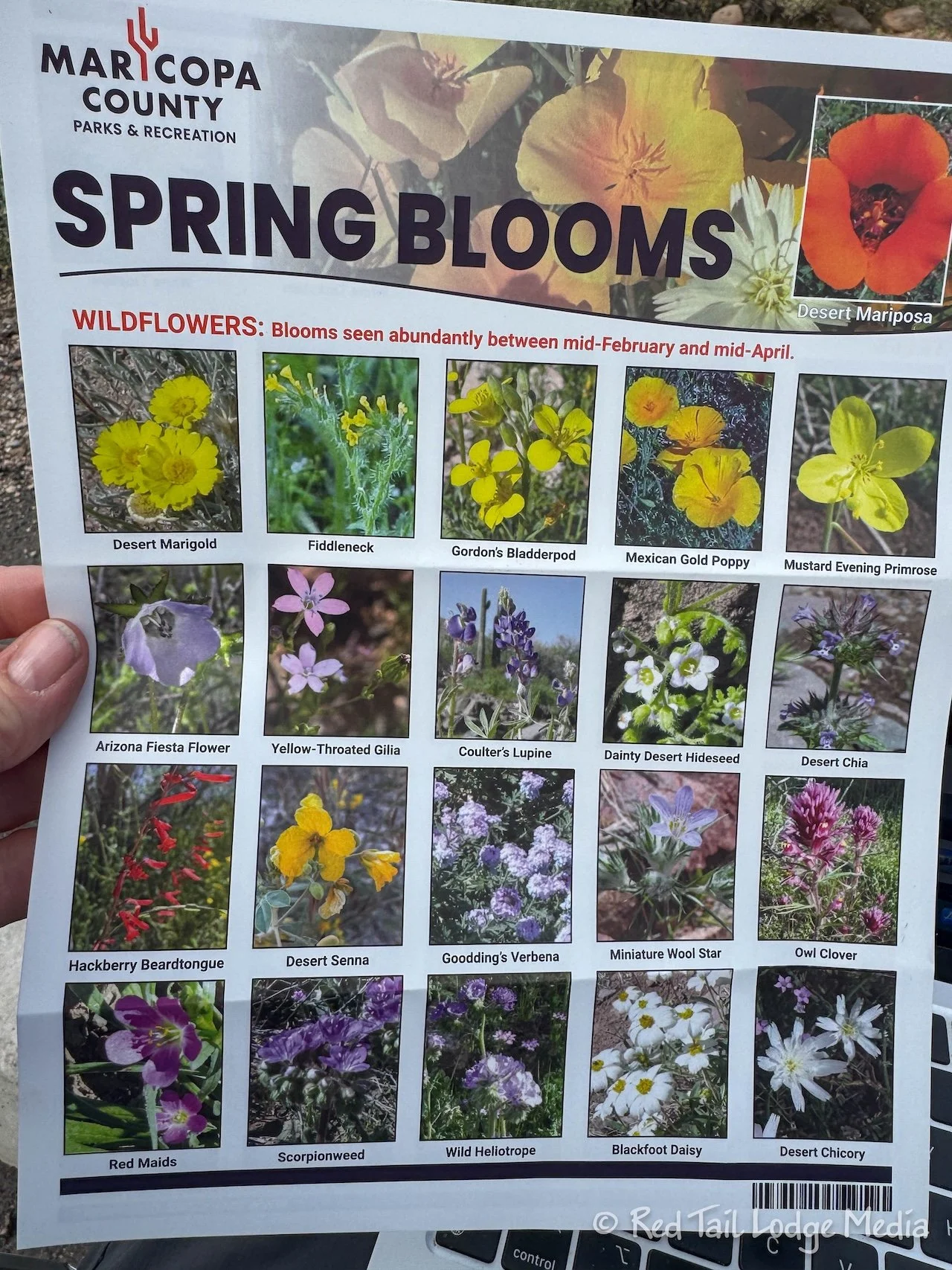
We took the park road over to the Nature Center before crossing the road to start the Wagner Trail. Keith wanted to stop in the Nature Center to ask what the name of the tree was with the green bark. We found out it was called Paloverde. Sandy picked up a lovely plant identification sheet with great colored photographs of each plant.
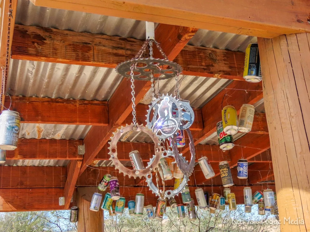
We biked a route that a local had suggested a couple of days prior. We went along Wagner Trail, then turned right onto Granite Trail before making another right onto Delsie. We followed the Delsie all the way up to where it joined the Pemberton Trail, at Granite Tank. There was a nice shelter there. There were aluminum cans and bike gear sprockets strung by wire from the shelter’s roof. It was an unusual and noisy decoration.
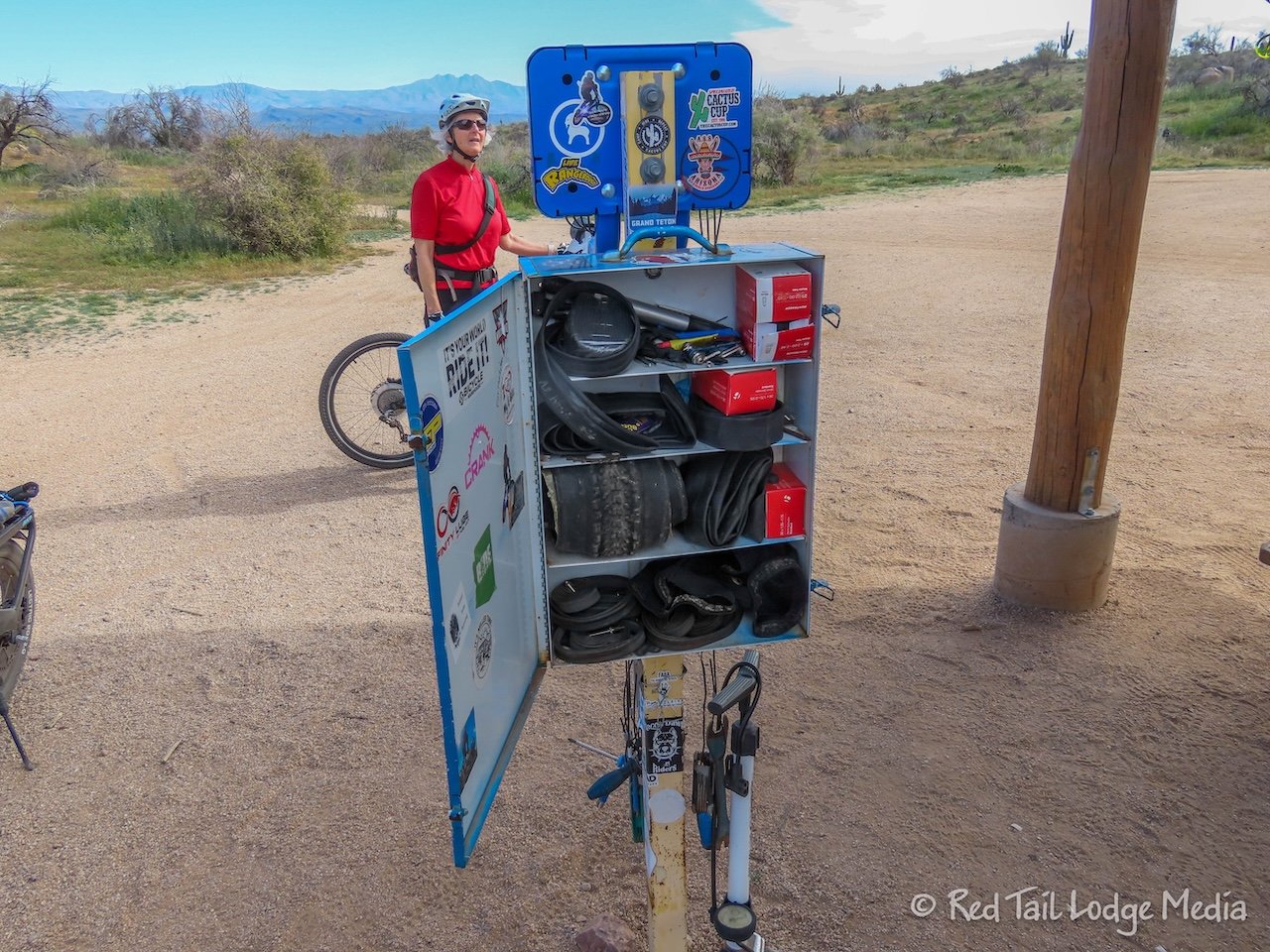
There was also a nice bike repair and maintenance station with all kinds of tools and supplies, like inner tubes and tires. There was even an electrical outlet labeled e-bike charger, but it wasn’t connected to anything. We all had a good laugh.
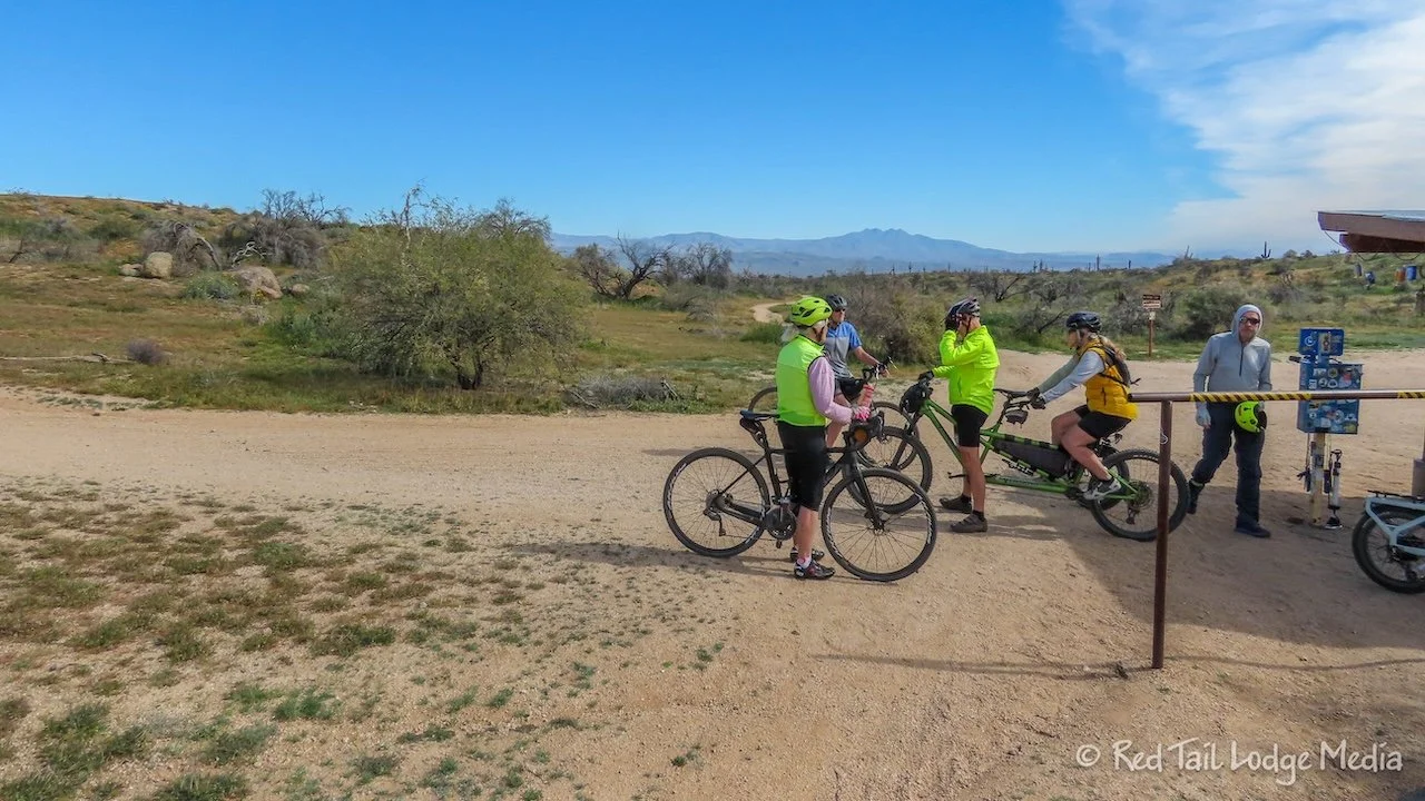
At the shelter, we met a couple riding a tandem bike. They ride it all the time and know the trails in McDowell pretty well. We can’t imagine taking such a long bike around some of the tight turns on the trail, but they seem to manage and love it.
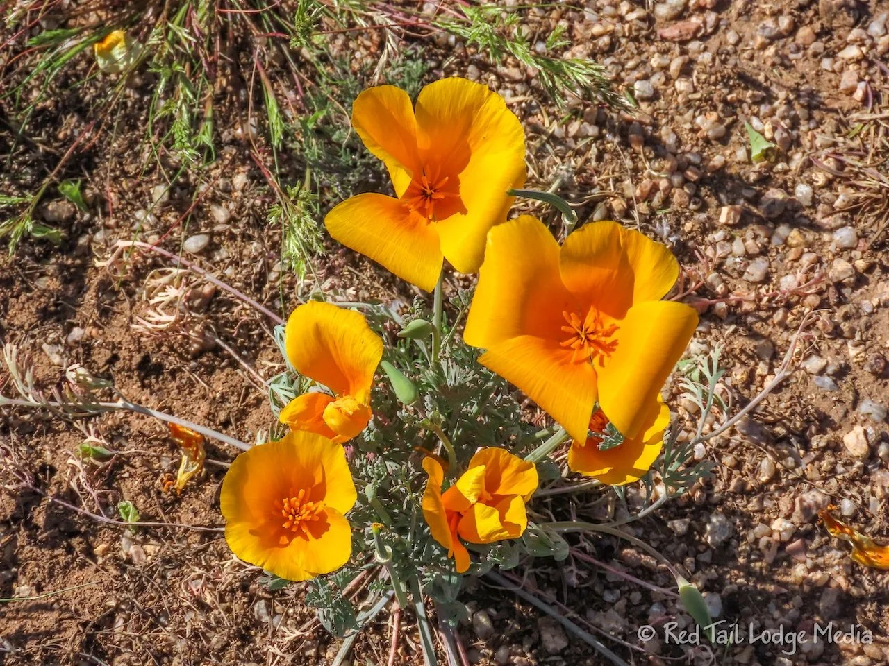
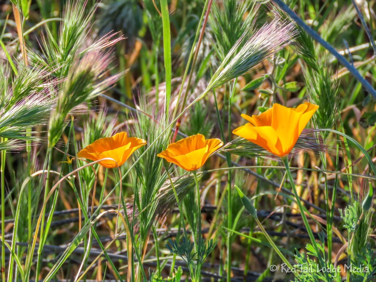
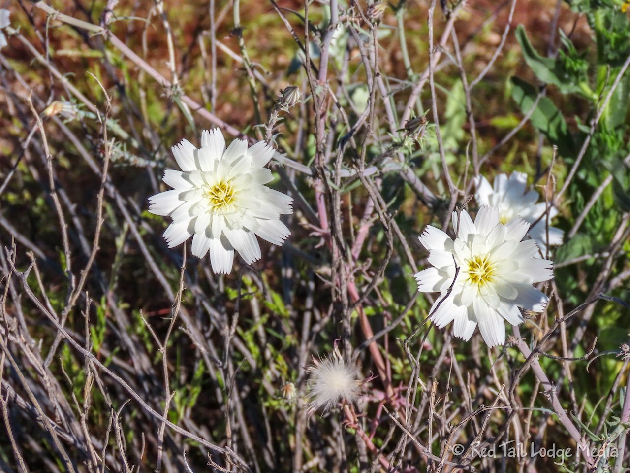
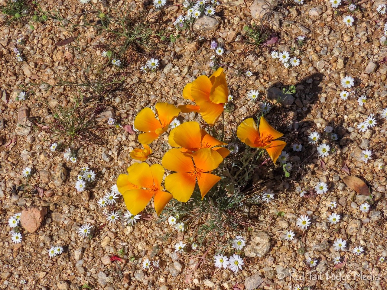
After enjoying the snacks we brought with us, we headed back the way we came. There was a large burn area along the Delsie Trail from a fire just a year or two ago. But there were large patches of Mexican golden poppies in bloom throughout the area. We were told that the poppies normally don’t bloom until April, so we felt lucky to see them in February. No one seemed to know why they were blooming so early.
Once we reached the Nature Center again, we took the trails back to the campground instead of the road. It was the same route Keith and Ann had taken a couple of days before, Tortoise to Pemberton to Escondido. By the time we returned to the campground, we had covered over 15 miles with an elevation gain of 791 feet, which we completed in a little over four hours. It was a much more enjoyable ride than the Scenic Trail we were on a couple of days prior, as these trails were all rated easy instead of moderate, with no major rocks on the paths. Now that’s more like it!
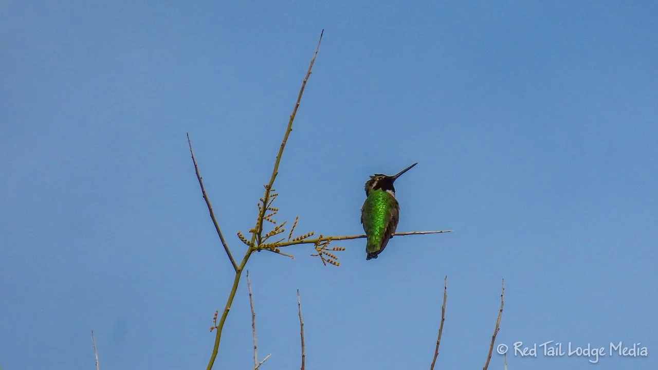
After eating lunch at Ann and Keith’s camp site, Sandy drove back to Mink’s Camp to rejoin the group that had returned from their ride. Ann rode her bike over to the Staging Area to take a shower. She took the trails there, then followed the road on the way back. It was 2.6 miles to reach the showers in 21 minutes by the trails. To return via the road, it was a little longer distance, closer to 3 miles, but took less time since she could ride faster and it was mostly downhill. That way Ann could stay clean after her shower by not getting sweaty and dusty. She also cranked up the pedal assist on the way back to make sure she didn’t break a sweat.
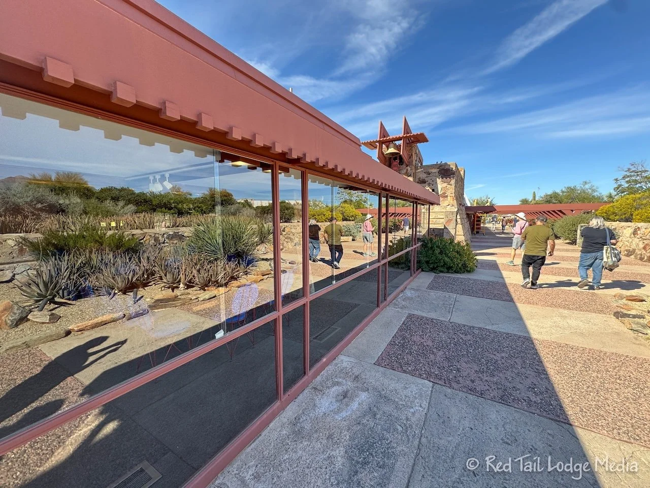
Friday, Dave rode off with his group again. Keith decided to chill at the camp site while Sandy and Ann went into Scottsdale to visit Taliesin West. Taliesin West was Frank Lloyd Wright’s winter home and studio. Keith and Ann had visited it before (Lost Dutchman State Park, Arizona - September 17th to 20th, 2023), but Sandy had never been there. Ann didn’t mind taking the audio tour again. This time, there were new art installations by Artist-in-Residence Erika Lynne Hanson. So Ann had new things to see.
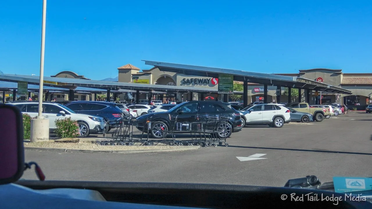
On the way back to McDowell, Ann and Sandy stopped at the grocery store again. So much for making the previous grocery stop last for the rest of the trip. Ann had forgotten to pack soy sauce for the fried rice, Keith was out of milk for his coffee, and Sandy needed to stop at an ATM.
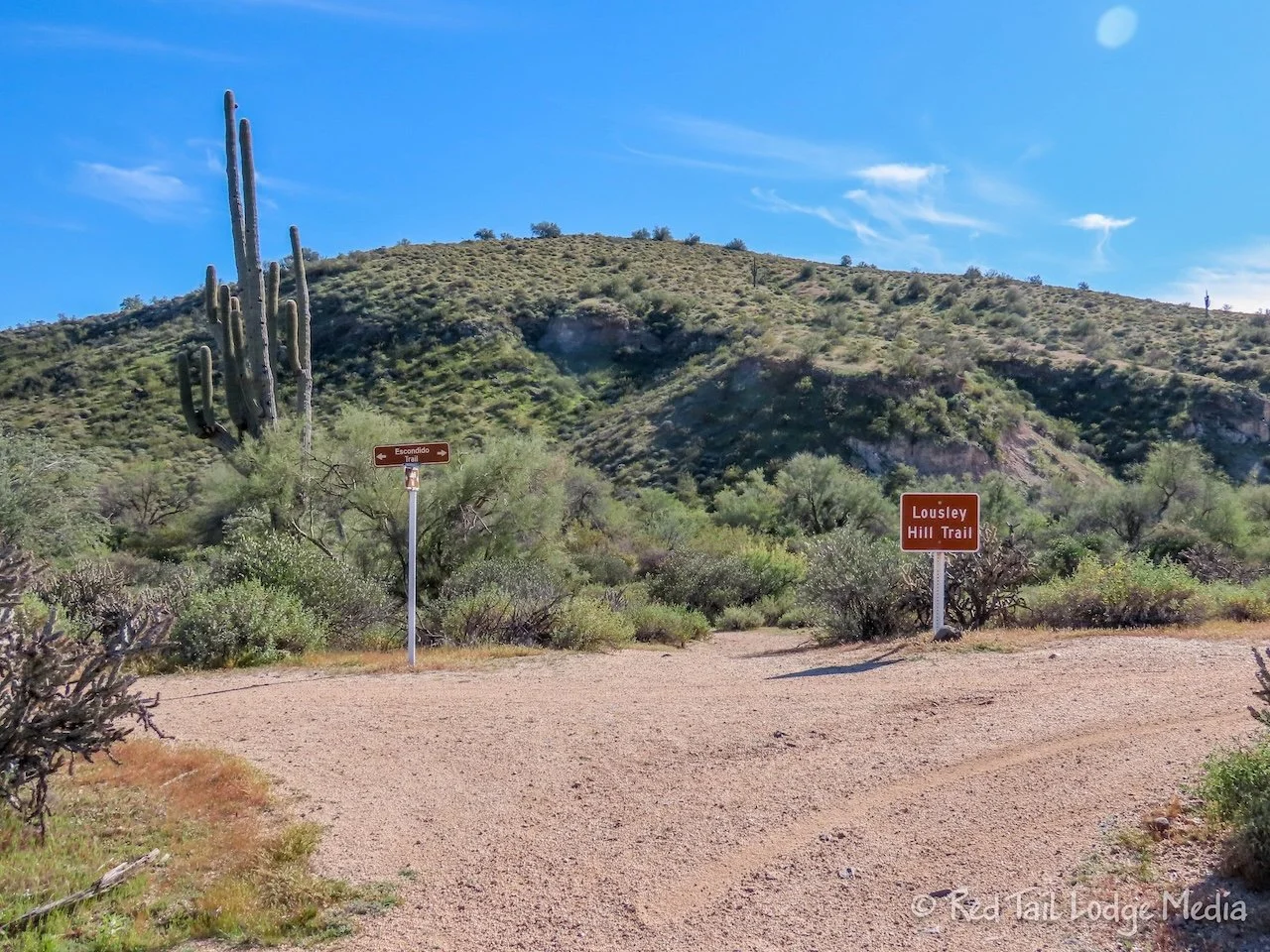
After returning to camp and enjoying our lunches, Ann went for a short hike. The Lousley Hill Trail starts right at the campground. The trail is for hikers only (no bikes or horses allowed). It goes up to the top of a hill, then follows the ridge line a little ways before winding back down the hill. From our campsite, Ann covered 1.9 miles with an elevation gain of 302 feet which she completed in about an hour.
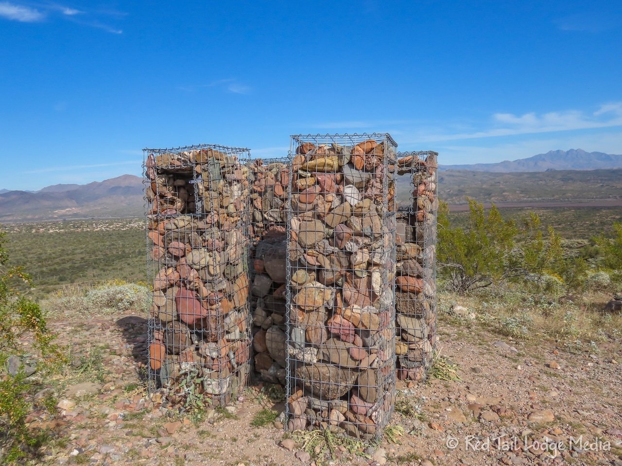
Ann had her camera with her and there were lots of wildflowers alongside the trail and great views from the top of the hill. At the top was an installation from a Boy Scout Eagle Project. There were four pillars formed by wire mesh and filled with rocks. In each pillar was a rectangular cut out, framing in a view. Below each cut out was a plaque pointing out a feature in the view. Nice!
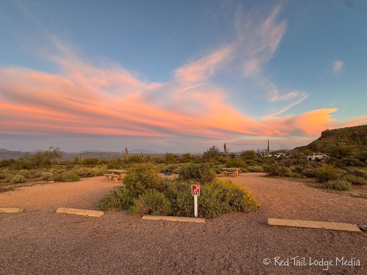
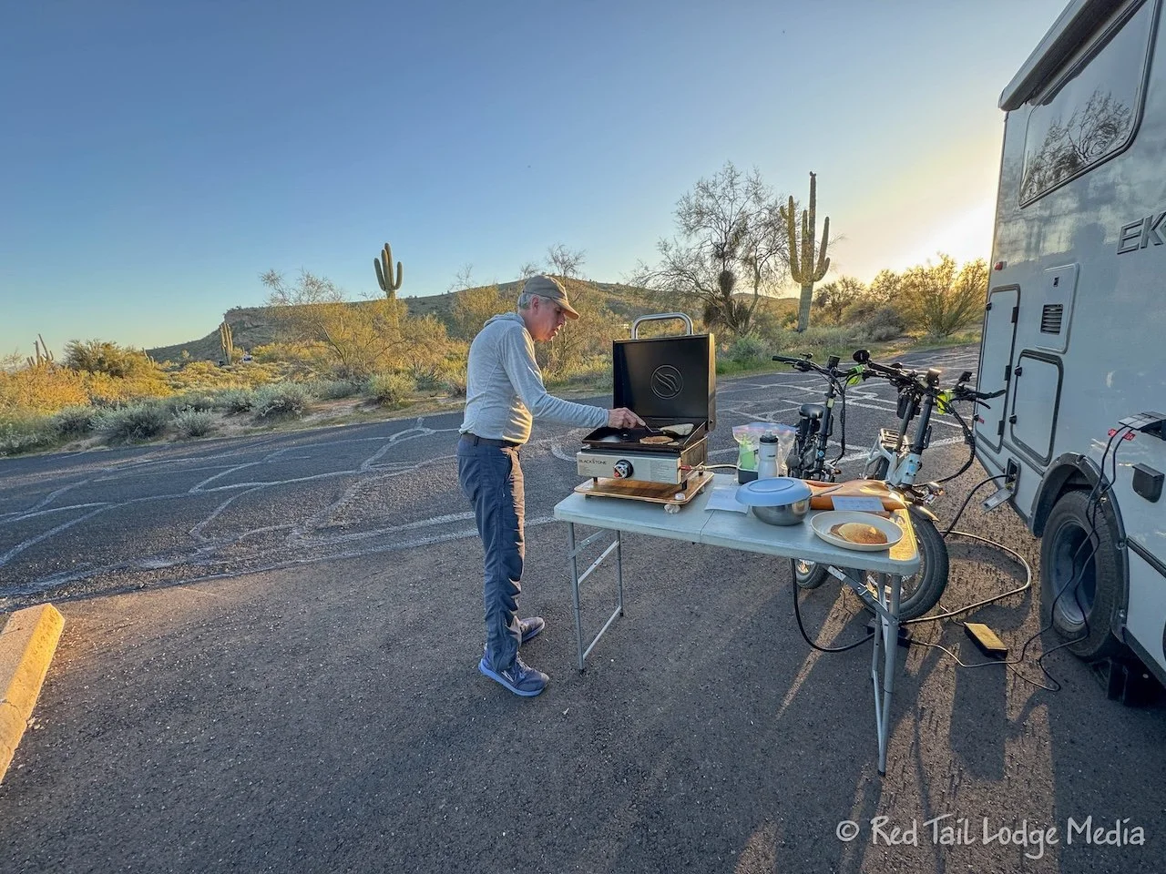
Ann returned in time to start dinner. You guessed it, fried rice on the Blackstone griddle (paid link), using the freshly bought soy sauce. Temperatures were in the 70’s, so it was nice to cook outside. In fact, the high daily temperatures have been in the 70’s and 80’s the whole time we were in McDowell, so we cooked outside every evening. It was only dropping down to the 50’s over night, making it very pleasant.
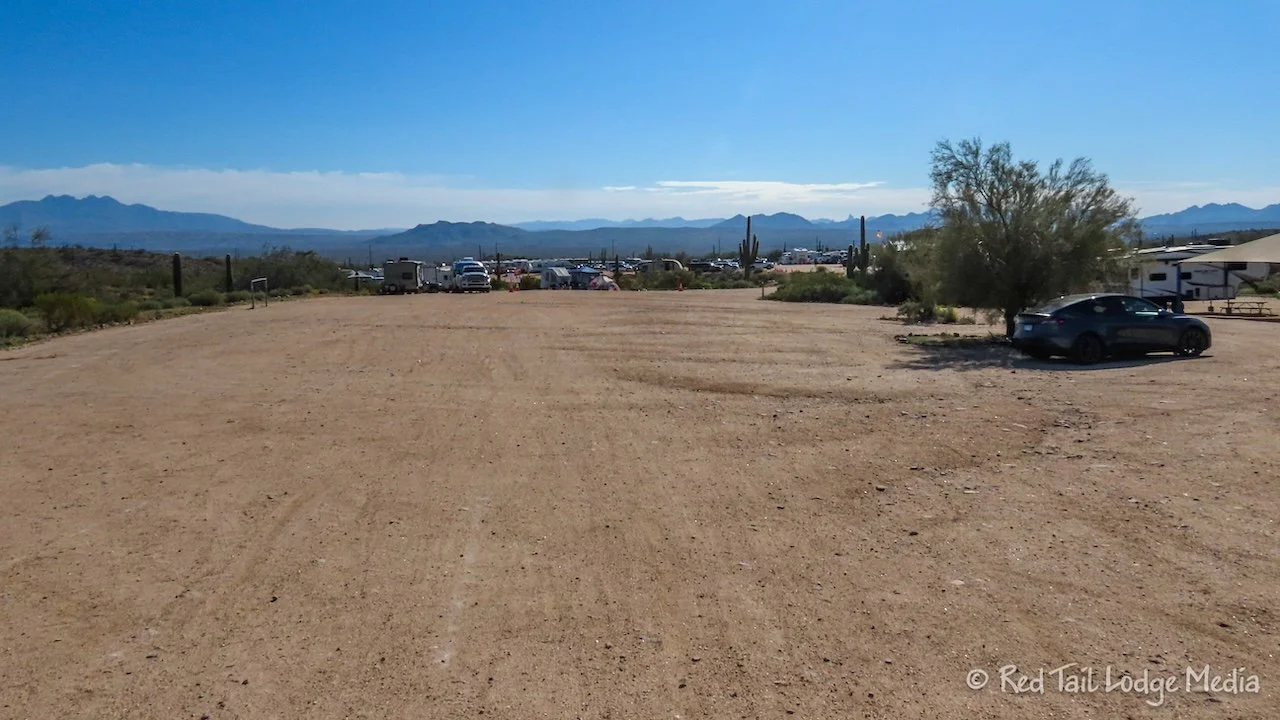
It was time to leave McDowell Mountain Regional Park on Saturday. However, Dave had a morning ride with his group before we left. So the rest of us went on a bike ride as well. We broke camp and drove over to the Trailhead Staging Area to start our ride from there. There was a trail run starting at the Staging Area that day, but it must have been about over, because we didn’t see very many runners on the trails.
Our route started out on the Scenic Trail. Yes, that is the same trail we went on the first day that we didn’t like due to all of the rocks. However, we went on the easy section from Pemberton to Cinch. We turned onto Cinch, taking it to Escondido. Turning right onto Escondido, it was a short distance to pick up the Shallmo Wash Trail, at the Four Peaks Staging Area, which was right across the road from the Competitive Track. There was some kind of race that day, so the parking areas were pretty full.
It had been mostly downhill, so now it was time to go uphill back to the Trailhead Staging Area. Even though Shalom Wash was listed as an easy trail, there were a few rocky sections, but they were short and manageable. When we returned to the Staging Area, Keith decided to stay there while Ann and Sandy decided to add another loop.
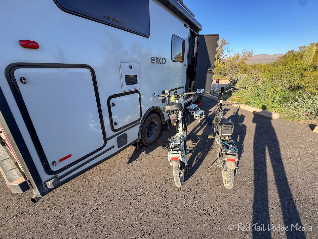
While Keith was trying to put his bike away, he couldn’t get one of his bike pedals off. He had troubles getting it off the first day, after our ride on the Scenic Trail on Tuesday. There was probably damage due to hitting the pedals on rocks. However, we had no problems getting it off after our ride on Thursday. But this time the pedal was being more stubborn. Even after using some percussive maintenance (whacking on it), it still wouldn’t budge. The pedals are quick release, but not that day. Keith gave up for the time being and would wait for Ann to come back to help before trying again. We need to get the pedal off in order for the bike to fit in Red Tail’s gear garage.
In the meantime, Sandy and Ann headed back on the Pemberton Trail to catch the Granite Trail. They followed the Granite Trail as it circled around the E. I. Rowland Campground, then turned onto the Wagner Trail. At the end of Wagner, they crossed the road to pick up the Tortoise Trail to return to the Staging Area.
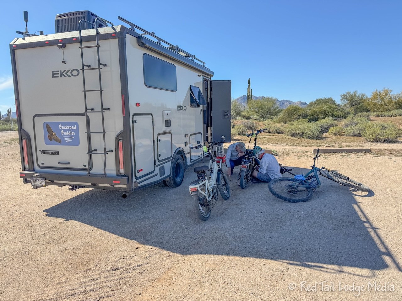
By the time Ann and Sandy got back to the Staging Area, Dave and his tour group were already there. After lunch and showers, we tried working on Keith’s bike again. Dave came over to help as well. Finally with some more percussive maintenance, the pedal popped off. If that had not worked, our backup plan was to fold the bike and put it inside the living space of Red Tail. That would not have been ideal, but it would have allowed us to continue our trip.
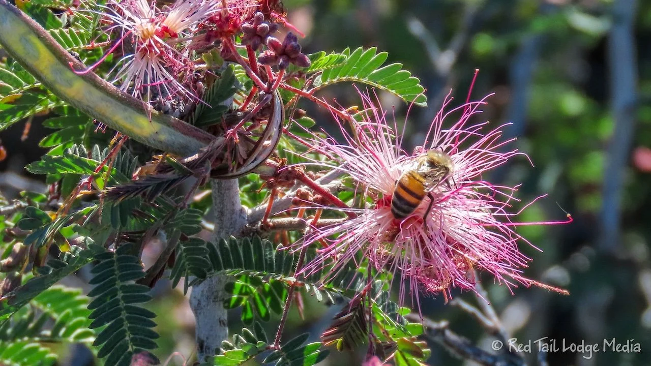
Then it was time to pack up and head out. We stopped by the dump station to dump our cassette toilet, which was pretty full after five days. There were a ton of bees buzzing around the water at the dump station, but we managed to rinse out our cassette without getting stung. Then we unloaded some recyclables at the bins behind the Nature Center and hit the road.
Even though we are not mountain bikers and McDowell Mountain Regional Park’s focus is on mountain bike trails, we thoroughly enjoyed our time there. It is amazing how much wildlife is in the desert. Of course, if we visit again, we will be sure to stay on the easy trails, at least when we are on our bikes.
Check out our related video: McDowell Mountain Regional Park, Arizona
(Ann)